Old Maps of Belle Plaine, Iowa
Explore 17 old maps of Belle Plaine, spanning from 1954 to today. These high-resolution historic maps reveal how streets, neighborhoods, landmarks, and natural features evolved over time — perfect for genealogy, metal detecting, research, and local history exploration.
What you can do with these maps:
- See how Belle Plaine changed over time: Compare historical maps to modern-day views to trace roads, homesites, rail lines & more.
- View detailed metadata: Each map includes creators, publishers, year, scale, and archive source.
- Overlay maps with satellite & LiDAR: Visualize the past alongside modern tools to explore terrain & human change.
- Trusted historical sources: Maps sourced from the USGS, Library of Congress, and other archives.
- Access maps your way: View online, download high-res files, or order prints for personal or research use.
Start exploring old maps of Belle Plaine to uncover forgotten places, hidden landmarks, and the deep history beneath your feet.
Belle Plaine, IA maps
(17)- 1954 Map of Des Moines, 1973 Print
 1954 Des Moines1973 Print · USGSCentral Iowa's evolving landscape is captured here in the early seventies, just as major reservoirs were reshaping the river valleys. Genealogists and historians can trace the rail corridors of the Burlington Northern or locate family roots near Pella, Indianola, and Knoxville.2 unique versions available
 - 1956 Map of Des Moines
 1956 Des Moines1956 Print · USGSCentral Iowa in the mid-fifties shows a landscape defined by bustling rail hubs and deep-rooted agricultural research. Genealogists and researchers can trace the growth of Des Moines and Ames, locate the Sac and Fox Indian Reservation, or study the paths of the Skunk River and South Skunk River.
 - 1957 Map of Des Moines
 1957 Des Moines1957 Print · USGSCentral Iowa's post-war landscape is defined here by the converging rail lines and river valleys that shaped its earliest settlements. Genealogists and historians can trace the paths of the Rock Island Railroad and locate community landmarks in Des Moines, Ames, and Newton.
 - 1968 Map of Belle Plaine, 1970 Print
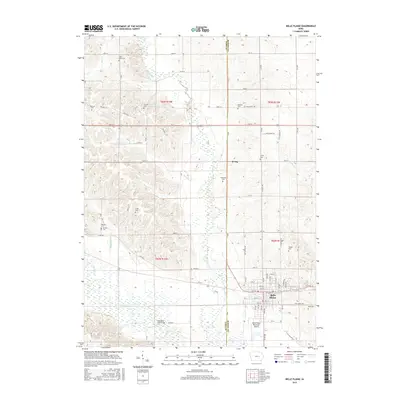
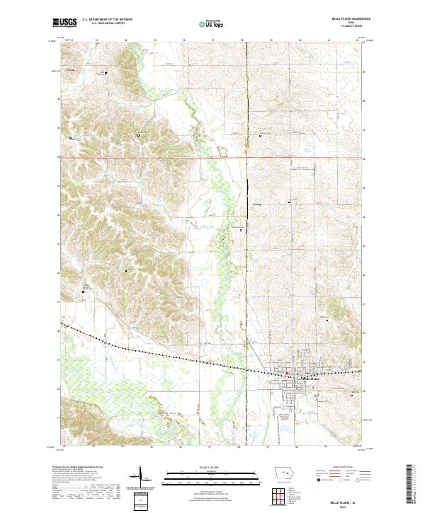
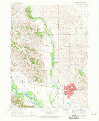 1968 Belle Plaine1970 Print · USGSBenton and Tama counties appear here in the late sixties, centered on the rail hub of Belle Plaine and the Iowa River. Genealogists can locate several local burial sites including St Marys Cem, Irving Cem, and National Cem.2 unique versions available
 - 1968 Map of Hartwick, 1970 Print
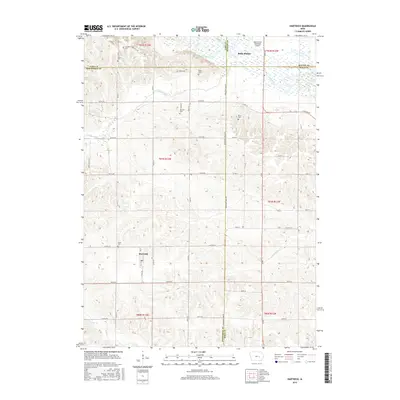
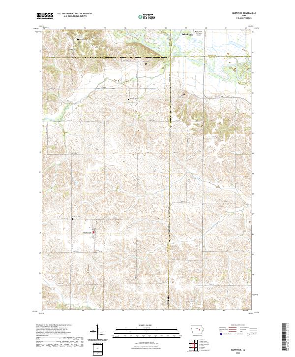
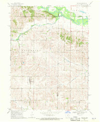 1968 Hartwick1970 Print · USGSThe rural landscape around Hartwick is shown in the late sixties, where the Iowa River meets the borders of several counties. Genealogists and local historians can trace family plots at Union Cem or Holan Cem and locate an Old Railroad Grade through the northern hills.
 - 1969 Map of Des Moines
 1969 Des Moines1969 Print · USGSCentral Iowa's fertile plains and growing capital are captured here during the late sixties, a time of major highway expansion and reservoir construction. Genealogists and researchers can trace rural township boundaries, local cemeteries, and rail lines serving towns like Pella, Grinnell, and Oskaloosa.
 - 1984 Map of Grinnell, 1985 Print
 1984 Grinnell1985 Print · USGSCentral Iowa's prairie towns and rail corridors are captured in the mid-1980s, showcasing the agricultural grid and protected marshlands. Researchers can trace historic routes along the Chicago and North Western or locate family roots near the Sac and Fox Indian Reservation and Lake Ponderosa.2 unique versions available
 - 2010 Map of Hartwick, 2010 Print
 2010 Hartwick2010 Print · USGSCovers Belle Plaine, including Hartwick, Benton County, and other nearby areas
 - 2010 Map of Belle Plaine, 2010 Print
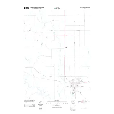
 2010 Belle Plaine2010 Print · USGSCovers Belle Plaine, including Irving, Benton County, and other nearby areas
 - 2013 Map of Belle Plaine, 2013 Print
 2013 Belle Plaine2013 Print · USGSCovers Belle Plaine, including Irving, Benton County, and other nearby areas
 - 2013 Map of Hartwick, 2013 Print
 2013 Hartwick2013 Print · USGSCovers Belle Plaine, including Hartwick, Benton County, and other nearby areas
 - 2015 Map of Hartwick, 2015 Print
 2015 Hartwick2015 Print · USGSCovers Belle Plaine, including Hartwick, Benton County, and other nearby areas
 - 2015 Map of Belle Plaine, 2015 Print
 2015 Belle Plaine2015 Print · USGSCovers Belle Plaine, including Irving, Benton County, and other nearby areas
 - 2018 Map of Hartwick, 2018 Print
 2018 Hartwick2018 Print · USGSCovers Belle Plaine, including Hartwick, Benton County, and other nearby areas
 - 2018 Map of Belle Plaine, 2018 Print
 2018 Belle Plaine2018 Print · USGSCovers Belle Plaine, including Irving, Benton County, and other nearby areas
 - 2022 Map of Hartwick, 2022 Print
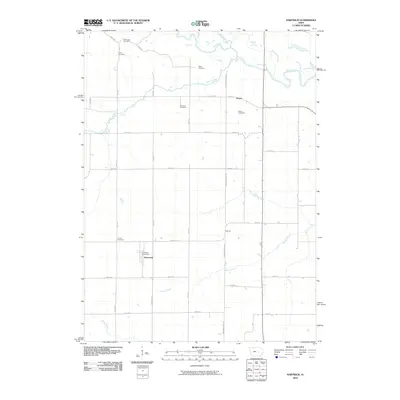
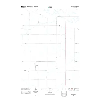
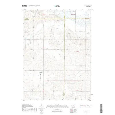
 2022 Hartwick2022 Print · USGSThe rural agricultural heart of Poweshiek County is captured here in the early twenty-first century, centered on the village of Hartwick. Genealogists can trace a remarkable number of local burial sites, including Dover Pioneer Cem, Holan Cem, and Blake Cem.
 - 2022 Map of Belle Plaine, 2022 Print
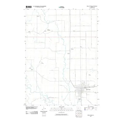
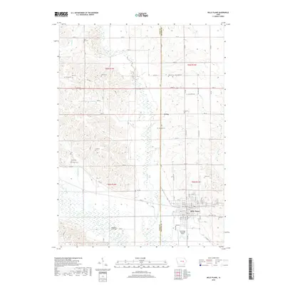
 2022 Belle Plaine2022 Print · USGSBelle Plaine and the Iowa River valley are documented in this recent survey, showing the town's expansion and its surrounding agricultural landscape. Genealogists can locate numerous family-named burial sites like Craig Cem and National Cem.
End of results
Showing maps 1-17 of 17
Top cities near Belle Plaine
- Marengo historical maps
- Brooklyn historical maps
- Victor historical maps
- Van Horne historical maps
- Blairstown historical maps
- Keystone historical maps
See more
Frequently asked questions
- What are the different types of historical maps available for Belle Plaine?
- What is the oldest map of Belle Plaine?
- Where can I purchase historical maps of Belle Plaine for my home or office?
- Where can I download high-res historical maps of Belle Plaine?
- Are there historical topographic maps available for Belle Plaine?
- Is there historical aerial imagery available for Belle Plaine?
- Where are historical maps of Belle Plaine sourced from?