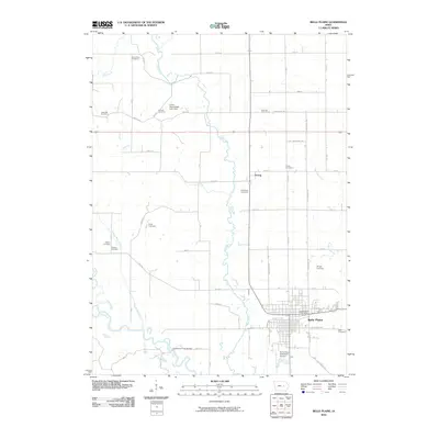
2010 Map of Belle Plaine
USGS Topo · Published 2010About this map
The Iowa River meanders across the southern portion of this landscape, its floodplains defined by numerous smaller tributaries including Otter Creek, Plague Mine Creek, and Salt Creek. The city of Belle Plaine serves as the regional hub, situated north of the river and south of the crossroads settlement at Irving. This area in Benton County shows a dense distribution of rural burial grounds, which provide significant genealogical data for the region. These include the National Cemetery, Dvorak Cemetery, Redman Cemetery, and several others like the Walton Cemetery and Flatters Cemetery positioned along the local ridges. The map captures the infrastructure of the early 21st century, from the Belle Plaine Municipal Airport and Belle Plaine Post Office to the Chambers Ford Bridge crossing the river, illustrating the persistent connection between the town and its surrounding agricultural and riparian environment.
Find a feature on this map
43 named features on this map. Tap any name to fly to it.
Don’t see what you’re looking for? This feature index may not catch every label — zoom into the map to look around manually.
Map Details
Editions of this 2010 Belle Plaine Map
This is the sole edition of this map. No revisions or reprints were ever made.
Other maps of this area

1954 · Waterloo
USGS Topo · 1:250,000

1954 · Des Moines
USGS Topo · 1:250,000

1955 · Waterloo
USGS Topo · 1:250,000

1956 · Des Moines
USGS Topo · 1:250,000

1957 · Des Moines
USGS Topo · 1:250,000

1965 · Ladora
USGS Topo · 1:24,000

1965 · Keystone South
USGS Topo · 1:24,000

1968 · Belle Plaine SW
USGS Topo · 1:24,000

1968 · Belle Plaine
USGS Topo · 1:24,000

1968 · Chelsea
USGS Topo · 1:24,000