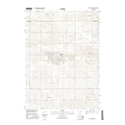
1968 Map of Belle Plaine SW
USGS Topo · Published 1970About this map
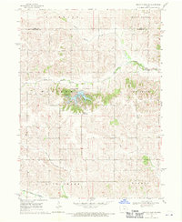
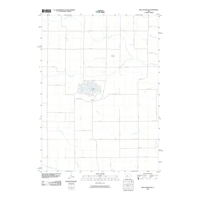
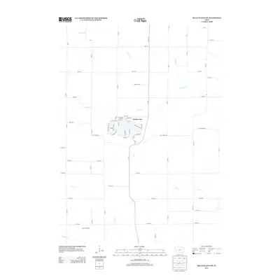
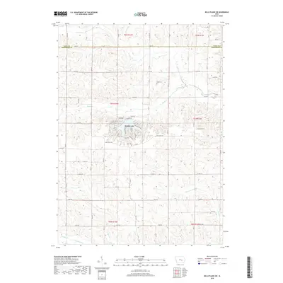
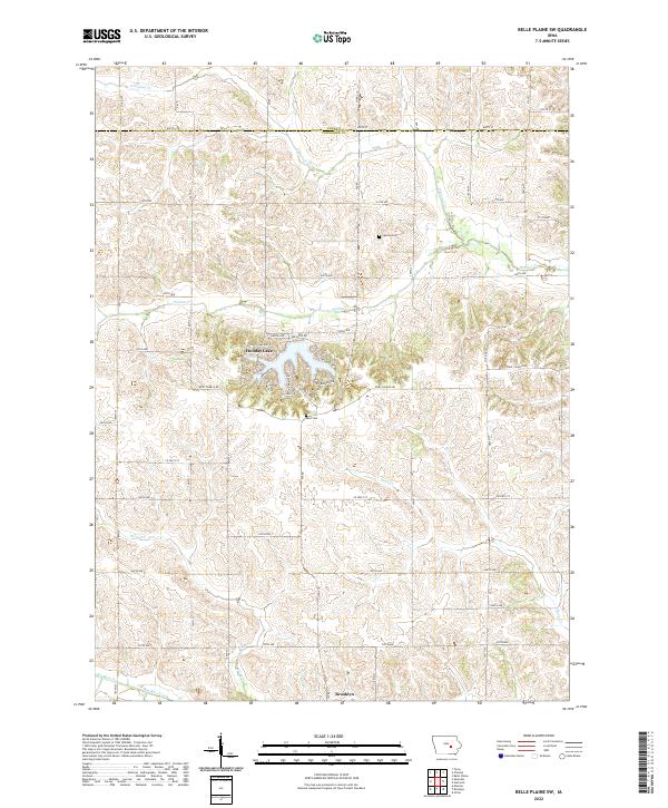
Holiday Lake sits at the center of this rural landscape, its branching shoreline providing a distinct contrast to the surrounding agricultural grid of Poweshiek and Tama counties. Just south of the lake, Kent Chapel stands as a focal point for the local community, while the terrain is defined by the drainage patterns of North Walnut Creek and Walnut Creek to the north. The area is marked by a complex system of farm-and-field lines, noted in the 1968 field check as fine red dashed lines visible from aerial photography. Towards the southern edge, the land slopes toward Big Bear Creek and the township boundaries of Bear Creek and Warren, illustrating the quiet, rural character of central Iowa before significant modern development altered these traditional township lines.
Find a feature on this map
15 named features on this map. Tap any name to fly to it.
Don’t see what you’re looking for? This feature index may not catch every label — zoom into the map to look around manually.
Map Details
Editions of this 1968 Belle Plaine SW Map
This is the sole edition of this map. No revisions or reprints were ever made.
Historical Maps of Brooklyn Through Time
24 maps found
1968 Belle Plaine SW
Poweshiek County, IA
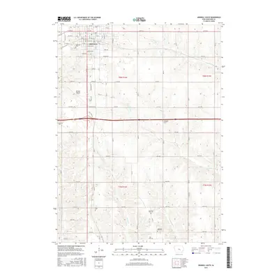
1979 Grinnell South
Poweshiek County, IA
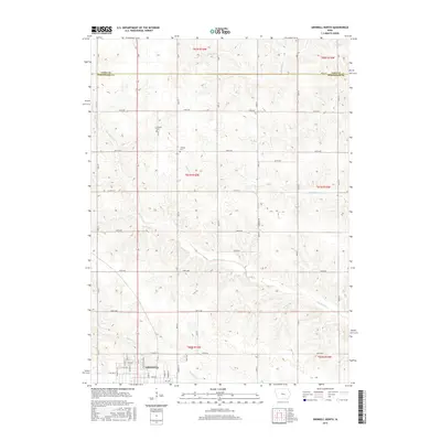
1980 Grinnell North
Poweshiek County, IA
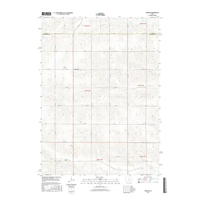
1980 Sheridan
Poweshiek County, IA
2010 Belle Plaine SW
Poweshiek County, IA
2010 Grinnell North
Poweshiek County, IA
2010 Grinnell South
Poweshiek County, IA
2010 Sheridan
Poweshiek County, IA
2013 Belle Plaine SW
Poweshiek County, IA
2013 Grinnell North
Poweshiek County, IA
2013 Grinnell South
Poweshiek County, IA
2013 Sheridan
Poweshiek County, IA
2015 Belle Plaine SW
Poweshiek County, IA
2015 Grinnell North
Poweshiek County, IA
2015 Grinnell South
Poweshiek County, IA
2015 Sheridan
Poweshiek County, IA
2018 Belle Plaine SW
Poweshiek County, IA
2018 Grinnell North
Poweshiek County, IA
2018 Grinnell South
Poweshiek County, IA
2018 Sheridan
Poweshiek County, IA
2022 Belle Plaine SW
Poweshiek County, IA
2022 Grinnell North
Poweshiek County, IA
2022 Grinnell South
Poweshiek County, IA
2022 Sheridan
Poweshiek County, IA