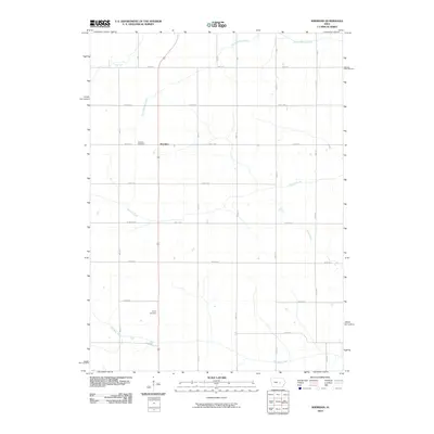
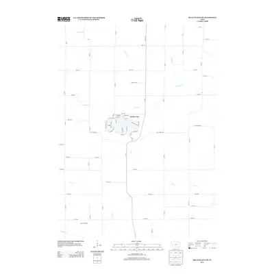
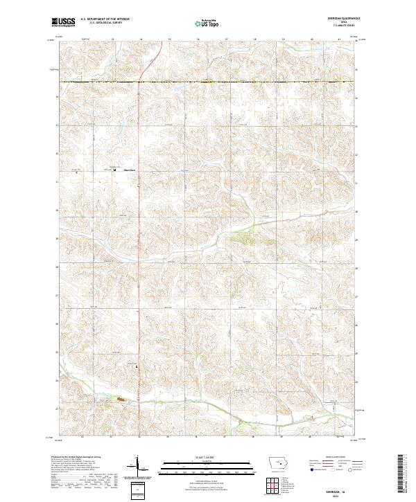
1980 Map of Sheridan
USGS Topo · Published 1980About this map
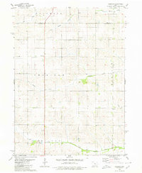
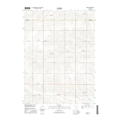
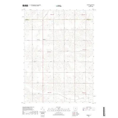
Big Bear Creek and Walnut Creek define the drainage patterns across this agricultural section of the Iowa interior. At the center of the survey lies the small community of Sheridan, served by the Sheridan Church and a nearby Cemetery. The landscape is partitioned into townships including Columbia, Richland, Madison, and Malcom, reflecting the orderly section-line grid typical of the region's development. Local religious life is anchored by dispersed landmarks such as Madison Church and Trinity Church, while industrial activity is limited to a small Quarry near the southern boundary. The survey meticulously documents the transition of small waterways like Elk Run and Stony Creek as they weave between high-ground farmsteads and the lowland valley floors.
Find a feature on this map
17 named features on this map. Tap any name to fly to it.
Don’t see what you’re looking for? This feature index may not catch every label — zoom into the map to look around manually.
Map Details
Editions of this 1980 Sheridan Map
This is the sole edition of this map. No revisions or reprints were ever made.
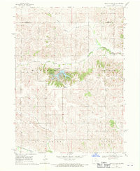
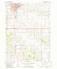
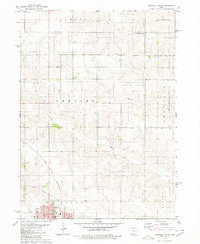
Historical Maps of Sheridan Through Time
24 maps found
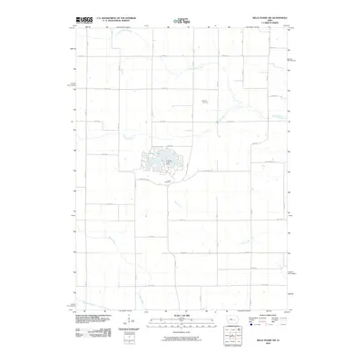
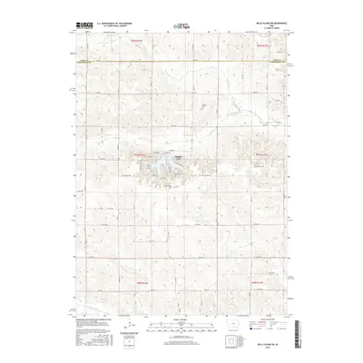
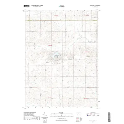
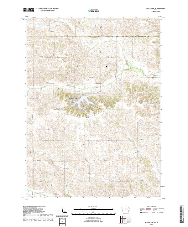
1968 Belle Plaine SW
Poweshiek County, IA
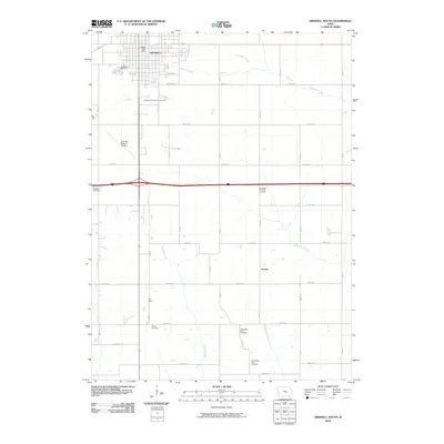
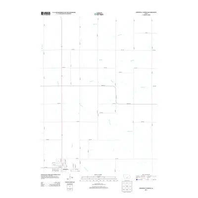
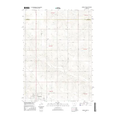
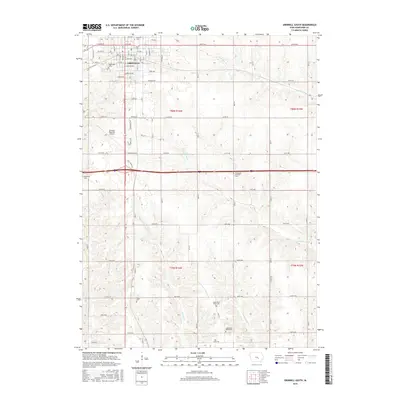
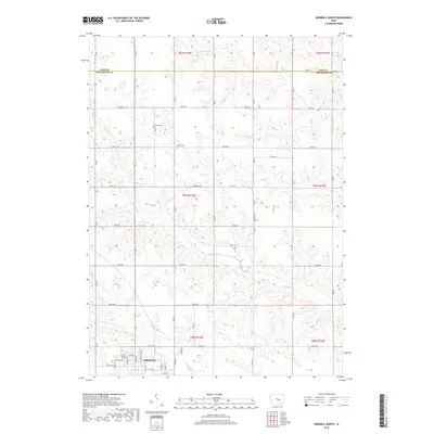
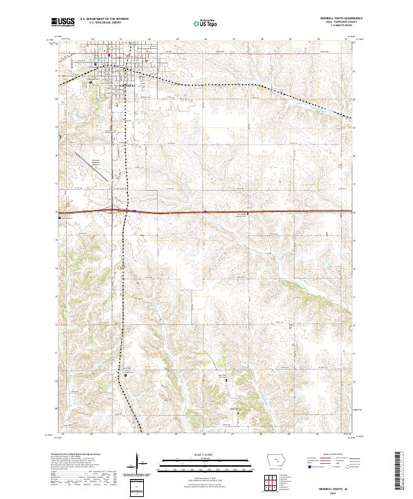
1979 Grinnell South
Poweshiek County, IA
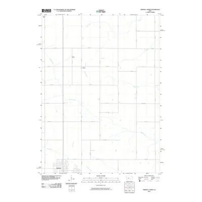
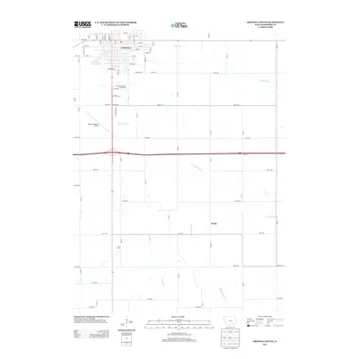
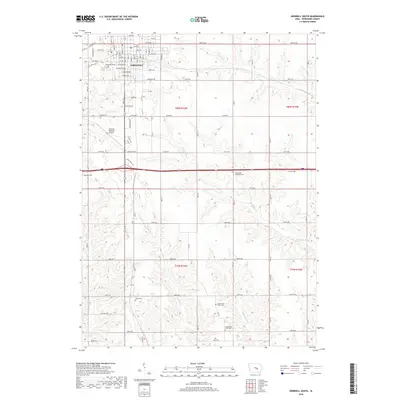
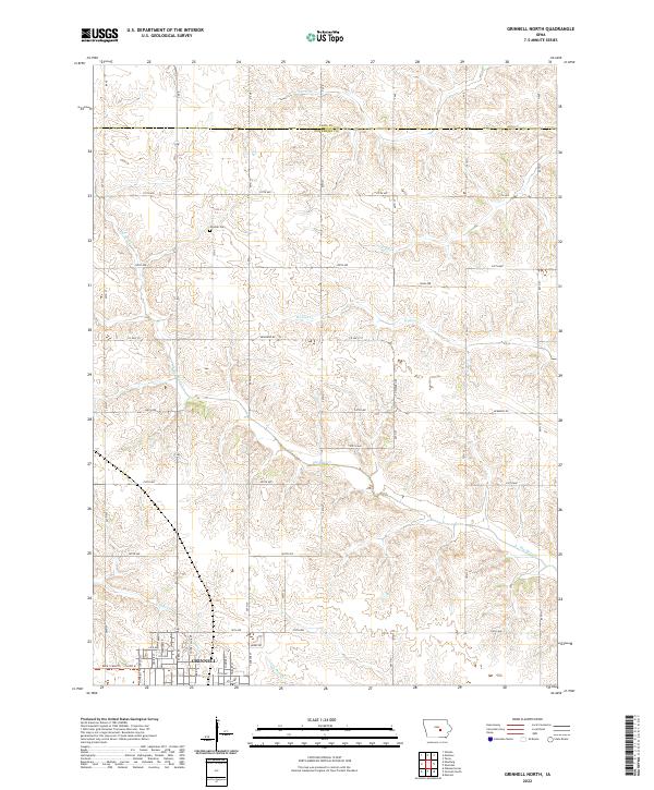
1980 Grinnell North
Poweshiek County, IA
1980 Sheridan
Poweshiek County, IA
2010 Belle Plaine SW
Poweshiek County, IA
2010 Grinnell North
Poweshiek County, IA
2010 Grinnell South
Poweshiek County, IA
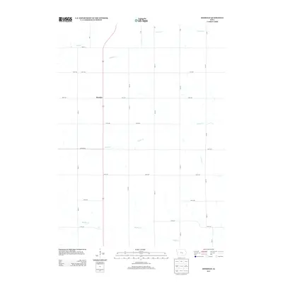
2010 Sheridan
Poweshiek County, IA
2013 Belle Plaine SW
Poweshiek County, IA
2013 Grinnell North
Poweshiek County, IA
2013 Grinnell South
Poweshiek County, IA
2013 Sheridan
Poweshiek County, IA
2015 Belle Plaine SW
Poweshiek County, IA
2015 Grinnell North
Poweshiek County, IA
2015 Grinnell South
Poweshiek County, IA
2015 Sheridan
Poweshiek County, IA
2018 Belle Plaine SW
Poweshiek County, IA
2018 Grinnell North
Poweshiek County, IA
2018 Grinnell South
Poweshiek County, IA
2018 Sheridan
Poweshiek County, IA
2022 Belle Plaine SW
Poweshiek County, IA
2022 Grinnell North
Poweshiek County, IA
2022 Grinnell South
Poweshiek County, IA
2022 Sheridan
Poweshiek County, IA