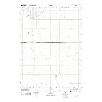
2010 Map of Grinnell South
USGS Topo · Published 2010About this map
The southern outskirts of Grinnell and the surrounding agricultural landscapes of Poweshiek County define this 2010 survey. Significant institutional landmarks occupy the northern portion of the sheet, including the Poweshiek County Fairgrounds and the Grinnell Regional Airport, while the Grinnell Post Office anchors the town center. The topography is shaped by the drainage of the North English River, English Creek, and Middle Buck Creek, which meander through a grid of rural section roads like Ewart Rd and 450th Ave. For genealogists, the map is remarkably dense with burial sites, showing the locations of the Hazelwood Cemetery, Westfield Cemetery, Norwegian Lutheran Cemetery, Hayes Cemetery, and both the Upper Blue Point Cemetery and Lower Blue Point Cemetery. Small rural intersections at Oak Grove and Jacobs provide evidence of earlier settlement patterns amidst the modern interstate and local road network.
Find a feature on this map
41 named features on this map. Tap any name to fly to it.
Don’t see what you’re looking for? This feature index may not catch every label — zoom into the map to look around manually.
Map Details
Editions of this 2010 Grinnell South Map
This is the sole edition of this map. No revisions or reprints were ever made.
Other maps of this area

1954 · Des Moines
USGS Topo · 1:250,000

1956 · Des Moines
USGS Topo · 1:250,000

1957 · Des Moines
USGS Topo · 1:250,000

1969 · Des Moines
USGS Topo · 1:250,000

1979 · Montezuma
USGS Topo · 1:24,000

1979 · Searsboro
USGS Topo · 1:24,000

1979 · Grinnell South
USGS Topo · 1:24,000
1979 · Malcom
USGS Topo · 1:24,000

1980 · Newburg
USGS Topo · 1:24,000

1980 · Sully
USGS Topo · 1:24,000