
1980 Map of Sully
USGS Topo · Published 1980About this map
The North Skunk River carves a diagonal path through this 1980 survey, defining the industrial and agricultural landscape of central Iowa. The neighboring towns of Sully and Lynnville serve as primary hubs, with the latter situated directly along the riverbanks near several active Sandpits. The map reveals a highly developed rural infrastructure, where a Municipal Landing Strip and multiple Sewage Disposal Ponds suggest the modernization of these small communities during the late twentieth century.
Find a feature on this map
31 named features on this map. Tap any name to fly to it.
Don’t see what you’re looking for? This feature index may not catch every label — zoom into the map to look around manually.
Map Details
Editions of this 1980 Sully Map
This is the sole edition of this map. No revisions or reprints were ever made.
Other maps of this area

1910 · Pella
USGS Topo · 1:62,500

1912 · Pella
USGS Topo · 1:62,500

1954 · Des Moines
USGS Topo · 1:250,000

1956 · Des Moines
USGS Topo · 1:250,000

1957 · Des Moines
USGS Topo · 1:250,000

1969 · Des Moines
USGS Topo · 1:250,000

1979 · Searsboro
USGS Topo · 1:24,000

1979 · Grinnell South
USGS Topo · 1:24,000
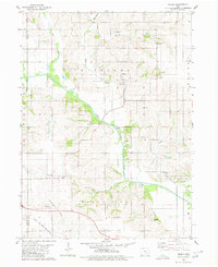
1980 · Peoria
USGS Topo · 1:24,000
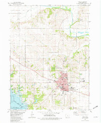
1980 · Pella
USGS Topo · 1:24,000