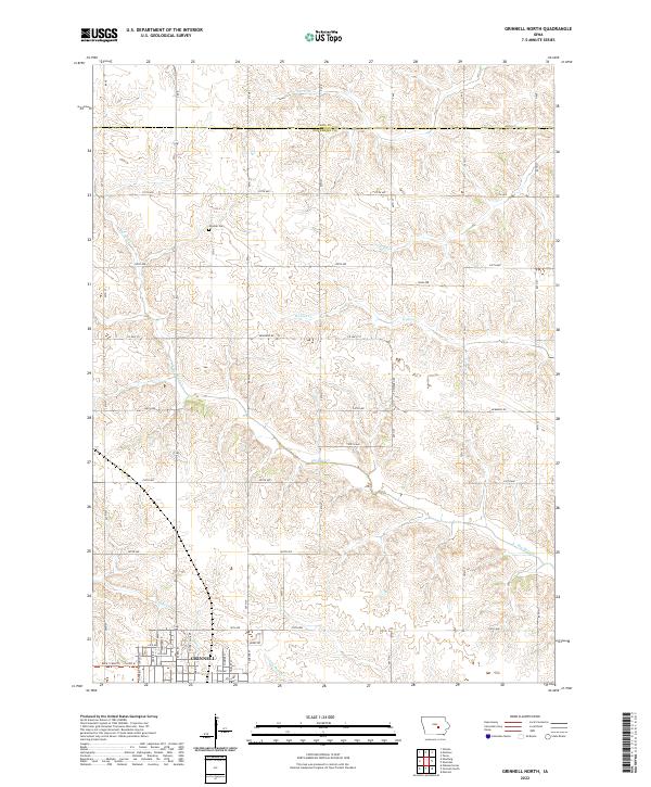
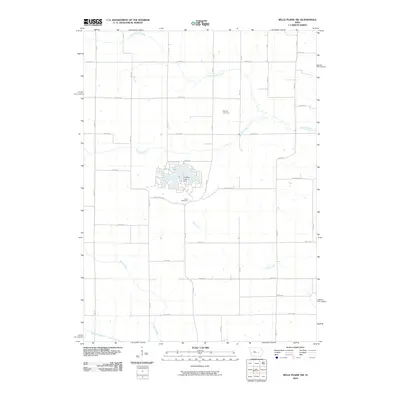
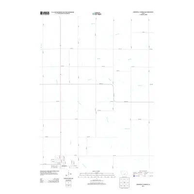
2022 Map of Grinnell North
USGS Topo · Published 2022About this map
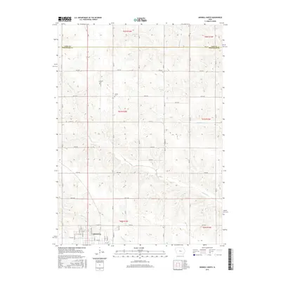
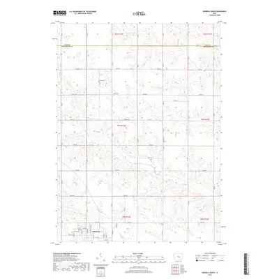
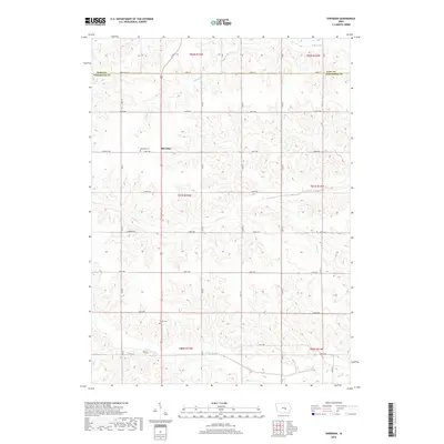
The northern reaches of Grinnell anchor this survey of the Iowa prairie, where the town's residential expansion meets an orderly grid of section lines and rural homesteads. The terrain is defined by the winding paths of Big Bear Cr and Walnut Cr, which carve gentle drainages through the agricultural landscape. For those tracing family roots, the Chester Cem stands as a central historical landmark north of the city center. The map illustrates a shift from the dense streets of the college town to the open spaces of the Tama and Poweshiek county border. This transition is marked by a sophisticated network of numbered roads, such as 310th Ave and 40th St, that facilitate the region's agricultural economy. Smaller waterways like Elk Run and Abes Fork further detail the local hydrology, providing a clear picture of the land's natural drainage before it reaches the larger creek systems.
Find a feature on this map
59 named features on this map. Tap any name to fly to it.
Don’t see what you’re looking for? This feature index may not catch every label — zoom into the map to look around manually.
Map Details
Editions of this 2022 Grinnell North Map
This is the sole edition of this map. No revisions or reprints were ever made.
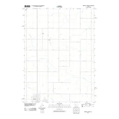
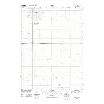
Historical Maps of Grinnell Through Time
24 maps found
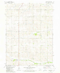
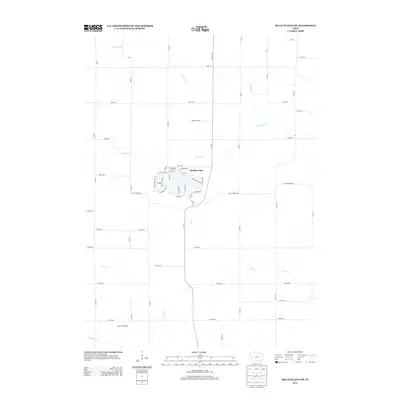
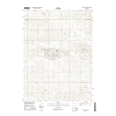
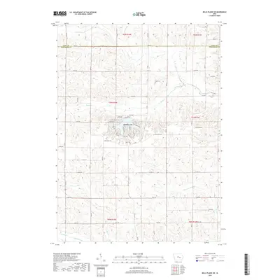
1968 Belle Plaine SW
Poweshiek County, IA
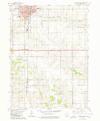
1979 Grinnell South
Poweshiek County, IA
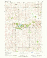
1980 Grinnell North
Poweshiek County, IA
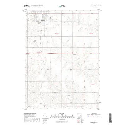
1980 Sheridan
Poweshiek County, IA
2010 Belle Plaine SW
Poweshiek County, IA
2010 Grinnell North
Poweshiek County, IA
2010 Grinnell South
Poweshiek County, IA
2010 Sheridan
Poweshiek County, IA
2013 Belle Plaine SW
Poweshiek County, IA
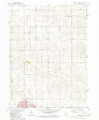
2013 Grinnell North
Poweshiek County, IA
2013 Grinnell South
Poweshiek County, IA
2013 Sheridan
Poweshiek County, IA
2015 Belle Plaine SW
Poweshiek County, IA
2015 Grinnell North
Poweshiek County, IA
2015 Grinnell South
Poweshiek County, IA
2015 Sheridan
Poweshiek County, IA
2018 Belle Plaine SW
Poweshiek County, IA
2018 Grinnell North
Poweshiek County, IA
2018 Grinnell South
Poweshiek County, IA
2018 Sheridan
Poweshiek County, IA
2022 Belle Plaine SW
Poweshiek County, IA
2022 Grinnell North
Poweshiek County, IA
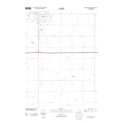
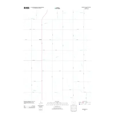
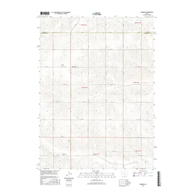
2022 Grinnell South
Poweshiek County, IA
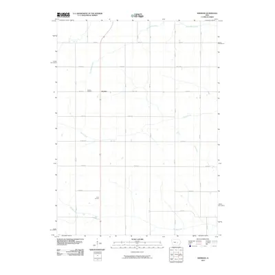
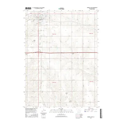
2022 Sheridan
Poweshiek County, IA