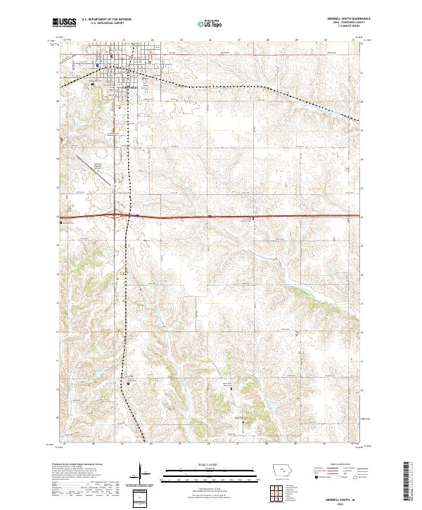
2022 Map of Grinnell South
USGS Topo · Published 2022About this map
Grinnell serves as the focal point for this southern extension into the rolling agricultural lands of Poweshiek County. The landscape is defined by the headwaters and drainage patterns of the N English River, which meanders through the southern half of the quadrangle alongside English Cr and Middle Buck Cr. In the north, the campus of Grinnell College sits at the edge of the urban grid, while Grinnell Regional Airport and several historic cemeteries mark the transition from town to rural acreage.
Find a feature on this map
50 named features on this map. Tap any name to fly to it.
Don’t see what you’re looking for? This feature index may not catch every label — zoom into the map to look around manually.
Map Details
Editions of this 2022 Grinnell South Map
This is the sole edition of this map. No revisions or reprints were ever made.
Other maps of this area

1954 · Des Moines
USGS Topo · 1:250,000

1956 · Des Moines
USGS Topo · 1:250,000

1957 · Des Moines
USGS Topo · 1:250,000

1969 · Des Moines
USGS Topo · 1:250,000

1979 · Montezuma
USGS Topo · 1:24,000

1979 · Searsboro
USGS Topo · 1:24,000

1979 · Grinnell South
USGS Topo · 1:24,000
1979 · Malcom
USGS Topo · 1:24,000

1980 · Newburg
USGS Topo · 1:24,000

1980 · Sully
USGS Topo · 1:24,000