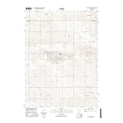
2015 Map of Belle Plaine SW
USGS Topo · Published 2015About this map
Holiday Lake serves as a central geographic feature in this rural section of Iowa, where the border between Tama and Poweshiek counties divides the agricultural landscape. The lake is surrounded by a dense network of local residential roads such as N Lakeshore Dr and Shady Lane Dr, providing a distinct contrast to the sprawling grid of section lines and gravel roads that define the surrounding townships. Several drainages including N Walnut Cr and Stony Cr carve through the terrain, illustrating the natural drainage patterns that have historically shaped local farm boundaries.
Find a feature on this map
39 named features on this map. Tap any name to fly to it.
Don’t see what you’re looking for? This feature index may not catch every label — zoom into the map to look around manually.
Map Details
Editions of this 2015 Belle Plaine SW Map
This is the sole edition of this map. No revisions or reprints were ever made.
Other maps of this area

1954 · Des Moines
USGS Topo · 1:250,000

1956 · Des Moines
USGS Topo · 1:250,000

1957 · Des Moines
USGS Topo · 1:250,000

1968 · Brooklyn
USGS Topo · 1:24,000

1968 · Belle Plaine SW
USGS Topo · 1:24,000

1968 · Victor
USGS Topo · 1:24,000

1968 · Belle Plaine
USGS Topo · 1:24,000

1968 · Chelsea
USGS Topo · 1:24,000

1968 · Hartwick
USGS Topo · 1:24,000

1969 · Des Moines
USGS Topo · 1:250,000