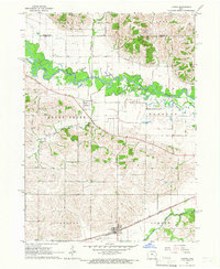
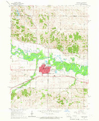
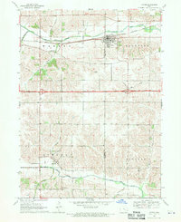
1965 Map of Ladora
USGS Topo · Published 1966About this map
The Iowa River carves a winding path through the northern half of this Iowa County landscape, defining the transition between the rolling uplands of Leroy and Marengo townships. In the mid-1960s, the settlement of Ladora serves as a local hub along the Chicago Rock Island and Pacific railroad, while the smaller community of Koszta sits further north near the river banks. This survey captures a rural mid-century economy dependent on both the rail lines and the small private aviation found at the Hawkins Landing Strip. Genealogists will find significant detail in the placement of rural burial grounds, including Dayton Cem, Sayers Cem, and Koszta Cem, alongside local landmarks like Oak Lawn Ch. The terrain is deeply dissected by numerous tributaries, most notably Big Bear Creek and Honey Creek, which shaped the early agricultural development of Hartford and Sumner townships.
Find a feature on this map
21 named features on this map. Tap any name to fly to it.
Don’t see what you’re looking for? This feature index may not catch every label — zoom into the map to look around manually.
Map Details
Editions of this 1965 Ladora Map
This is the sole edition of this map. No revisions or reprints were ever made.
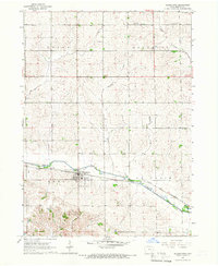
Other maps of this area

1954 · Des Moines
USGS Topo · 1:250,000

1956 · Des Moines
USGS Topo · 1:250,000

1957 · Des Moines
USGS Topo · 1:250,000
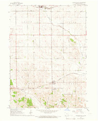
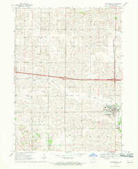
1965 · Keystone South
USGS Topo · 1:24,000
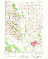
1965 · Marengo
USGS Topo · 1:24,000
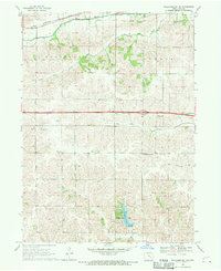
1965 · Blairstown
USGS Topo · 1:24,000
1968 · Williamsburg
USGS Topo · 1:24,000
1968 · Victor
USGS Topo · 1:24,000
1968 · Belle Plaine
USGS Topo · 1:24,000
1968 · Williamsburg NW
USGS Topo · 1:24,000