Old Maps of Bevington, Iowa for Academic Research
Study the evolution of Bevington with 12 high-resolution historic maps. Whether you're teaching, researching, or modeling changes in land use, these maps provide essential visual documentation of urban, environmental, and geographic change.
- Analyze long-term change: Track patterns in development, transportation, and natural features.
- Ideal for environmental or urban studies: Support academic projects with primary historical map data.
- Use in the classroom or lab: Educators and researchers rely on these maps to bring historical context to life.
These maps are a powerful tool for teaching, research, and visualizing how Bevington has changed over the decades.
Bevington, IA maps
(12)- 1951 Map of St. Charles, 1953 Print
 1951 St. Charles1953 Print · USGSMadison and Warren counties are seen here in the early 1950s, when a dense network of rail lines and country schools still knit these rural townships together. Genealogists and local historians can trace family locations near landmarks like Imes Bridge, St Charles Cem, and Blair Chapel.2 unique versions available
 - 1954 Map of Des Moines, 1973 Print
 1954 Des Moines1973 Print · USGSCentral Iowa's evolving landscape is captured here in the early seventies, just as major reservoirs were reshaping the river valleys. Genealogists and historians can trace the rail corridors of the Burlington Northern or locate family roots near Pella, Indianola, and Knoxville.2 unique versions available
 - 1956 Map of Des Moines
 1956 Des Moines1956 Print · USGSCentral Iowa in the mid-fifties shows a landscape defined by bustling rail hubs and deep-rooted agricultural research. Genealogists and researchers can trace the growth of Des Moines and Ames, locate the Sac and Fox Indian Reservation, or study the paths of the Skunk River and South Skunk River.
 - 1957 Map of Des Moines
 1957 Des Moines1957 Print · USGSCentral Iowa's post-war landscape is defined here by the converging rail lines and river valleys that shaped its earliest settlements. Genealogists and historians can trace the paths of the Rock Island Railroad and locate community landmarks in Des Moines, Ames, and Newton.
 - 1969 Map of Des Moines
 1969 Des Moines1969 Print · USGSCentral Iowa's fertile plains and growing capital are captured here during the late sixties, a time of major highway expansion and reservoir construction. Genealogists and researchers can trace rural township boundaries, local cemeteries, and rail lines serving towns like Pella, Grinnell, and Oskaloosa.
 - 1983 Map of St. Charles
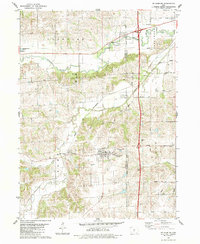 1983 St. Charles1983 Print · USGSMadison County at the start of the 1980s shows a landscape of small river towns and agricultural grids. Genealogists and local historians can trace family roots through numerous rural burial grounds like St Charles Cem and Blair Chapel.
 - 1984 Map of Indianola
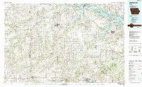 1984 Indianola1984 Print · USGSSouth-central Iowa in the mid-1980s reveals a patchwork of established rail hubs and significant new conservation areas. Trace the Chicago and North Western rail lines and explore rural landmarks like Lake Ahquabi State Park or the Strip Mine near Knoxville.
 - 2010 Map of Saint Charles, 2010 Print
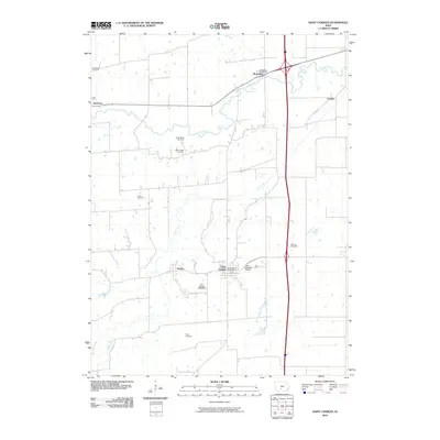 2010 Saint Charles2010 Print · USGSMadison County, Iowa, is shown here in the early twenty-first century, centered on the crossroads of Saint Charles and the winding Middle River. Researchers can locate several burial grounds like Viney Cemetery and historic landmarks such as the Imes Covered Bridge.
 - 2013 Map of Saint Charles, 2013 Print
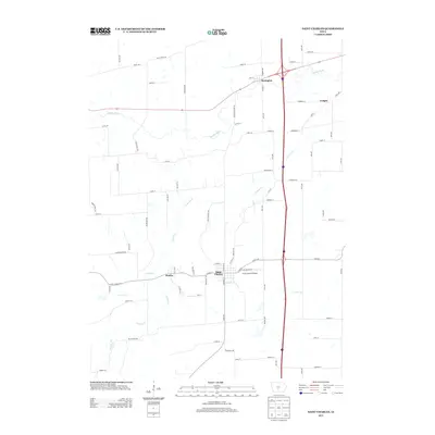 2013 Saint Charles2013 Print · USGSMadison County at the start of the 2010s shows a landscape of quiet rural settlements and historic engineering. Genealogists and local historians can trace family locations near Saint Charles or visit the site of the Imes Covered Bridge and the small siding of Hanley.
 - 2015 Map of Saint Charles, 2015 Print
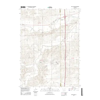 2015 Saint Charles2015 Print · USGSThe rural landscapes of Madison and Warren Counties are mapped here in the mid-2010s, showing a region defined by its winding river valleys and pioneer-era landmarks. Researchers can locate numerous historic burial sites like Blair Chapel Cem and Dillman Cem, or trace the location of the Imes Covered Bridge and the small town of Patterson.
 - 2018 Map of Saint Charles, 2018 Print
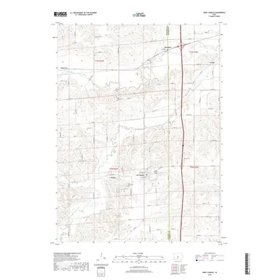 2018 Saint Charles2018 Print · USGSMadison County, Iowa, is captured here in recent years, showing its mix of small-town centers and traditional rural landmarks. Genealogists and historians can trace family roots at Saint Charles Cem or visit the iconic Imes Covered Bridge near St. Charles.
 - 2022 Map of Saint Charles, 2022 Print
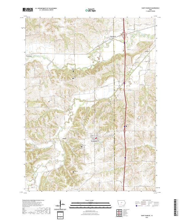 2022 Saint Charles2022 Print · USGSMadison and Warren counties are shown here in the 2020s, centered on the community of St. Charles. Researchers can trace rural lineages through numerous local sites including Saint Charles Cem, Viney Cem, and the crossroads at Hanley.
End of results
Showing maps 1-12 of 12
Top cities near Bevington
- Des Moines historical maps
- West Des Moines historical maps
- Waukee historical maps
- Indianola historical maps
- Norwalk historical maps
- Adel historical maps
See more
Frequently asked questions
- What are the different types of historical maps available for Bevington?
- What is the oldest map of Bevington?
- Where can I purchase historical maps of Bevington for my home or office?
- Where can I download high-res historical maps of Bevington?
- Are there historical topographic maps available for Bevington?
- Is there historical aerial imagery available for Bevington?
- Where are historical maps of Bevington sourced from?