Old Maps of Harrison Township, Iowa for Hiking & Exploration
Hike through history with 31 historic maps of Harrison Township. Explore old trails, ghost towns, and forgotten backroads — perfect for outdoor adventurers and local explorers.
- Rediscover forgotten places: Map out old mining camps, roads, and footpaths that no longer exist on modern maps.
- Layer with modern tools: Combine with LiDAR or satellite views to plan hikes through historical terrain.
- Made for exploration: Popular among hikers, overlanders, and local history lovers.
Use these maps to find adventure and explore the hidden past of Harrison Township.
Harrison Township, IA maps
(31)- 1912 Map of Ames, 1956 Print
 1912 Ames1956 Print · USGSStory and Hamilton counties appear here in the early twentieth century as a thriving network of rail-side towns and rural school districts. Researchers can trace the grounds of Iowa State College or find vanished schoolhouses like Tiernagel School and Hobbs School.3 unique versions available
 - 1914 Map of Ames
 1914 Ames1914 Print · USGSStory County at the start of the twentieth century was a landscape of fertile farmland and burgeoning rail towns like Story City and Ames. Genealogists and researchers can trace the precise locations of dozens of country schoolhouses, including Zenorville School and Espeland School, alongside the grounds of Iowa State College.3 unique versions available
 - 1916 Map of Boone
 1916 Boone1916 Print · USGSBoone and the Des Moines River valley appear here in the decade before the Great War, showing a landscape defined by deep river bluffs and heavy rail traffic. Genealogists can locate dozens of named rural schools such as Incline School and Coal Valley School, or trace the riverside streets of Moingona and Fraser.3 unique versions available
 - 1954 Map of Waterloo, 1968 Print
 1954 Waterloo1968 Print · USGSCentral Iowa at the height of its mid-century agricultural and rail boom features the growing hubs of Waterloo and Cedar Falls. Genealogists and researchers can trace the rail corridors of the Chicago Great Western and find local landmarks like Iowa State College and Brushy Ridge.4 unique versions available
 - 1955 Map of Waterloo
 1955 Waterloo1955 Print · USGSCentral Iowa in the mid-fifties presents a dense landscape of rail-connected farming towns and growing river cities. Researchers can trace ancestral roots and old transport routes through Waterloo, Marshalltown, and Ames, while locating rural Cemeteries and local Quarries.2 unique versions available
 - 1965 Map of Mackey, 1966 Print
 1965 Mackey1966 Print · USGSBoone and Hamilton counties are shown in the mid-1960s as a landscape of rural schoolhouses and family burial grounds. Researchers can trace local lineage at South Marion Cem and Leininger Cem or locate the old St Paul Sch and Mackey.
 - 1965 Map of Boone East, 1966 Print
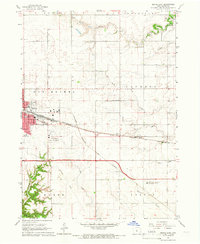 1965 Boone East1966 Print · USGSBoone and its surrounding townships show a robust rail and agricultural network in the mid-sixties. Genealogists and local historians can trace the paths of the Chicago and North Western or locate the Squire Boone Cem and Lowell Sch.2 unique versions available
 - 1975 Map of Ames NW, 1978 Print
 1975 Ames NW1978 Print · USGSThe intersection of Hamilton and Story counties is captured here in the mid-seventies, showing a landscape of fertile township sections and stream valleys. Genealogists can trace family heritage at SS Peter & Paul Cem or Center Cem, and locate the old Chicago and North Western rail line.
 - 1975 Map of Ames West, 1978 Print
 1975 Ames West1978 Print · USGSThe western edges of Ames and the Iowa State University campus are captured here in the mid-seventies, showing the city's expansion toward Ontario. Researchers can trace old school sites like Sawyer Sch, the College Cem, and the path of the Chicago and North Western railroad.2 unique versions available
 - 1985 Map of Ames
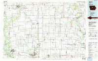 1985 Ames1985 Print · USGSCentral Iowa's prairie landscape in the mid-eighties shows a well-established network of rail towns and conservation areas. Genealogists and historians can trace the paths of the Lincoln Highway and the Chicago and North Western line connecting Ames, Boone, and Webster City.
 - 1993 Map of Ames
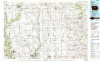 1993 Ames1993 Print · USGSCentral Iowa in the early nineties shows a landscape of river-fed parklands and growing academic centers. Genealogists and researchers can trace local church sites like Sts Peter and Paul Ch or navigate the corridors of the Chicago and North Western through towns like Hubbard and Stanhope.
 - 2010 Map of Boone East, 2010 Print
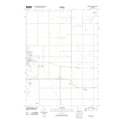 2010 Boone East2010 Print · USGSThe eastern edges of Boone and the surrounding prairie come into focus in the early twenty-first century, showing the town's expansion toward the agrarian landscape. Genealogists can locate family landmarks like the Mitchell Cemetery, Squire Boone Cemetery, and the small settlement of Jordan.
 - 2010 Map of Ames NW, 2010 Print
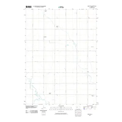 2010 Ames NW2010 Print · USGSClear Lake Township and the surrounding rural countryside are captured here in the early twenty-first century. Genealogists can locate several family and community burial sites, such as Center Cemetery and Saints Peter and Paul Cemetery, or trace the local Rosendale settlement.
 - 2010 Map of Ames West, 2010 Print
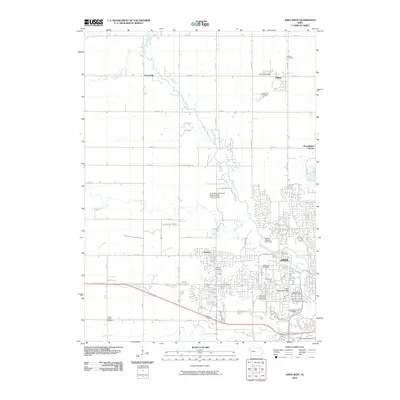 2010 Ames West2010 Print · USGSWestern Story County and the sprawling campus of Iowa State University are captured here at the start of the 2010s. Researchers can trace the legacy of local settlements at Ontario, locate the Gilbert Post Office, and find family history at Olive Branch Cemetery.
 - 2010 Map of Mackey, 2010 Print
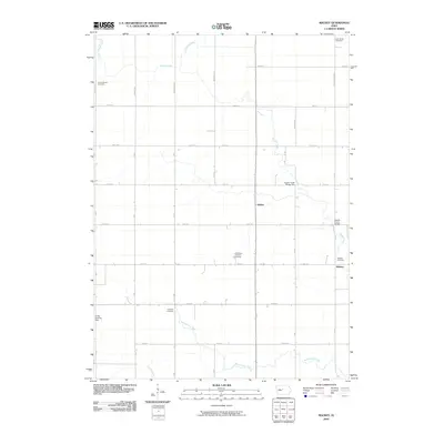 2010 Mackey2010 Print · USGSDodge Township in Boone County is shown here at the turn of the millennium as a landscape of grid-aligned farms and quiet rural hamlets. Family historians can locate several local burial sites including Lake Center Cemetery and the South Marion Cemetery.
 - 2013 Map of Mackey, 2013 Print
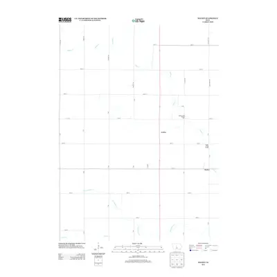 2013 Mackey2013 Print · USGSDodge Township in Boone County is shown here in the early 2010s, a period defined by its structured agricultural grid and quiet settlements. Genealogists and local historians can trace the roads and waterways around Mackey, Griffen, and the distinct crossings at Squaw Creek Bridge.
 - 2013 Map of Ames NW, 2013 Print
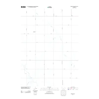 2013 Ames NW2013 Print · USGSThe rural stretches of Story and Hamilton County appear here in the early twenty-first century as a landscape of grid-roads and prairie streams. Genealogists and local historians can trace the environs of Rosedale and the courses of Keigley Br and Squaw Cr.
 - 2013 Map of Boone East, 2013 Print
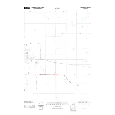 2013 Boone East2013 Print · USGSThe rural outskirts of Boone come into focus in the early 2010s, showing a well-developed network of section roads and small creek drainages. Genealogists and local historians can locate the settlements of Jordan and Ericson or explore the grounds of the Iowa State University Agronomy Farm.
 - 2013 Map of Ames West, 2013 Print
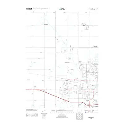 2013 Ames West2013 Print · USGSStory County shows its transition from agricultural roots to a modern academic hub in this early twenty-first-century survey. Trace the local layout of Gilbert and Ontario, or find landmarks like Reiman Gardens and the Iowa State University Arboretum.
 - 2015 Map of Ames NW, 2015 Print
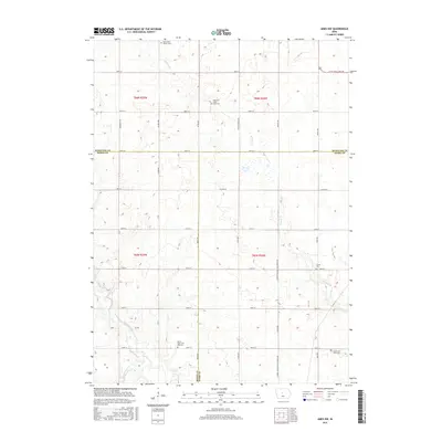 2015 Ames NW2015 Print · USGSThe intersection of Hamilton, Boone, and Story counties is captured here in the mid-2010s. Genealogists and local historians can trace legacy sites like Ellsworth Clear Lake Cem, Saint Paul's Church, and the winding Keigley Br.
 - 2015 Map of Boone East, 2015 Print
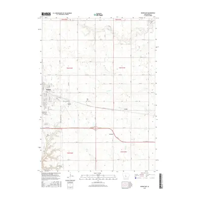 2015 Boone East2015 Print · USGSThe eastern expansion of Boone and the surrounding rural townships are captured here in the mid-2010s. Genealogists and local historians can locate several family burial sites like Sarah Dinwoodie Cem and trace the small communities of Jordan and Ericson.
 - 2015 Map of Mackey, 2015 Print
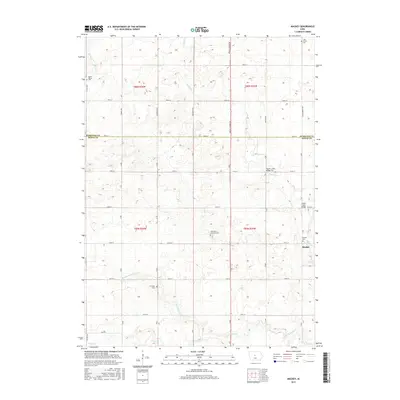 2015 Mackey2015 Print · USGSDodge Township and the surrounding Boone County farmland are shown here in the mid-2010s. Genealogists can trace local family history through numerous burial sites like Saint Paul's Lutheran Cem, Leininger Cem, and the settlement of Mackey.
 - 2015 Map of Ames West, 2015 Print
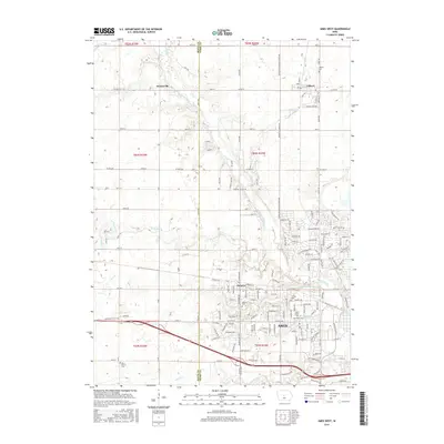 2015 Ames West2015 Print · USGSThe western edge of Ames and the expansive Iowa State University campus are captured here during a period of significant regional growth. Genealogists and local historians can locate several burial sites including Ontario Cemetery and Olive Branch Cemetery, or trace the rural landscapes around Gilbert and Zenorsville.
 - 2018 Map of Ames NW, 2018 Print
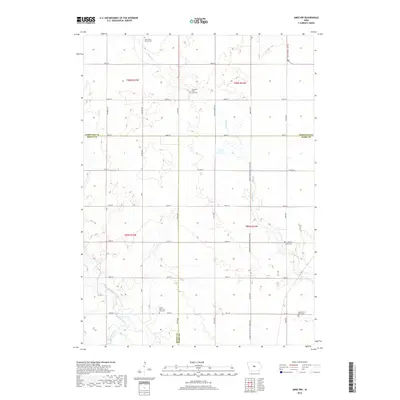 2018 Ames NW2018 Print · USGSThe intersection of Hamilton, Boone, and Story counties comes into focus in this late-decade survey of Iowa's agricultural heartland. Researchers can trace ancestral roots at several rural burial grounds, including the Center Cem and South Saint Petri Cem.
 - 2018 Map of Ames West, 2018 Print
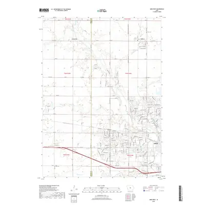 2018 Ames West2018 Print · USGSThe western outskirts of Ames and the rural townships of Boone and Story counties are captured here in the late 2010s. Researchers can locate the historical footprints of Zenorsville and Ontario or trace family sites at Branch Cem and Gilbert Cem.
Showing maps 1-25 of 31
Top cities near Harrison Township
- Ames historical maps
- Boone historical maps
- Story City historical maps
- Jewell historical maps
- Jewell Junction historical maps
- Gilbert historical maps
See more
Top neighborhoods of Harrison Township
Frequently asked questions
- What are the different types of historical maps available for Harrison Township?
- What is the oldest map of Harrison Township?
- Where can I purchase historical maps of Harrison Township for my home or office?
- Where can I download high-res historical maps of Harrison Township?
- Are there historical topographic maps available for Harrison Township?
- Is there historical aerial imagery available for Harrison Township?
- Where are historical maps of Harrison Township sourced from?