Old Maps of Worth Township, Iowa for Genealogy
Trace your family roots with 36 historic maps of Worth Township. These high-res maps reveal old neighborhoods, homesites, landmarks, and streets — helping you uncover where your ancestors lived and how the area evolved over time.
- Explore historic neighborhoods: Identify where your relatives may have lived in the 1800s or 1900s.
- Compare maps over time: Trace the changes in streets, buildings, and landmarks for multi-generational research.
- Perfect for genealogy & ancestry research: Used by family historians and researchers to map out lineage and migration.
These maps are an incredible resource for exploring your personal connection to Worth Township's past.
Worth Township, IA maps
(36)- 1911 Map of Madrid, 1958 Print
 1911 Madrid1958 Print · USGSBoone and Dallas counties appear here in the early twentieth century as a busy corridor of river-valley agriculture and rail transit. Researchers can trace dozens of early rural school sites like Hull School and Gildea School alongside the path of the Inter-Urban Railway.
 - 1914 Map of Madrid
 1914 Madrid1914 Print · USGSCentral Iowa's river valleys and prairie townships come alive in the decade before the Great War, showing a landscape defined by rail lines and rural schoolhouses. Genealogists and historians can trace family roots through specific landmarks like Madrid, Woodward, and the Marcy Center School.3 unique versions available
 - 1916 Map of Boone
 1916 Boone1916 Print · USGSBoone and the Des Moines River valley appear here in the decade before the Great War, showing a landscape defined by deep river bluffs and heavy rail traffic. Genealogists can locate dozens of named rural schools such as Incline School and Coal Valley School, or trace the riverside streets of Moingona and Fraser.3 unique versions available
 - 1954 Map of Waterloo, 1968 Print
 1954 Waterloo1968 Print · USGSCentral Iowa at the height of its mid-century agricultural and rail boom features the growing hubs of Waterloo and Cedar Falls. Genealogists and researchers can trace the rail corridors of the Chicago Great Western and find local landmarks like Iowa State College and Brushy Ridge.4 unique versions available
 - 1954 Map of Des Moines, 1973 Print
 1954 Des Moines1973 Print · USGSCentral Iowa's evolving landscape is captured here in the early seventies, just as major reservoirs were reshaping the river valleys. Genealogists and historians can trace the rail corridors of the Burlington Northern or locate family roots near Pella, Indianola, and Knoxville.2 unique versions available
 - 1955 Map of Waterloo
 1955 Waterloo1955 Print · USGSCentral Iowa in the mid-fifties presents a dense landscape of rail-connected farming towns and growing river cities. Researchers can trace ancestral roots and old transport routes through Waterloo, Marshalltown, and Ames, while locating rural Cemeteries and local Quarries.2 unique versions available
 - 1956 Map of Des Moines
 1956 Des Moines1956 Print · USGSCentral Iowa in the mid-fifties shows a landscape defined by bustling rail hubs and deep-rooted agricultural research. Genealogists and researchers can trace the growth of Des Moines and Ames, locate the Sac and Fox Indian Reservation, or study the paths of the Skunk River and South Skunk River.
 - 1957 Map of Des Moines
 1957 Des Moines1957 Print · USGSCentral Iowa's post-war landscape is defined here by the converging rail lines and river valleys that shaped its earliest settlements. Genealogists and historians can trace the paths of the Rock Island Railroad and locate community landmarks in Des Moines, Ames, and Newton.
 - 1965 Map of Boone East, 1966 Print
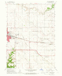 1965 Boone East1966 Print · USGSBoone and its surrounding townships show a robust rail and agricultural network in the mid-sixties. Genealogists and local historians can trace the paths of the Chicago and North Western or locate the Squire Boone Cem and Lowell Sch.2 unique versions available
 - 1965 Map of Boone West, 1966 Print
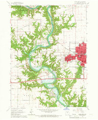 1965 Boone West1966 Print · USGSThe Des Moines River valley in the mid-1960s shows a landscape of deep ravines, active mining, and new water management. Trace local history through Moingona, Battin Chapel, and the vanished Mine Dump sites near Logansport.2 unique versions available
 - 1965 Map of Madrid NW, 1967 Print
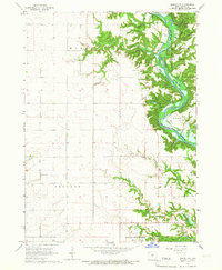 1965 Madrid NW1967 Print · USGSBoone County river life is captured here in the mid-sixties, just as the valley prepared for the waters of the Saylorville Reservoir. Genealogists and hikers can trace old landmarks like Peoples Cem, the Hubby Bridge, and the ridges of Ledges State Park.2 unique versions available
 - 1965 Map of Luther, 1967 Print
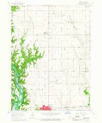 1965 Luther1967 Print · USGSMid-century Boone County is captured here during a period of agricultural expansion and new water management projects. Genealogists and local historians can trace rural roots through landmarks like Garden Prairie Ch and the many family plots at Dalander Cem or Fairview Cem.2 unique versions available
 - 1969 Map of Des Moines
 1969 Des Moines1969 Print · USGSCentral Iowa's fertile plains and growing capital are captured here during the late sixties, a time of major highway expansion and reservoir construction. Genealogists and researchers can trace rural township boundaries, local cemeteries, and rail lines serving towns like Pella, Grinnell, and Oskaloosa.
 - 1984 Map of Des Moines, 1985 Print
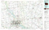 1984 Des Moines1985 Print · USGSCentral Iowa's heartland is captured in the mid-1980s as suburban growth met long-standing farm and rail infrastructure. Genealogists and researchers can trace the reaches of the Chicago and North Western through Maxwell or locate Laurel Hill Cem and Camp Dodge Military Reservation.2 unique versions available
 - 1985 Map of Ames
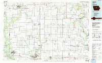 1985 Ames1985 Print · USGSCentral Iowa's prairie landscape in the mid-eighties shows a well-established network of rail towns and conservation areas. Genealogists and historians can trace the paths of the Lincoln Highway and the Chicago and North Western line connecting Ames, Boone, and Webster City.
 - 1993 Map of Ames
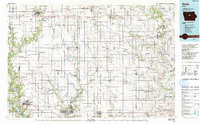 1993 Ames1993 Print · USGSCentral Iowa in the early nineties shows a landscape of river-fed parklands and growing academic centers. Genealogists and researchers can trace local church sites like Sts Peter and Paul Ch or navigate the corridors of the Chicago and North Western through towns like Hubbard and Stanhope.
 - 2010 Map of Madrid NW, 2010 Print
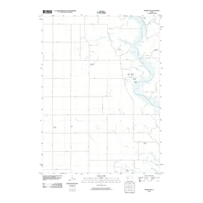 2010 Madrid NW2010 Print · USGSNear the Des Moines River in the early twenty-first century, this area of Woodward features a landscape of wooded river bluffs and rural farmsteads. Genealogists can locate several burial sites including the State Hospital Cemetery and Peoples Cemetery, or trace local terrain near Frankel Ridge.
 - 2010 Map of Luther, 2010 Print
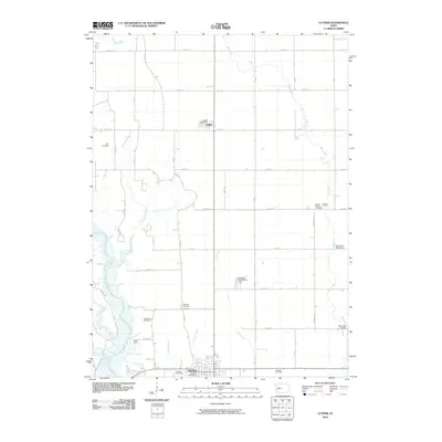 2010 Luther2010 Print · USGSCentral Iowa's agricultural heartland is documented here during the first decade of the 21st century. Genealogists can trace family roots through numerous local sites including Hull, Fairview, and the Cassel burial grounds near Madrid.
 - 2010 Map of Boone West, 2010 Print
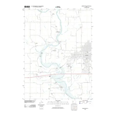 2010 Boone West2010 Print · USGSBoone and the Des Moines River valley appear here in the early twenty-first century, showing a mix of urban growth and quiet river settlements. Researchers can trace historic family locations at Linwood Park Cemetery or explore the sites of Centerville and Moingona.
 - 2010 Map of Boone East, 2010 Print
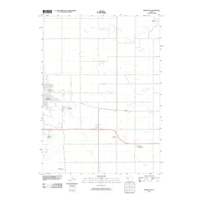 2010 Boone East2010 Print · USGSThe eastern edges of Boone and the surrounding prairie come into focus in the early twenty-first century, showing the town's expansion toward the agrarian landscape. Genealogists can locate family landmarks like the Mitchell Cemetery, Squire Boone Cemetery, and the small settlement of Jordan.
 - 2013 Map of Luther, 2013 Print
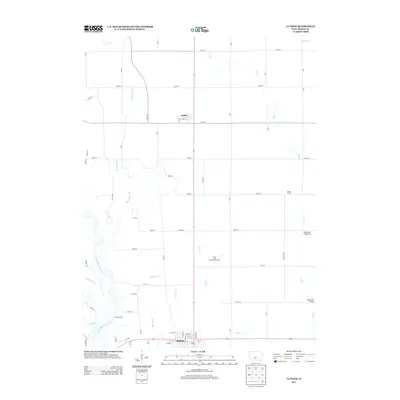 2013 Luther2013 Print · USGSBoone County's agricultural heartland is documented here in the early twenty-first century, spanning the terrain from Luther to north Madrid. Researchers can trace local landmarks such as the Iowa State Experimental Farm, Camp Laurie, and several crossings over Big Cr.
 - 2013 Map of Boone East, 2013 Print
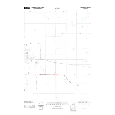 2013 Boone East2013 Print · USGSThe rural outskirts of Boone come into focus in the early 2010s, showing a well-developed network of section roads and small creek drainages. Genealogists and local historians can locate the settlements of Jordan and Ericson or explore the grounds of the Iowa State University Agronomy Farm.
 - 2013 Map of Madrid NW, 2013 Print
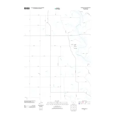 2013 Madrid NW2013 Print · USGSThe Des Moines River valley in central Iowa appears here as it was in the early 21st century, showing the intersection of high-country ridges and river-bottom timber. Researchers can trace the boundaries of Ledges State Park and locate historic rural points like Jehu and Prairie Hill.
 - 2013 Map of Boone West, 2013 Print
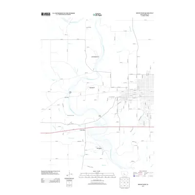 2013 Boone West2013 Print · USGSThe Des Moines River valley in central Iowa is shown here in the early 2000s, where river crossings and hillside settlements define the landscape. Researchers can trace the layout of Centerville, Logansport, and the historic mining area of Coal Valley.
 - 2015 Map of Boone West, 2015 Print
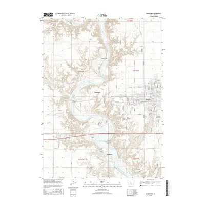 2015 Boone West2015 Print · USGSThe Des Moines River valley in the mid-2010s reveals a landscape shaped by river crossings and small riverside communities. Researchers can trace the heritage of the region through landmarks like the Milton Lott Grave, Boone Bridge, and the Sacred Heart Cem.
Showing maps 1-25 of 36
Top cities near Worth Township
- Ankeny historical maps
- Ames historical maps
- Boone historical maps
- Perry historical maps
- Polk City historical maps
- Madrid historical maps
See more
Frequently asked questions
- What are the different types of historical maps available for Worth Township?
- What is the oldest map of Worth Township?
- Where can I purchase historical maps of Worth Township for my home or office?
- Where can I download high-res historical maps of Worth Township?
- Are there historical topographic maps available for Worth Township?
- Is there historical aerial imagery available for Worth Township?
- Where are historical maps of Worth Township sourced from?