Old Maps of New Hartford, Iowa for Hiking & Exploration
Hike through history with 15 historic maps of New Hartford. Explore old trails, ghost towns, and forgotten backroads — perfect for outdoor adventurers and local explorers.
- Rediscover forgotten places: Map out old mining camps, roads, and footpaths that no longer exist on modern maps.
- Layer with modern tools: Combine with LiDAR or satellite views to plan hikes through historical terrain.
- Made for exploration: Popular among hikers, overlanders, and local history lovers.
Use these maps to find adventure and explore the hidden past of New Hartford.
New Hartford, IA maps
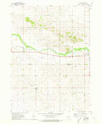
(15)- 1954 Map of Waterloo, 1968 Print
 1954 Waterloo1968 Print · USGSCentral Iowa at the height of its mid-century agricultural and rail boom features the growing hubs of Waterloo and Cedar Falls. Genealogists and researchers can trace the rail corridors of the Chicago Great Western and find local landmarks like Iowa State College and Brushy Ridge.4 unique versions available
 - 1955 Map of Waterloo
 1955 Waterloo1955 Print · USGSCentral Iowa in the mid-fifties presents a dense landscape of rail-connected farming towns and growing river cities. Researchers can trace ancestral roots and old transport routes through Waterloo, Marshalltown, and Ames, while locating rural Cemeteries and local Quarries.2 unique versions available
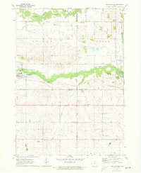
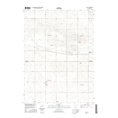
 - 1971 Map of Stout, 1973 Print
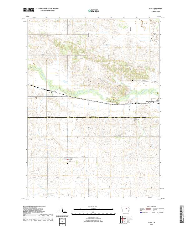
 1971 Stout1973 Print · USGSButler and Grundy Counties appear here in the early 1970s as a landscape shaped by competing railroads and winding prairie waterways. Genealogists and local historians can trace family ties at Beaver Grove Cem and follow the routes of the Illinois Central through Stout and New Hartford.
 - 1971 Map of New Hartford, 1973 Print
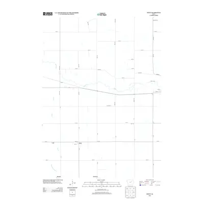
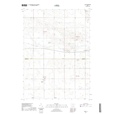
 1971 New Hartford1973 Print · USGSThe Butler and Black Hawk county lines meet near New Hartford during the early seventies, showcasing a classic Iowa landscape of rail-fed towns and river bottoms. Genealogists can locate several local burial sites like Hillcrest Cem and Fairfield Cem along the farm roads.
 - 1984 Map of Waverly, 1985 Print
 1984 Waverly1985 Print · USGSNortheast Iowa in the mid-eighties shows a robust network of river towns and rail corridors connecting agricultural centers. Researchers can trace family sites near Garden of Memories Cem or follow the Chicago and North Western line through Janesville and Waverly.2 unique versions available
 - 2010 Map of New Hartford, 2010 Print
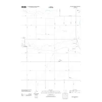
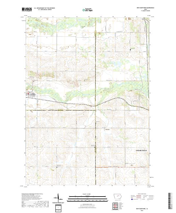
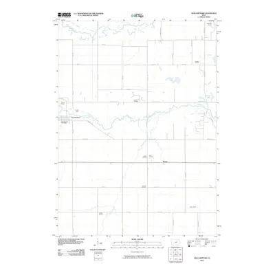 2010 New Hartford2010 Print · USGSCovers New Hartford, including Cedar Falls, Benson, and other nearby areas
 - 2010 Map of Stout, 2010 Print
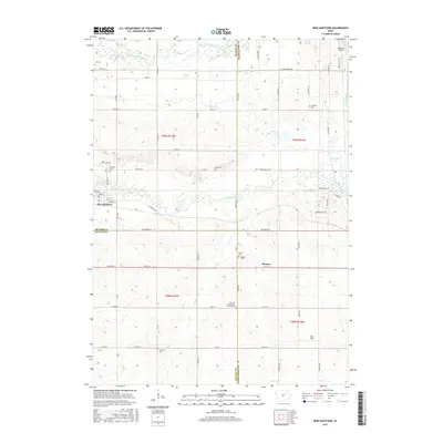
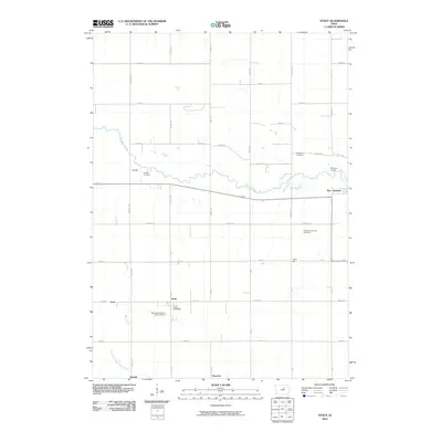 2010 Stout2010 Print · USGSCovers New Hartford, including Stout, Butler County, and other nearby areas
 - 2013 Map of Stout, 2013 Print
 2013 Stout2013 Print · USGSCovers New Hartford, including Stout, Butler County, and other nearby areas
 - 2013 Map of New Hartford, 2013 Print
 2013 New Hartford2013 Print · USGSCovers New Hartford, including Cedar Falls, Benson, and other nearby areas
 - 2015 Map of Stout, 2015 Print
 2015 Stout2015 Print · USGSCovers New Hartford, including Stout, Butler County, and other nearby areas
 - 2015 Map of New Hartford, 2015 Print
 2015 New Hartford2015 Print · USGSCovers New Hartford, including Cedar Falls, Benson, and other nearby areas
 - 2018 Map of Stout, 2018 Print
 2018 Stout2018 Print · USGSCovers New Hartford, including Stout, Butler County, and other nearby areas
 - 2018 Map of New Hartford, 2018 Print
 2018 New Hartford2018 Print · USGSCovers New Hartford, including Cedar Falls, Benson, and other nearby areas
 - 2022 Map of New Hartford, 2022 Print
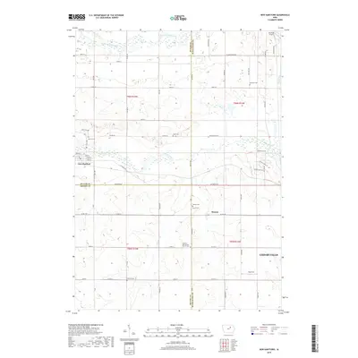
 2022 New Hartford2022 Print · USGSThe rural borderlands of Butler and Black Hawk counties come into focus in the early 2020s, showing a landscape shaped by the Beaver Creek and West Fork Cedar River. Genealogists can locate numerous pioneer burial sites such as Oak Hill Cem and the Black Hawk County Cem.
 - 2022 Map of Stout, 2022 Print
 2022 Stout2022 Print · USGSThe rural border of Butler and Grundy Counties comes into focus in this contemporary survey, showing the agrarian landscape surrounding Stout and New Hartford. Researchers can locate historic family burial sites like Codner Cem and Fairfield Township Cem along the region's tributary creeks.
End of results
Showing maps 1-15 of 15
Top cities near New Hartford
- Waterloo historical maps
- Cedar Falls historical maps
- Waverly historical maps
- Grundy Center historical maps
- Hudson historical maps
- Parkersburg historical maps
See more
Frequently asked questions
- What are the different types of historical maps available for New Hartford?
- What is the oldest map of New Hartford?
- Where can I purchase historical maps of New Hartford for my home or office?
- Where can I download high-res historical maps of New Hartford?
- Are there historical topographic maps available for New Hartford?
- Is there historical aerial imagery available for New Hartford?
- Where are historical maps of New Hartford sourced from?