Old Maps of Grundy Center, Iowa
Explore 15 old maps of Grundy Center, spanning from 1954 to today. These high-resolution historic maps reveal how streets, neighborhoods, landmarks, and natural features evolved over time — perfect for genealogy, metal detecting, research, and local history exploration.
What you can do with these maps:
- See how Grundy Center changed over time: Compare historical maps to modern-day views to trace roads, homesites, rail lines & more.
- View detailed metadata: Each map includes creators, publishers, year, scale, and archive source.
- Overlay maps with satellite & LiDAR: Visualize the past alongside modern tools to explore terrain & human change.
- Trusted historical sources: Maps sourced from the USGS, Library of Congress, and other archives.
- Access maps your way: View online, download high-res files, or order prints for personal or research use.
Start exploring old maps of Grundy Center to uncover forgotten places, hidden landmarks, and the deep history beneath your feet.
Grundy Center, IA maps
(15)- 1954 Map of Waterloo, 1968 Print
 1954 Waterloo1968 Print · USGSCentral Iowa at the height of its mid-century agricultural and rail boom features the growing hubs of Waterloo and Cedar Falls. Genealogists and researchers can trace the rail corridors of the Chicago Great Western and find local landmarks like Iowa State College and Brushy Ridge.4 unique versions available
 - 1955 Map of Waterloo
 1955 Waterloo1955 Print · USGSCentral Iowa in the mid-fifties presents a dense landscape of rail-connected farming towns and growing river cities. Researchers can trace ancestral roots and old transport routes through Waterloo, Marshalltown, and Ames, while locating rural Cemeteries and local Quarries.2 unique versions available
 - 1979 Map of Grundy Center, 1980 Print
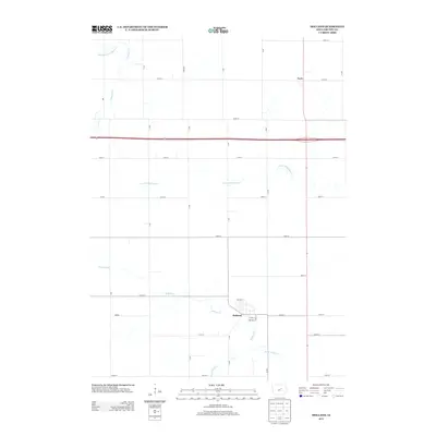
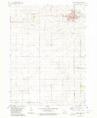 1979 Grundy Center1980 Print · USGSIn the late 1970s, this central Iowa landscape centers on the bustling county seat and its surrounding farm townships. Genealogists and historians can trace the Chicago and North Western rail corridor or locate family sites near Township Cem and Black Hawk Creek.
 - 1979 Map of Holland, 1980 Print
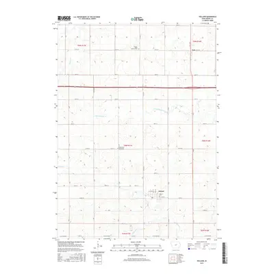
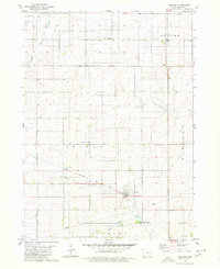 1979 Holland1980 Print · USGSGrundy County, Iowa, is captured here in the late seventies, showing a classic Midwestern landscape of structured townships and rail-oriented settlements. Genealogists and local historians can locate community centers like Colfax Center Ch, the town of Holland, and the Chicago Rock Island and Pacific rail line.
 - 1984 Map of Marshalltown, 1985 Print
 1984 Marshalltown1985 Print · USGSMid-Iowa's agricultural landscape and river corridors come alive in the mid-eighties as the Cedar River connects industrial hubs and small farm towns. Trace the tracks of the CHICAGO AND NORTHWESTERN or locate local landmarks like Union Grove State Park and Cedar Falls Junction.2 unique versions available
 - 2010 Map of Grundy Center, 2010 Print
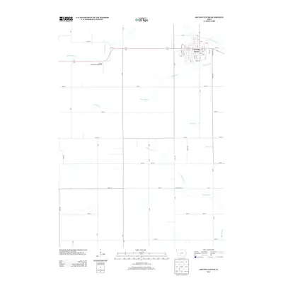
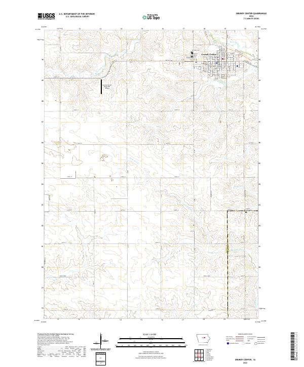
 2010 Grundy Center2010 Print · USGSCovers Grundy Center, including Tama County, Grundy County, and other nearby areas
 - 2010 Map of Holland, 2010 Print
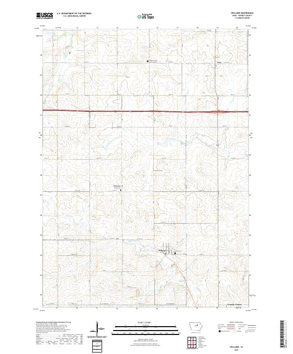
 2010 Holland2010 Print · USGSCovers Grundy Center, including Holland, Fern, and other nearby areas
 - 2013 Map of Holland, 2013 Print
 2013 Holland2013 Print · USGSCovers Grundy Center, including Holland, Fern, and other nearby areas
 - 2013 Map of Grundy Center, 2013 Print
 2013 Grundy Center2013 Print · USGSCovers Grundy Center, including Tama County, Grundy County, and other nearby areas
 - 2015 Map of Grundy Center, 2015 Print
 2015 Grundy Center2015 Print · USGSCovers Grundy Center, including Tama County, Grundy County, and other nearby areas
 - 2015 Map of Holland, 2015 Print
 2015 Holland2015 Print · USGSCovers Grundy Center, including Holland, Fern, and other nearby areas
 - 2018 Map of Holland, 2018 Print
 2018 Holland2018 Print · USGSCovers Grundy Center, including Holland, Fern, and other nearby areas
 - 2018 Map of Grundy Center, 2018 Print
 2018 Grundy Center2018 Print · USGSCovers Grundy Center, including Tama County, Grundy County, and other nearby areas
 - 2022 Map of Grundy Center, 2022 Print
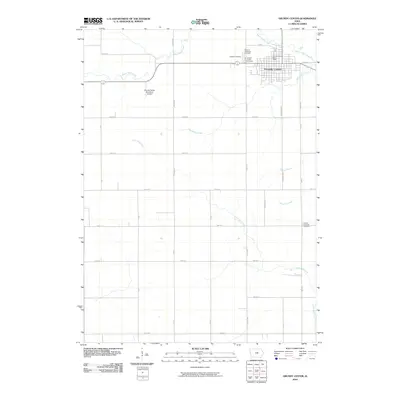
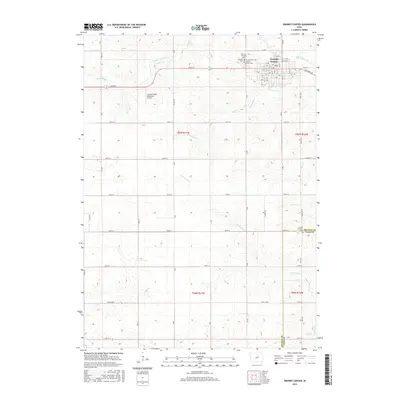
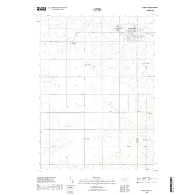
 2022 Grundy Center2022 Print · USGSGrundy Center and the surrounding agricultural townships are documented here during the early twenty-first century. Genealogists and local researchers can locate burial sites at Sacred Heart Cem and Rosehill Cem or trace the course of Black Hawk Cr.
 - 2022 Map of Holland, 2022 Print
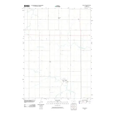
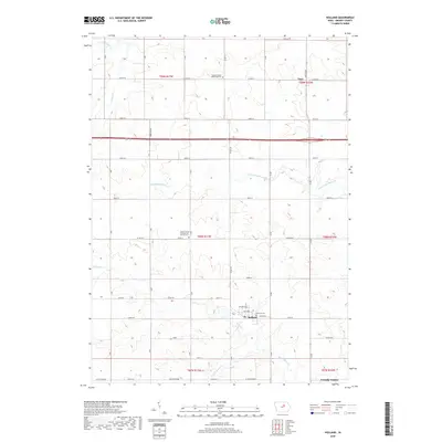
 2022 Holland2022 Print · USGSThe rural prairie of Grundy County is captured here in the early twenty-first century, showing the enduring grid of Iowa's farmland. Researchers can locate family heritage sites at the Colfax Center Presbyterian Church Cem, Holland Cem, or the small settlement of Fern.
End of results
Showing maps 1-15 of 15
Top cities near Grundy Center
- Parkersburg historical maps
- Reinbeck historical maps
- Dike historical maps
- Aplington historical maps
- Conrad historical maps
- Gladbrook historical maps
See more
Frequently asked questions
- What are the different types of historical maps available for Grundy Center?
- What is the oldest map of Grundy Center?
- Where can I purchase historical maps of Grundy Center for my home or office?
- Where can I download high-res historical maps of Grundy Center?
- Are there historical topographic maps available for Grundy Center?
- Is there historical aerial imagery available for Grundy Center?
- Where are historical maps of Grundy Center sourced from?