Old Maps of Carroll, Iowa for Genealogy
Trace your family roots with 17 historic maps of Carroll. These high-res maps reveal old neighborhoods, homesites, landmarks, and streets — helping you uncover where your ancestors lived and how the area evolved over time.
- Explore historic neighborhoods: Identify where your relatives may have lived in the 1800s or 1900s.
- Compare maps over time: Trace the changes in streets, buildings, and landmarks for multi-generational research.
- Perfect for genealogy & ancestry research: Used by family historians and researchers to map out lineage and migration.
These maps are an incredible resource for exploring your personal connection to Carroll's past.
Carroll, IA maps
(17)- 1954 Map of Fort Dodge, 1968 Print
 1954 Fort Dodge1968 Print · USGSNorthwest Iowa is shown here during a period of steady industrial and rail activity in the mid-fifties. Researchers can trace the extensive rail lines connecting Fort Dodge to mining and manufacturing sites like Gypsum and Industry Station.3 unique versions available
 - 1957 Map of Fort Dodge
 1957 Fort Dodge1957 Print · USGSWest-central Iowa thrived as a network of rail-linked agricultural hubs and river towns during the mid-fifties. Researchers can trace the development of the Des Moines River valley and locate historic landmarks in Fort Dodge, Storm Lake, and Lehigh.
 - 1958 Map of Fort Dodge
 1958 Fort Dodge1958 Print · USGSWestern Iowa in the mid-1950s reveals a productive landscape of river-valley industry and prairie agricultural hubs. Researchers can trace the development of the Des Moines River corridor through Fort Dodge and locate vanished local landmarks near Coalville or Storm Lake.
 - 1980 Map of Carroll West
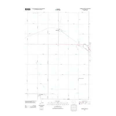
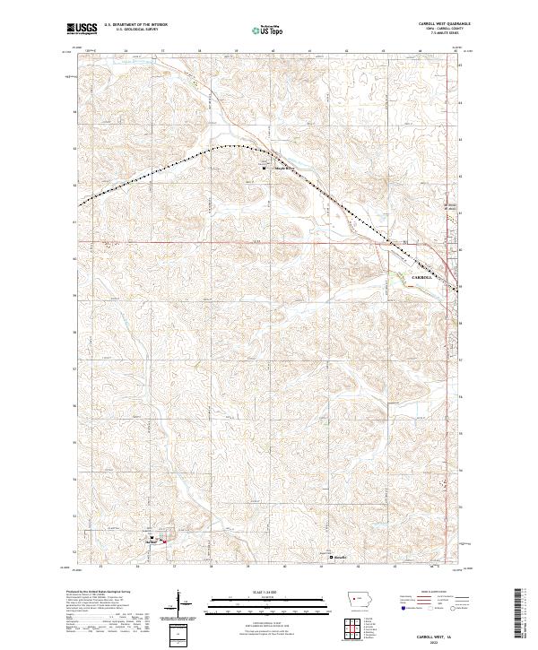
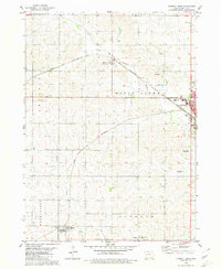 1980 Carroll West1980 Print · USGSWestern Carroll County in the late seventies is shown as a thriving agricultural hub at the height of its rail-and-road development. Genealogists and researchers can locate family burial sites at St Augustine Cem and Holy Angels Cem or trace the early paths of Halbur and Maple River.
 - 1980 Map of Carroll East
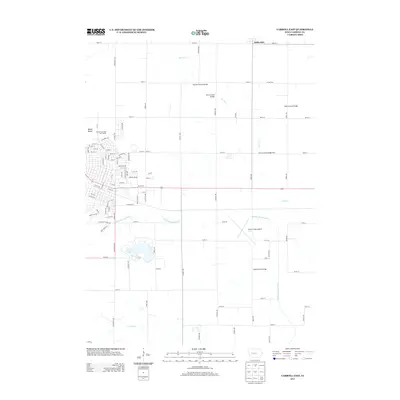
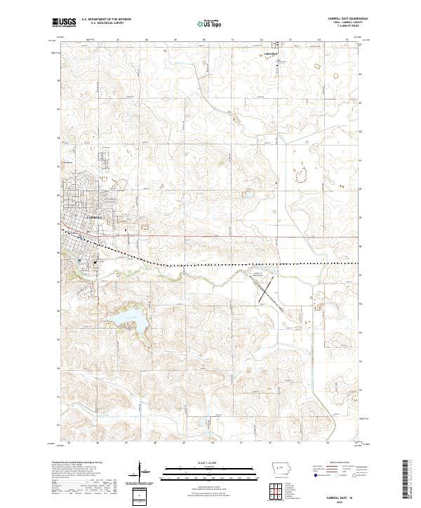
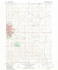 1980 Carroll East1980 Print · USGSThe eastern half of Carroll and the village of Lidderdale are captured here during a period of steady growth in the 1980s. Researchers can locate specific community sites like Kuemper High Sch, the ARTHUR N NEU AIRPORT, and the wooded shoreline of SWAN LAKE STATE PARK.
 - 1985 Map of Carroll
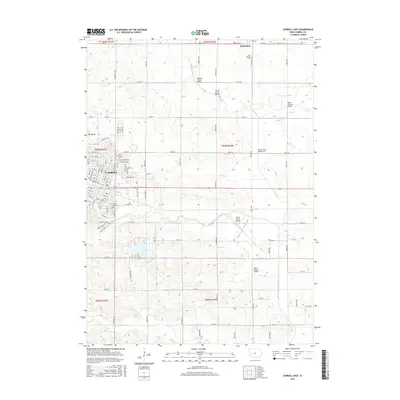
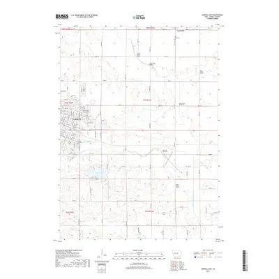
 1985 Carroll1985 Print · USGSWest-Central Iowa in the mid-eighties shows a landscape of highly engineered farmland and river-valley conservation. Researchers can trace the drainage patterns of Purgatory Creek or locate local landmarks like Dolliver Memorial State Park and the rail-junction town of Gowrie.
 - 1993 Map of Carroll
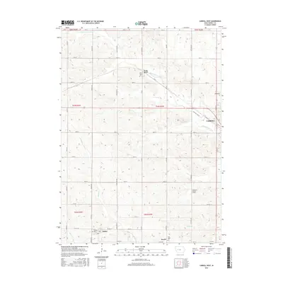
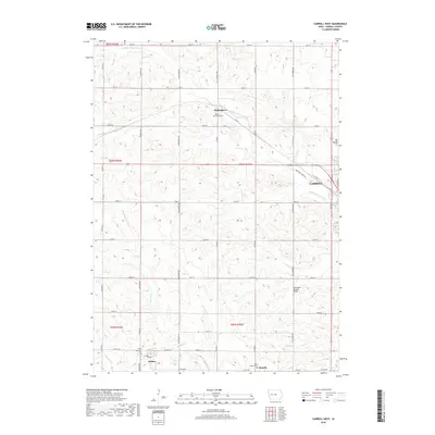
 1993 Carroll1993 Print · USGSCentral Iowa's river valleys and rail corridors are captured here in the early nineties, showing a landscape shaped by the Raccoon River and Des Moines River. Genealogists can trace family connections to the many county seats, from Sac City to Jefferson, and locate rural landmarks like Pilot Mound or North Twin Lake.
 - 2010 Map of Carroll West, 2010 Print
 2010 Carroll West2010 Print · USGSCovers Carroll, including Halbur, Roselle, and other nearby areas
 - 2010 Map of Carroll East, 2010 Print
 2010 Carroll East2010 Print · USGSCovers Carroll, including Lidderdale, Carroll County, and other nearby areas
 - 2013 Map of Carroll West, 2013 Print
 2013 Carroll West2013 Print · USGSCovers Carroll, including Halbur, Roselle, and other nearby areas
 - 2013 Map of Carroll East, 2013 Print
 2013 Carroll East2013 Print · USGSCovers Carroll, including Lidderdale, Carroll County, and other nearby areas
 - 2015 Map of Carroll East, 2015 Print
 2015 Carroll East2015 Print · USGSCovers Carroll, including Lidderdale, Carroll County, and other nearby areas
 - 2015 Map of Carroll West, 2015 Print
 2015 Carroll West2015 Print · USGSCovers Carroll, including Halbur, Roselle, and other nearby areas
 - 2018 Map of Carroll West, 2018 Print
 2018 Carroll West2018 Print · USGSCovers Carroll, including Halbur, Roselle, and other nearby areas
 - 2018 Map of Carroll East, 2018 Print
 2018 Carroll East2018 Print · USGSCovers Carroll, including Lidderdale, Carroll County, and other nearby areas
 - 2022 Map of Carroll West, 2022 Print
 2022 Carroll West2022 Print · USGSWestern Carroll County appears here in the early 2020s, showing a landscape defined by traditional farming and repurposed rail corridors. Researchers can trace local heritage through sites like Saint Francis Cem, the settlement of Halbur, and the winding Middle Raccoon River.
 - 2022 Map of Carroll East, 2022 Print
 2022 Carroll East2022 Print · USGSThe city of Carroll and the village of Lidderdale are shown in this contemporary study of central Iowa. Researchers can trace local landmarks like the Carroll County Courthouse, Swan Lake, and the rural Holy Family Cemetery.
End of results
Showing maps 1-17 of 17
Top cities near Carroll
- Lake City historical maps
- Manning historical maps
- Coon Rapids historical maps
- Glidden historical maps
- Lake View historical maps
- Wall Lake historical maps
See more
Top neighborhoods of Carroll
Frequently asked questions
- What are the different types of historical maps available for Carroll?
- What is the oldest map of Carroll?
- Where can I purchase historical maps of Carroll for my home or office?
- Where can I download high-res historical maps of Carroll?
- Are there historical topographic maps available for Carroll?
- Is there historical aerial imagery available for Carroll?
- Where are historical maps of Carroll sourced from?