2020s Maps of Tipton, Iowa
Explore 2 historic maps of Tipton from the 2020s. These maps offer a rare glimpse into what life looked like during the 2020s — showing old roads, neighborhoods, homes, and landmarks that have changed or disappeared over time.
Whether you're researching your family's past, planning a metal detecting trip, or studying how Tipton's landscape evolved across the 2020s, these high-resolution maps are a powerful tool for exploring the history of this region.
- Focus on a specific era: All maps on this page are from the 2020s, giving you a focused view of this time period.
- See what’s changed: Compare century-old streets, trails, and buildings to today's modern landscape using overlays and satellite layers.
- Research with precision: Use these maps for genealogy, historical research, land use analysis, or educational projects.
- View, download, or print: Maps are fully viewable online in high resolution, and can be downloaded or printed for your own records.
Start exploring Tipton's history through authentic maps from the 2020s. This is your window into the past.
Tipton, IA maps
(2)- 2022 Map of Tipton East, 2022 Print
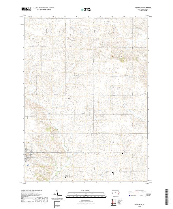 2022 Tipton East2022 Print · USGSEastern Cedar County is shown here in the modern era, where the city of Tipton transitions into a rolling agricultural landscape. Genealogists can trace family footprints through rural landmarks like York Prairie Cem, Virginia Grove Cem, and the banks of Sugar Cr.
 - 2022 Map of Tipton West, 2022 Print
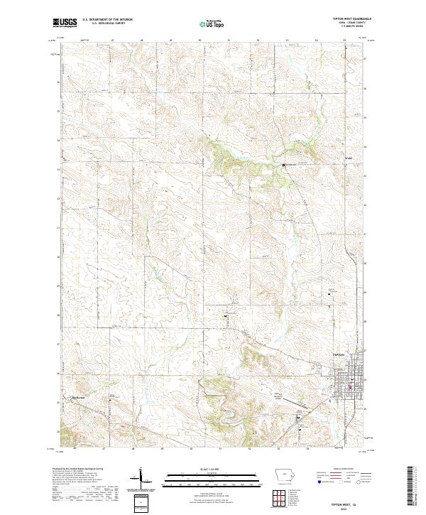 2022 Tipton West2022 Print · USGSCedar County and the western edge of the county seat appear in this recent survey of the Iowa prairie. Genealogists can trace family connections at Tipton Masonic Cem, Red Oak Cem, or the Cedar County Courthouse.
End of results
Showing maps 1-2 of 2
Top cities near Tipton
- West Liberty historical maps
- Wilton historical maps
- West Branch historical maps
- Durant historical maps
- Clarence historical maps
- Mechanicsville historical maps
See more
Frequently asked questions
- What are the different types of historical maps available for Tipton?
- What is the oldest map of Tipton?
- Where can I purchase historical maps of Tipton for my home or office?
- Where can I download high-res historical maps of Tipton?
- Are there historical topographic maps available for Tipton?
- Is there historical aerial imagery available for Tipton?
- Where are historical maps of Tipton sourced from?