2022 Map of Tipton West
USGS Topo · Published 2022About this map
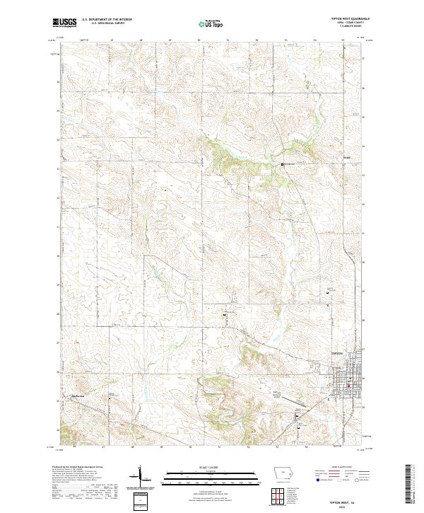
Tipton serves as the focal point of this western Cedar County survey, featuring the Cedar County Courthouse at its heart. The landscape is defined by the winding course of Rock Creek and its many tributaries, including W Rock Cr and Rock Run Cr, which carve through the Iowa prairie. The settlement pattern reveals the enduring agricultural roots of the region, anchored by small communities like Buchanan and the crossroads at Wald. Genealogy and local history researchers will find a significant concentration of burial sites, ranging from the Tipton Masonic Cem and Saint Marys Cem to the isolated Wood Bridge Cem. The inclusion of the Mathews Memorial Airport and a dense network of county roads like Co HWY f28 illustrates the modernization of transport across these traditional townships.
Find a feature on this map
59 named features on this map. Tap any name to fly to it.
Don’t see what you’re looking for? This feature index may not catch every label — zoom into the map to look around manually.
Map Details
Editions of this 2022 Tipton West Map
This is the sole edition of this map. No revisions or reprints were ever made.
Historical Maps of Tipton Through Time
10 maps found
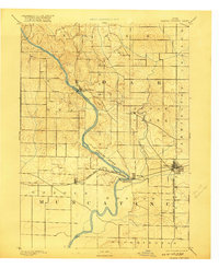
1891 Wilton Junction
Cedar County, IA
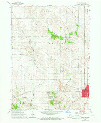
1953 Lime City
Cedar County, IA
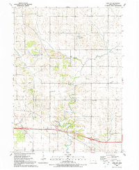
1953 Tipton East
Cedar County, IA
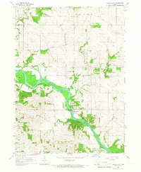
1965 Cedar Bluff
Cedar County, IA
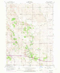
1965 Tipton West
Cedar County, IA
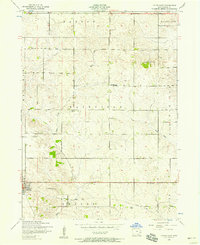
1991 Lime City
Cedar County, IA
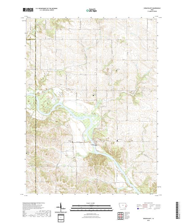
2022 Cedar Bluff
Cedar County, IA
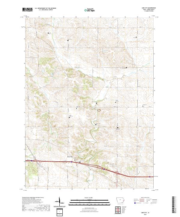
2022 Lime City
Cedar County, IA
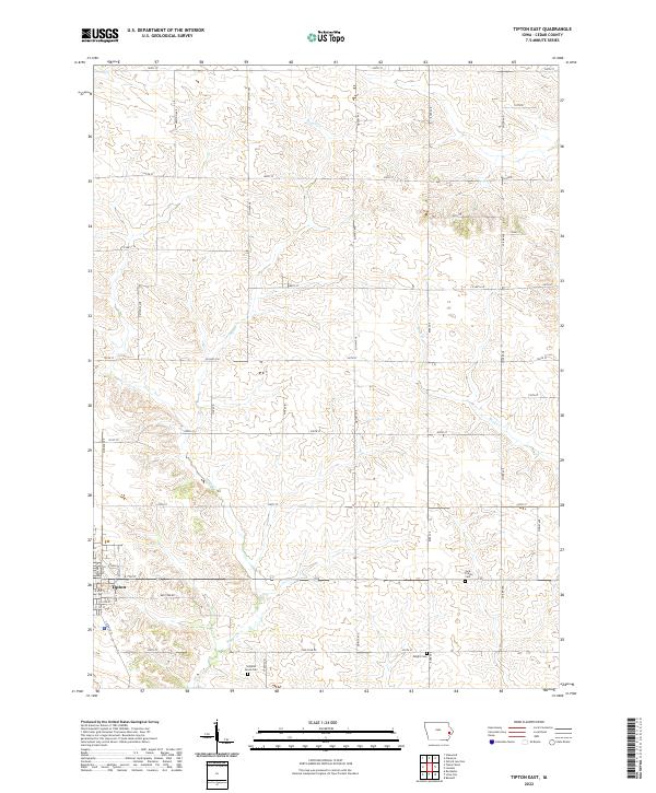
2022 Tipton East
Cedar County, IA
2022 Tipton West
Cedar County, IA