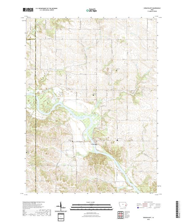
2022 Map of Cedar Bluff
USGS Topo · Published 2022About this map
Cedar Bluff sits along the northern banks of the Cedar River, serving as a focal point for this rural landscape where the borders of Linn, Johnson, and Cedar counties converge. The terrain is defined by a dense network of tributaries feeding the river, including Rock Run Cr, Coon Cr, and Gower Cr. This area is particularly noteworthy for its numerous family and community burial grounds, such as Evergreen Hill Cem, Shawver Cem, and Mason Cem, which provide a geographic record of early settlement patterns in this part of Iowa. The township-and-range grid system is clearly visible, with local thoroughfares like Solon Rd and Co Hwy F28 connecting the dispersed farmsteads and agricultural lands. In the southwest corner, Saint Bridgets Cem stands as a landmark near the county line, illustrating the importance of these small rural institutions in the local history of the region.
Find a feature on this map
63 named features on this map. Tap any name to fly to it.
Don’t see what you’re looking for? This feature index may not catch every label — zoom into the map to look around manually.
Map Details
Editions of this 2022 Cedar Bluff Map
This is the sole edition of this map. No revisions or reprints were ever made.
Other maps of this area

1889 · Tipton
USGS Topo · 1:62,500

1890 · Tipton
USGS Topo · 1:62,500

1891 · Mechanicsville
USGS Topo · 1:62,500

1891 · Wilton Junction
USGS Topo · 1:62,500

1894 · Mechanicsville
USGS Topo · 1:62,500

1894 · West Liberty
USGS Topo · 1:62,500

1901 · Stanwood
USGS Topo · 1:125,000

1958 · Davenport
USGS Topo · 1:250,000

1961 · Davenport
USGS Topo · 1:250,000

1962 · Davenport
USGS Topo · 1:250,000