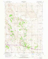
1953 Map of Lime City
USGS Topo · Published 1971About this map
Lime City serves as a central point in this rural landscape within Sugar Creek and Rochester townships. The map reflects a mid-century agricultural community anchored by numerous rural institutions, many of which appear in the process of transition. The presence of Bolton School (Abandoned) and Union School (Abandoned) highlights the consolidation of local education, while active sites like Pleasant Hill School and Sharon Independent School remain.
Find a feature on this map
27 named features on this map. Tap any name to fly to it.
Don’t see what you’re looking for? This feature index may not catch every label — zoom into the map to look around manually.
Map Details
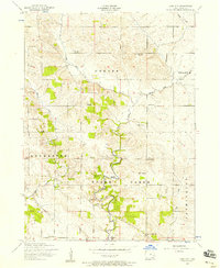
Editions of this 1953 Lime City Map
2 editions found
Other maps of this area

1889 · Tipton
USGS Topo · 1:62,500

1890 · Durant
USGS Topo · 1:62,500

1890 · Tipton
USGS Topo · 1:62,500

1891 · Wilton Junction
USGS Topo · 1:62,500

1892 · Wheatland
USGS Topo · 1:62,500

1894 · Wheatland
USGS Topo · 1:62,500

1894 · Durant
USGS Topo · 1:62,500

1901 · Rock Island
USGS Topo · 1:125,000

1901 · Stanwood
USGS Topo · 1:125,000

1910 · Rock Island
USGS Topo · 1:125,000