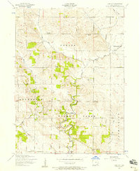
1953 Map of Lime City
USGS Topo · Published 1958About this map
The settlement of Lime City and the winding course of Sugar Creek anchor this mid-century portrait of Cedar County, Iowa. The landscape reveals a rural society in transition, marked by several defunct educational institutions such as Bolton School and Union School. These sites, along with the Sharon Independent School and White Pigeon School, highlight the dense network of one-room school districts that once structured life across Center, Rochester, and Sugar Creek townships.
Find a feature on this map
28 named features on this map. Tap any name to fly to it.
Don’t see what you’re looking for? This feature index may not catch every label — zoom into the map to look around manually.
Map Details
Editions of this 1953 Lime City Map
2 editions found
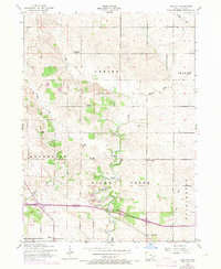
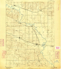
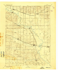
Other maps of this area

1889 · Tipton
USGS Topo · 1:62,500

1890 · Durant
USGS Topo · 1:62,500

1890 · Tipton
USGS Topo · 1:62,500

1891 · Wilton Junction
USGS Topo · 1:62,500
1892 · Wheatland
USGS Topo · 1:62,500
1894 · Wheatland
USGS Topo · 1:62,500

1894 · Durant
USGS Topo · 1:62,500

1901 · Rock Island
USGS Topo · 1:125,000

1901 · Stanwood
USGS Topo · 1:125,000

1910 · Rock Island
USGS Topo · 1:125,000