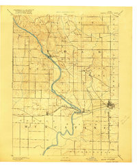
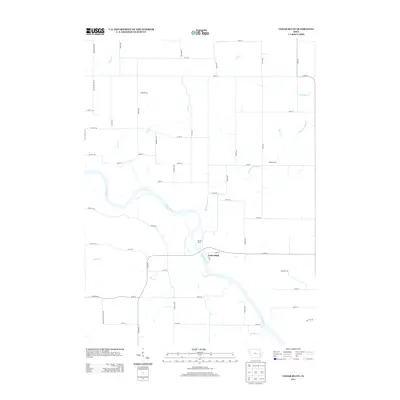
1891 Map of Wilton Junction
USGS Topo · Published 1917About this map
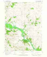
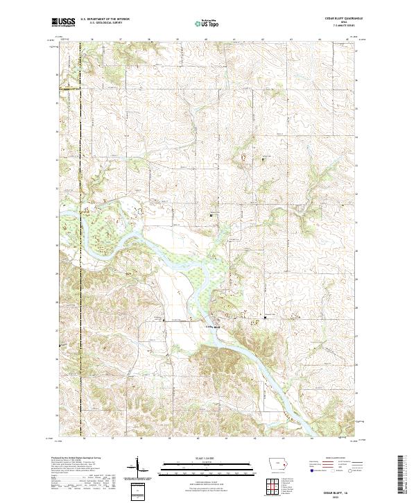
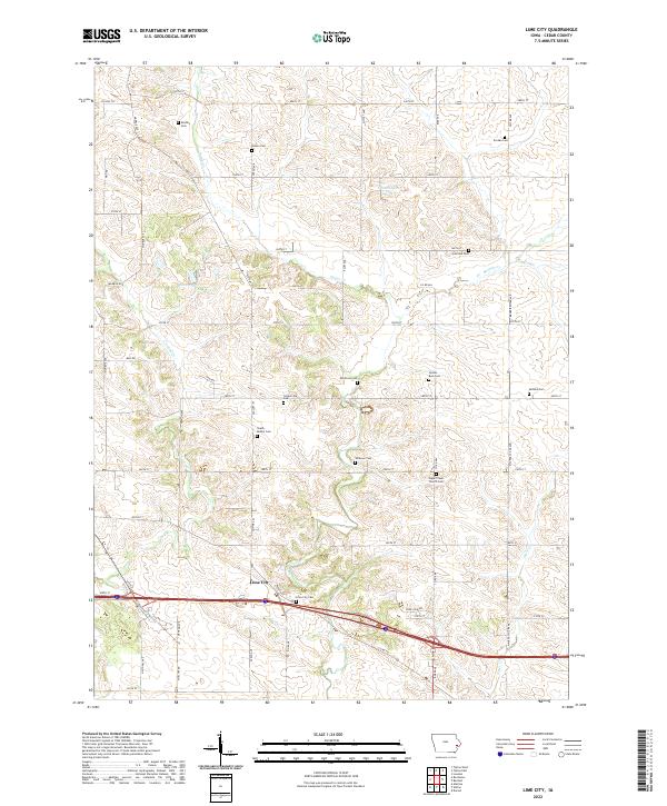
The Cedar River meanders sharply through this prairie landscape, carving a deep valley that defines the topography of Cedar and Muscatine Counties. Surveyed in 1889, the map reveals a late-19th-century agricultural economy tied closely to the Chicago Rock Island and Pacific Railroad, which links the growing village of Wilton with the riverside settlement of Moscow and nearby Atalissa. The rail line cuts a straight path across the drainage of Sugar Creek, bypassing older river-oriented sites like Rochester. Small, specialized nodes like Lime City reflect the era's local extractive industries and lime production, while the township boundaries of Farmington, Goshen, and Bloomington show the established grid of Iowa’s rural sections. This reconnaissance study by topographer Henry Gannett captures the transition from river-based transport to the dominance of the steam rail network.
Find a feature on this map
18 named features on this map. Tap any name to fly to it.
Don’t see what you’re looking for? This feature index may not catch every label — zoom into the map to look around manually.
Map Details
Editions of this 1891 Wilton Junction Map
3 editions found

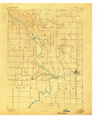
Historical Maps of West Liberty Through Time
26 maps found
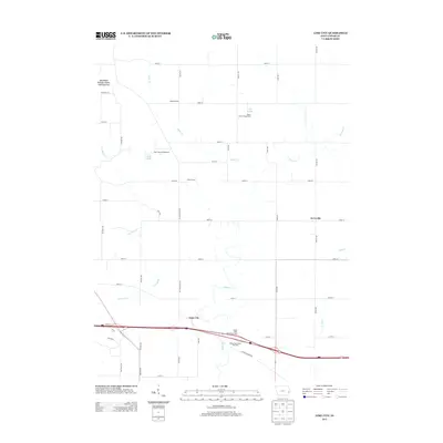
1891 Wilton Junction
Cedar County, IA
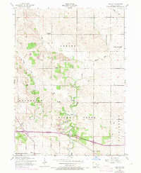
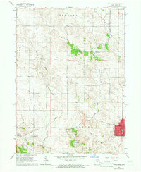
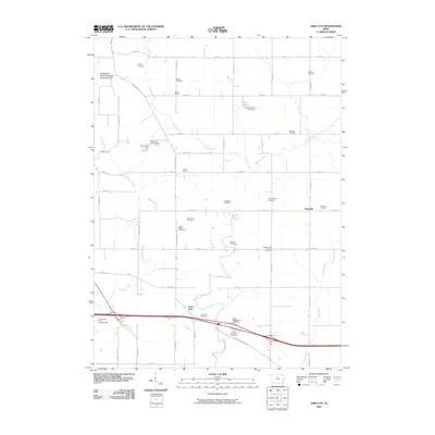
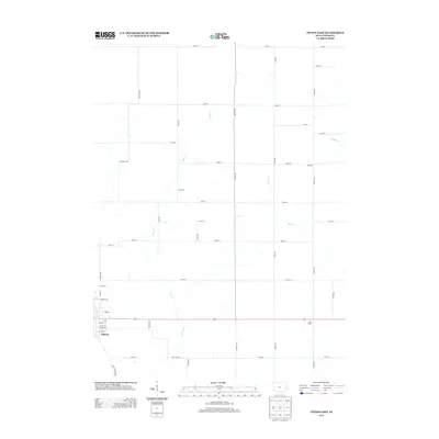
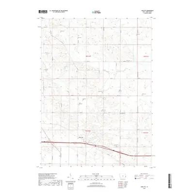
1953 Lime City
Cedar County, IA
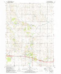
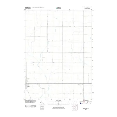
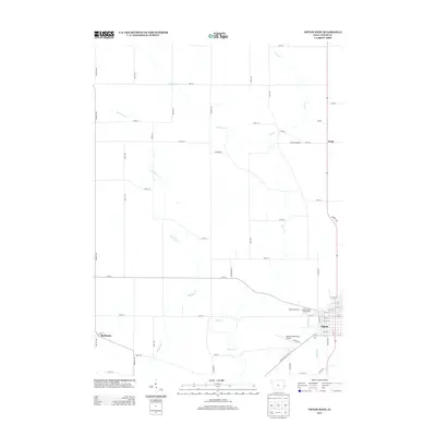
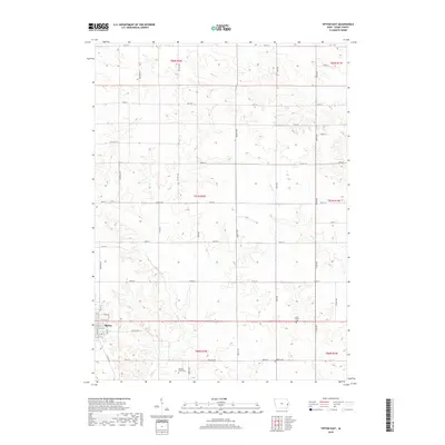
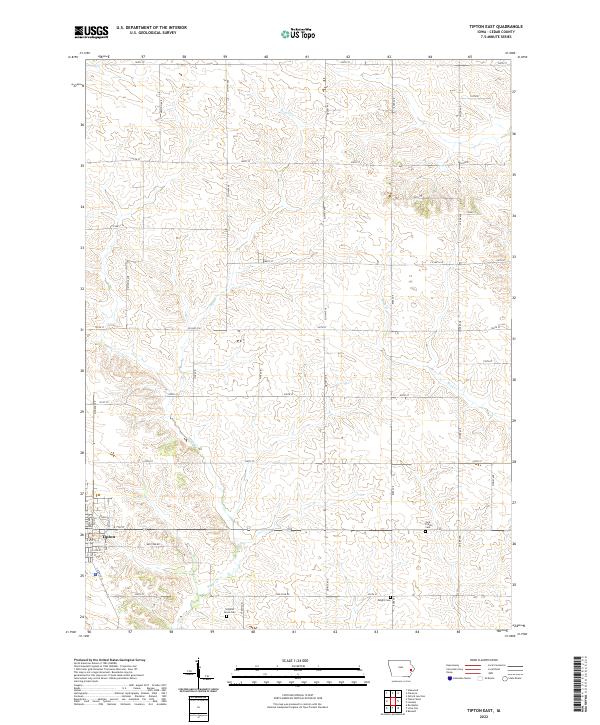
1953 Tipton East
Cedar County, IA
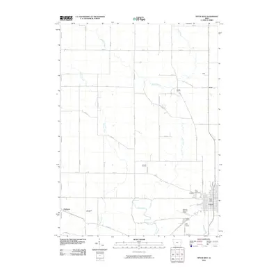
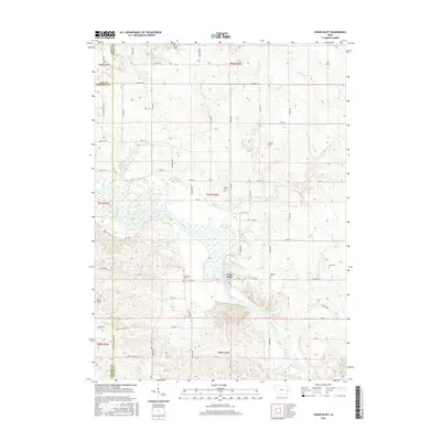
1965 Cedar Bluff
Cedar County, IA
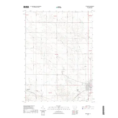
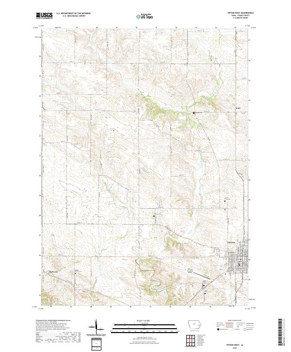
1965 Tipton West
Cedar County, IA
1991 Lime City
Cedar County, IA
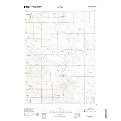
2010 Cedar Bluff
Cedar County, IA
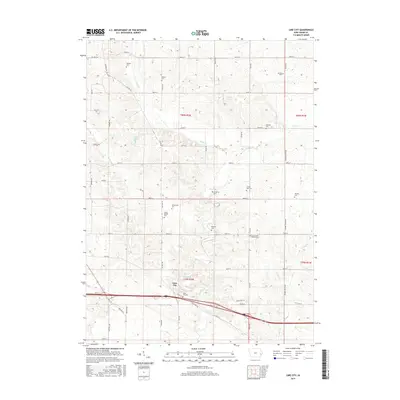
2010 Lime City
Cedar County, IA
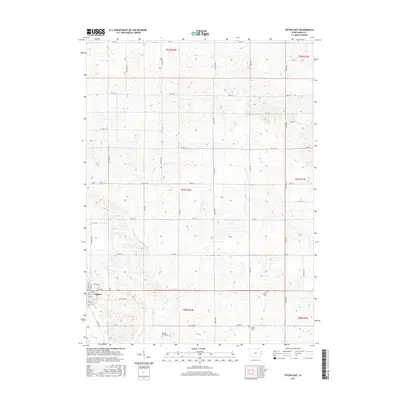
2010 Tipton East
Cedar County, IA
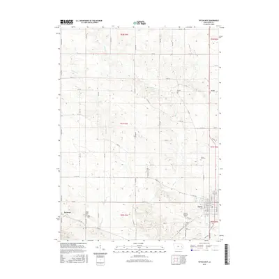
2010 Tipton West
Cedar County, IA
2013 Cedar Bluff
Cedar County, IA
2013 Lime City
Cedar County, IA
2013 Tipton East
Cedar County, IA
2013 Tipton West
Cedar County, IA
2015 Cedar Bluff
Cedar County, IA
2015 Lime City
Cedar County, IA
2015 Tipton East
Cedar County, IA
2015 Tipton West
Cedar County, IA
2018 Cedar Bluff
Cedar County, IA
2018 Lime City
Cedar County, IA
2018 Tipton East
Cedar County, IA
2018 Tipton West
Cedar County, IA
2022 Cedar Bluff
Cedar County, IA
2022 Lime City
Cedar County, IA
2022 Tipton East
Cedar County, IA
2022 Tipton West
Cedar County, IA