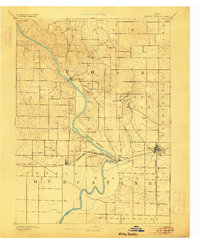
1891 Map of Wilton Junction
USGS Topo · Published 1906About this map
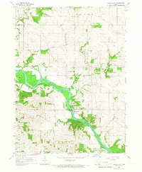
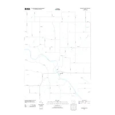
The Cedar River carves a deep, winding valley through the heart of this landscape, its steep bluffs and complex drainage patterns contrasting with the flatter agricultural uplands of Muscatine and Cedar Counties. Published from an 1889 survey, the map illustrates a region defined by its transit corridors. The Chicago Rock Island and Pacific Railroad serves as the primary artery for commerce, linking a string of important local stations including Atalissa, Moscow, and the bustling junction at Wilton. Smaller, perhaps now-faded settlements like Rochester and Lime City are documented here, positioned along the river and Sugar Creek respectively. The detailed contour work by W.J. Peters provides a precise view of the terrain as it was managed at the close of the nineteenth century, showing the relationship between early town placements and the natural water gaps.
Find a feature on this map
19 named features on this map. Tap any name to fly to it.
Don’t see what you’re looking for? This feature index may not catch every label — zoom into the map to look around manually.
Map Details
Editions of this 1891 Wilton Junction Map
3 editions found

Historical Maps of West Liberty Through Time
26 maps found
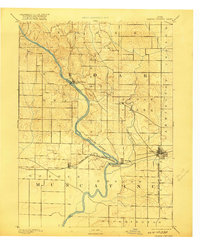
1891 Wilton Junction
Cedar County, IA
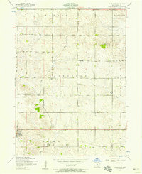
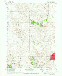
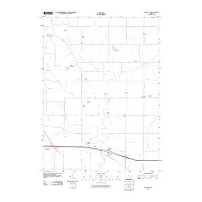
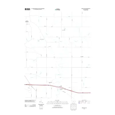
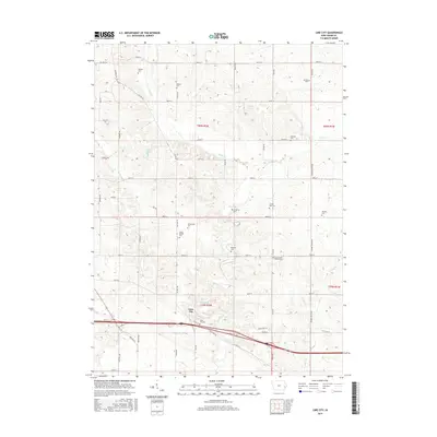
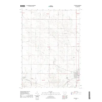
1953 Lime City
Cedar County, IA
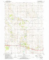
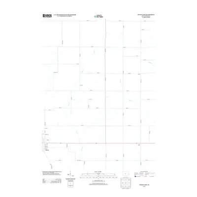
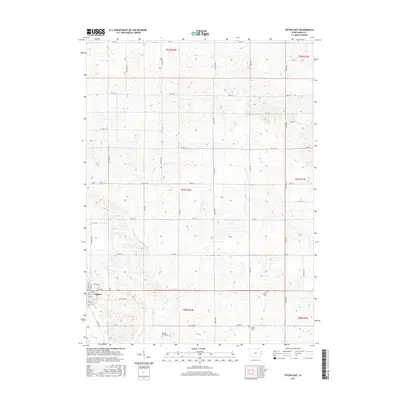
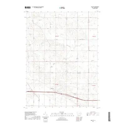
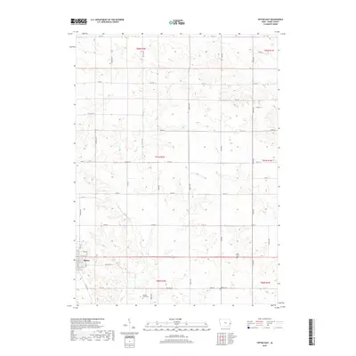
1953 Tipton East
Cedar County, IA
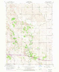
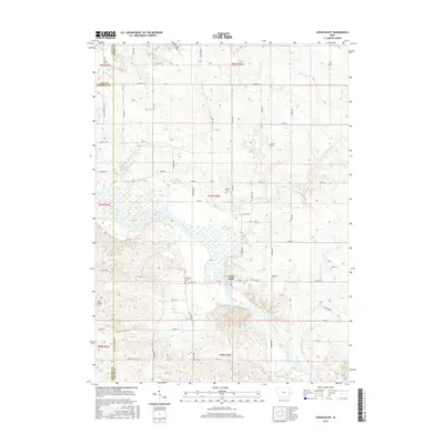
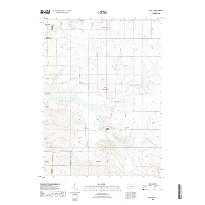
1965 Cedar Bluff
Cedar County, IA
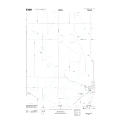
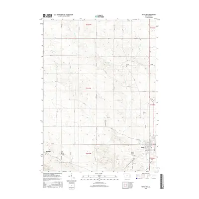
1965 Tipton West
Cedar County, IA
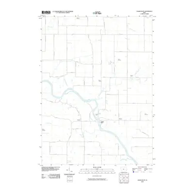
1991 Lime City
Cedar County, IA
2010 Cedar Bluff
Cedar County, IA
2010 Lime City
Cedar County, IA
2010 Tipton East
Cedar County, IA
2010 Tipton West
Cedar County, IA
2013 Cedar Bluff
Cedar County, IA
2013 Lime City
Cedar County, IA
2013 Tipton East
Cedar County, IA
2013 Tipton West
Cedar County, IA
2015 Cedar Bluff
Cedar County, IA
2015 Lime City
Cedar County, IA
2015 Tipton East
Cedar County, IA
2015 Tipton West
Cedar County, IA
2018 Cedar Bluff
Cedar County, IA
2018 Lime City
Cedar County, IA
2018 Tipton East
Cedar County, IA
2018 Tipton West
Cedar County, IA
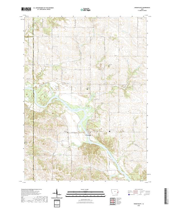
2022 Cedar Bluff
Cedar County, IA
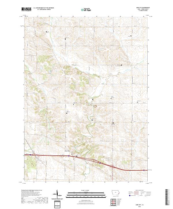
2022 Lime City
Cedar County, IA
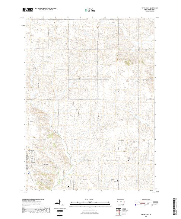
2022 Tipton East
Cedar County, IA
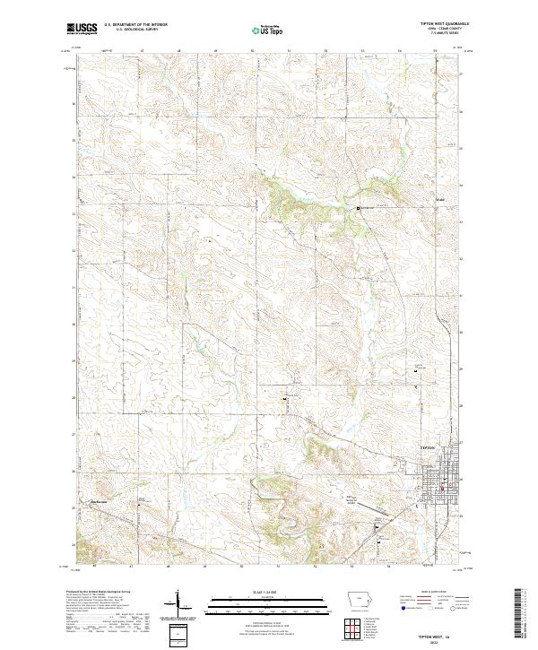
2022 Tipton West
Cedar County, IA