2020s Maps of Clayton County, Iowa
Explore 20 historic maps of Clayton County from the 2020s. These maps offer a rare glimpse into what life looked like during the 2020s — showing old roads, neighborhoods, homes, and landmarks that have changed or disappeared over time.
Whether you're researching your family's past, planning a metal detecting trip, or studying how Clayton County's landscape evolved across the 2020s, these high-resolution maps are a powerful tool for exploring the history of this region.
- Focus on a specific era: All maps on this page are from the 2020s, giving you a focused view of this time period.
- See what’s changed: Compare century-old streets, trails, and buildings to today's modern landscape using overlays and satellite layers.
- Research with precision: Use these maps for genealogy, historical research, land use analysis, or educational projects.
- View, download, or print: Maps are fully viewable online in high resolution, and can be downloaded or printed for your own records.
Start exploring Clayton County's history through authentic maps from the 2020s. This is your window into the past.
Clayton County, IA maps
(20)- 2022 Map of Brodtville, 2022 Print
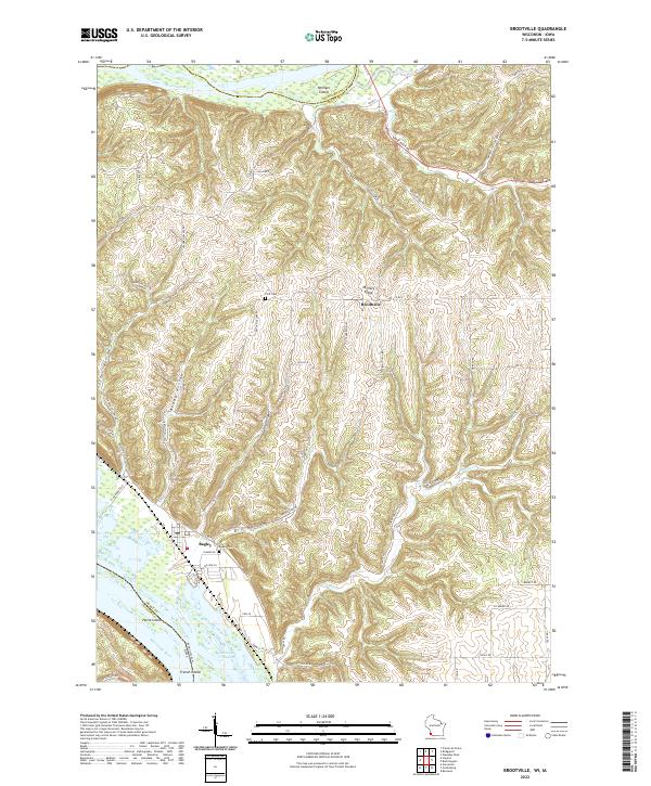 2022 Brodtville2022 Print · USGSGrant County river life and ridge-top farming meet in this modern survey of the Wisconsin-Iowa border. Genealogists and local historians can trace the topography around Bagley and Brodtville, locating family landmarks like Flint Cem and Bagley Cem.
 - 2022 Map of Cassville, 2022 Print
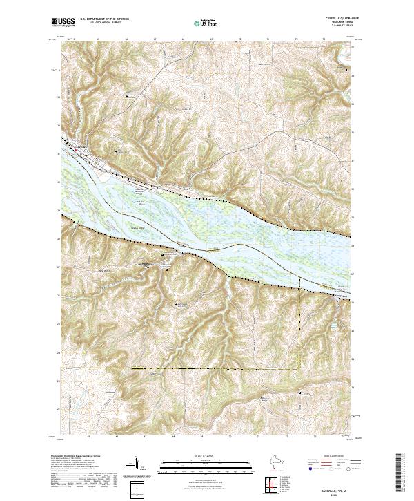 2022 Cassville2022 Print · USGSThe upper Mississippi River valley at the Wisconsin-Iowa border reveals a detailed network of islands and bluff-top settlements. Researchers can trace family history through sites like Saint Charles Cem or locate the Cassville Car Ferry and North Buena Vista.
 - 2022 Map of Prairie du Chien, 2022 Print
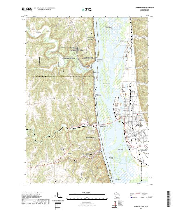 2022 Prairie du Chien2022 Print · USGSThe Upper Mississippi River valley comes alive in this 2022 survey of the historic river crossing between Wisconsin and Iowa. Trace the evolution of early river life through landmarks like Fort Crawford, McGregor, and the ancient Effigy Mounds National Monument.
 - 2022 Map of Giard, 2022 Print
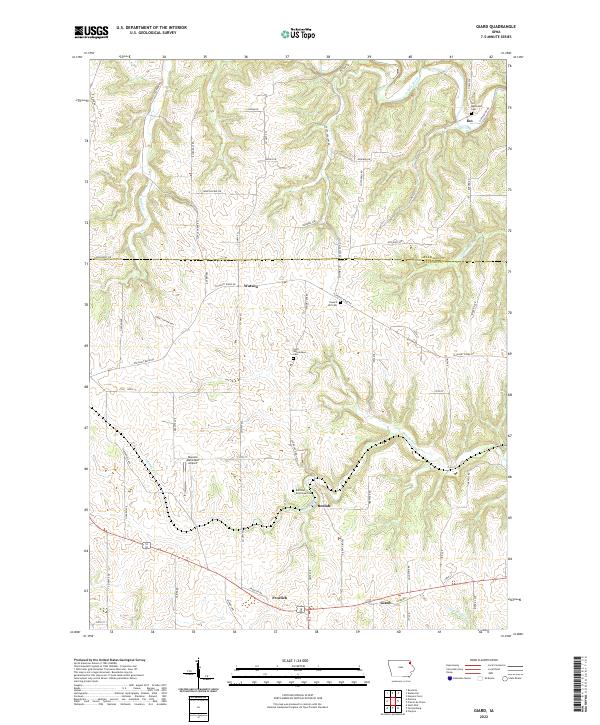 2022 Giard2022 Print · USGSClayton County's rural landscape is documented here in the early twenty-first century, showing the enduring structure of its townships and creek valleys. Genealogists can locate specific burial grounds like the Railroad Employee Cem and Ion Methodist Cem or trace the routes of Bloody Run and Sny Magill Cr.
 - 2022 Map of Postville, 2022 Print
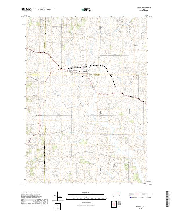 2022 Postville2022 Print · USGSThe intersection of four Iowa counties and the town of Postville are documented in this contemporary survey. Researchers can locate family heritage sites at the Post Township Cem and Fry Cem or trace the winding paths of Williams Cr.
 - 2022 Map of Monona, 2022 Print
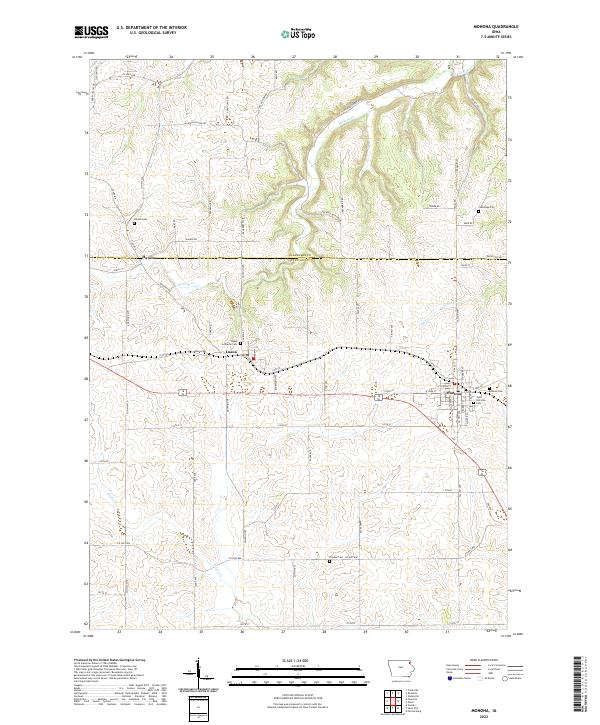 2022 Monona2022 Print · USGSNortheast Iowa at the turn of the decade reveals a landscape of established townships and deep-rooted family history. Researchers can trace genealogical sites from the Monona Cem to the Luana Lutheran Cem, or locate the historic settlement of Hardin.
 - 2022 Map of Littleport, 2022 Print
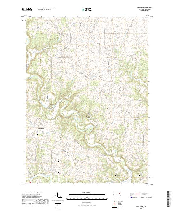 2022 Littleport2022 Print · USGSClayton County’s river valleys and rural settlements are documented here during the early twenty-first century. Genealogists can trace family heritage through numerous remote burial sites like Saint Joseph Cem, Union Cem, and Hartshey Cem.
 - 2022 Map of Colesburg, 2022 Print
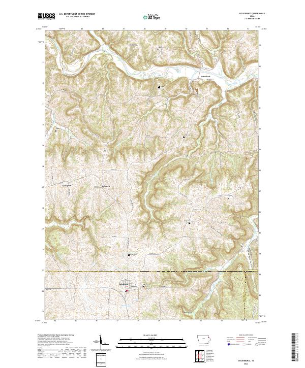 2022 Colesburg2022 Print · USGSThe tri-county border of Clayton, Delaware, and Dubuque counties comes alive in this survey of the deeply carved landscape around Colesburg. Genealogists and local historians can locate numerous rural burial sites like Oak Hill Cem and Hansel Cem or trace the winding course of the Turkey River.
 - 2022 Map of Saint Olaf, 2022 Print
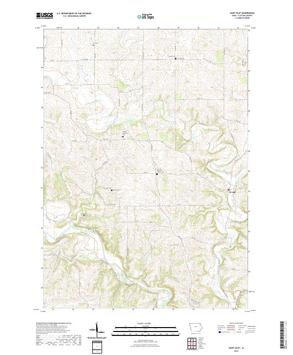 2022 Saint Olaf2022 Print · USGSClayton County's rural heartland is captured here in the early twenty-first century, centered on the small community of St. Olaf. Genealogists can trace family heritage through a high density of local burial sites, including Weymouth Cem, Clark Cem, and Patterson Cem.
 - 2022 Map of Strawberry Point, 2022 Print
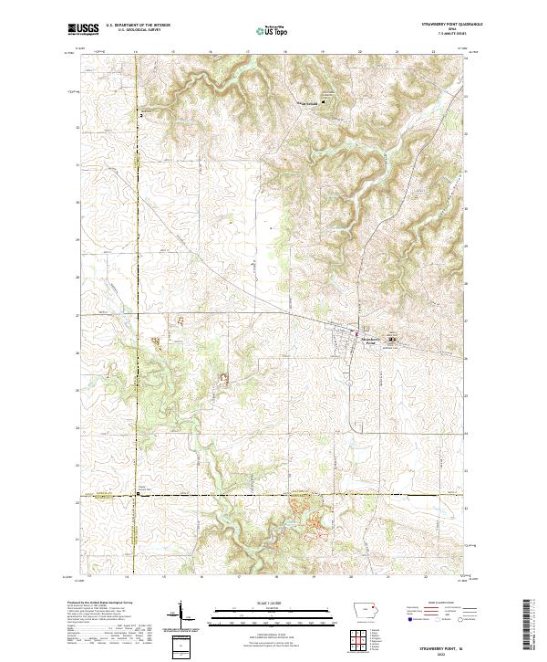 2022 Strawberry Point2022 Print · USGSStrawberry Point and the surrounding four-county borderlands are documented here in the early twenty-first century. Researchers can trace rural lineages through local landmarks like Reed Cem, Saint Sebald, and the springs feeding the Maquoketa River.
 - 2022 Map of Volga, 2022 Print
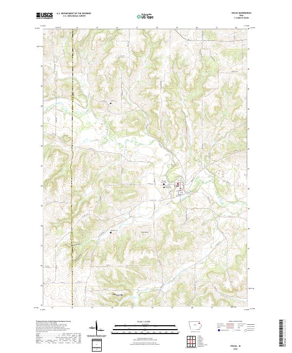 2022 Volga2022 Print · USGSThe Volga River valley in Clayton County is captured here in recent years, showing the established grid of Volga and nearby Thomasville. Researchers can locate several burial sites, including the Old Stone School Cem and Rothfusz Cem, tucked near German Hollow.
 - 2022 Map of Gunder, 2022 Print
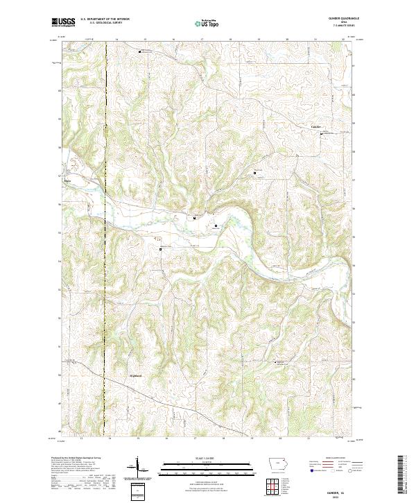 2022 Gunder2022 Print · USGSClayton County farmland and river breaks are captured here in the early twenty-first century. Genealogists can trace rural church history across numerous sites including East Clermont Lutheran Cemetery, Marion Lutheran Cem, and the small Mork Cem near the Turkey River.
 - 2022 Map of Elkader, 2022 Print
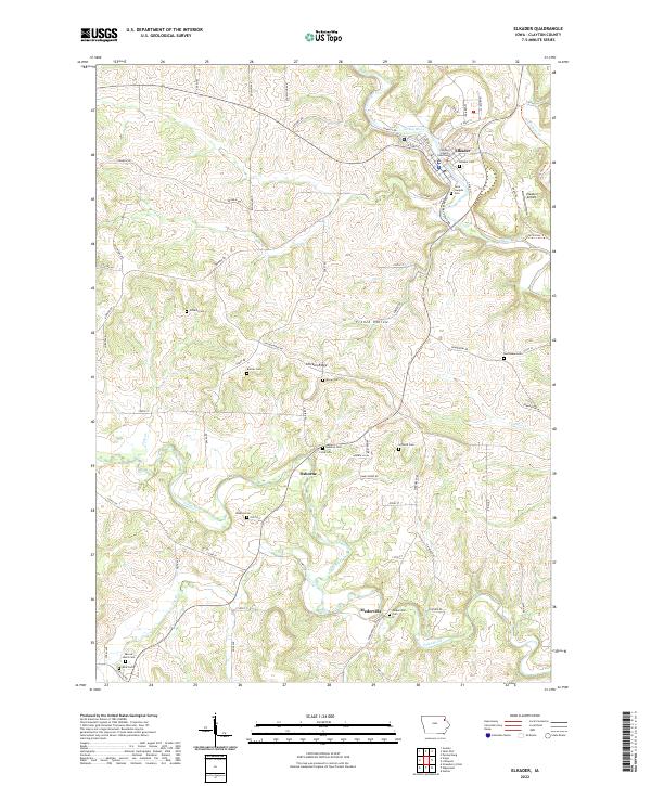 2022 Elkader2022 Print · USGSElkader and the surrounding river valleys are captured here in the early twenty-first century, showcasing the enduring settlement patterns of Clayton County. Researchers can trace family history through a high density of rural burial sites, such as Dohrer Cem, Watkins Cem, and Osborne Cem.
 - 2022 Map of Farmersburg, 2022 Print
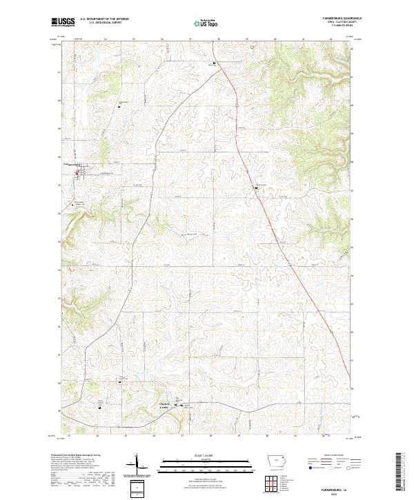 2022 Farmersburg2022 Print · USGSFarmersburg and Clayton Center are mapped in this modern survey of northeast Iowa's prairie and valley landscape. Genealogists can trace family heritage across numerous burial sites including Zion Lutheran Cem, National Cem, and the Winkawitsch Cem.
 - 2022 Map of Turkey River, 2022 Print
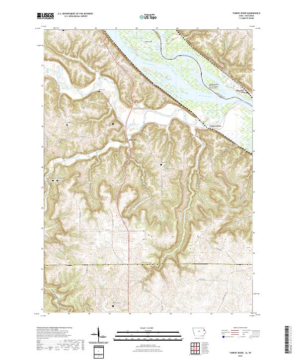 2022 Turkey River2022 Print · USGSThe Mississippi River and Turkey River meet at this tri-county border in the early 2020s, revealing a landscape of steep hollows and high ridges. Researchers can trace rural lineages through the Bierer and Redman cemeteries or locate the Cassville Car Ferry.
 - 2022 Map of Edgewood, 2022 Print
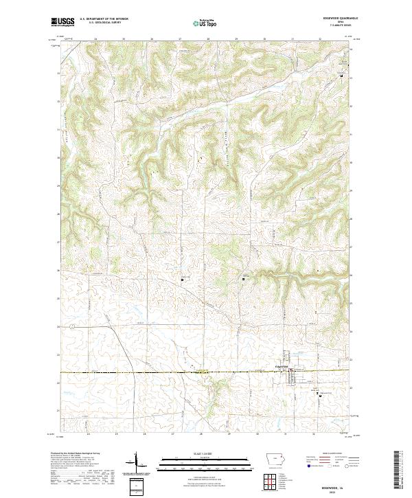 2022 Edgewood2022 Print · USGSEdgewood and the border between Clayton and Delaware counties appear in this recent survey of rural Iowa. Genealogists and local historians can locate several family and community burial sites, including Noble Cemetery, Green Hill Cemetery, and Edgewood Cemetery.
 - 2022 Map of Clayton, 2022 Print
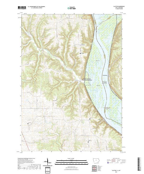 2022 Clayton2022 Print · USGSThe Upper Mississippi riverfront near the Iowa-Wisconsin border is captured here in the early twenty-first century. Genealogists can locate family names at the Norwegian Church Cem or Jenkins Cem and trace the bluffside limits of Effigy Mounds National Monument.
 - 2022 Map of Guttenberg, 2022 Print
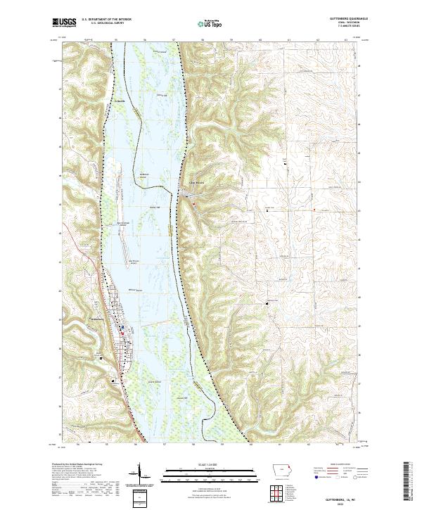 2022 Guttenberg2022 Print · USGSThe Mississippi River valley corridor comes into sharp focus during the 2020s, showing the intricate geography of the Iowa and Wisconsin border. Local historians can trace river features like Swift Slough or locate family plots at Charlotte Cemetery and Scott Cemetery.
 - 2022 Map of Garnavillo, 2022 Print
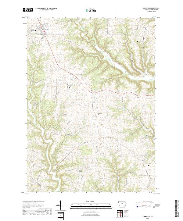 2022 Garnavillo2022 Print · USGSGarnavillo and the surrounding Clayton County uplands are documented here in the early twenty-first century. Genealogists can locate several local burial sites including Garnavillo Community Cem and Saint Marys Cem set against the drainages of Buck Cr and Miners Cr.
 - 2022 Map of Garber, 2022 Print
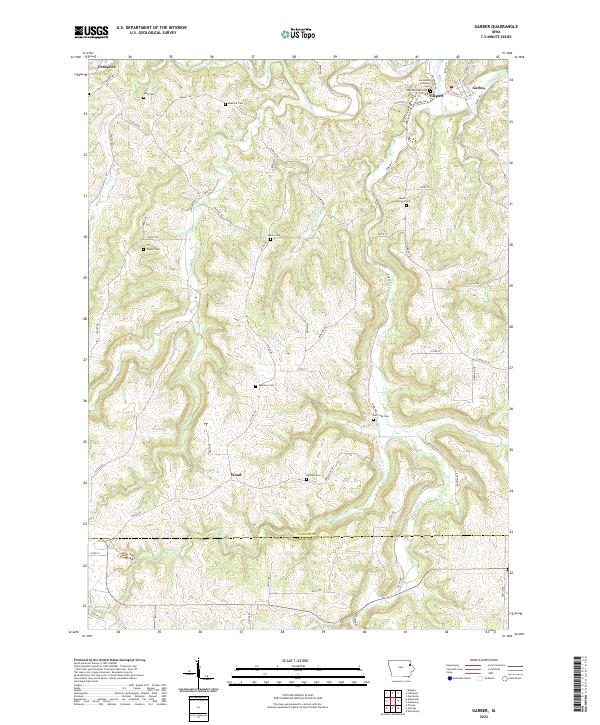 2022 Garber2022 Print · USGSThe Volga and Turkey Rivers meet in this corner of Northeast Iowa, anchoring a landscape of deep valleys and clustered settlements. Genealogists can trace family landmarks and burial sites across the ridges, from Ebenezer Cem to the community of Littleport.
End of results
Showing maps 1-20 of 20
Top cities of Clayton County
- Guttenberg historical maps
- Monona historical maps
- Elkader historical maps
- Strawberry Point historical maps
- Garnavillo historical maps
- McGregor historical maps
See more
Frequently asked questions
- What are the different types of historical maps available for Clayton County?
- What is the oldest map of Clayton County?
- Where can I purchase historical maps of Clayton County for my home or office?
- Where can I download high-res historical maps of Clayton County?
- Are there historical topographic maps available for Clayton County?
- Is there historical aerial imagery available for Clayton County?
- Where are historical maps of Clayton County sourced from?