2010s Maps of Clayton County, Iowa
Explore 80 historic maps of Clayton County from the 2010s. These maps offer a rare glimpse into what life looked like during the 2010s — showing old roads, neighborhoods, homes, and landmarks that have changed or disappeared over time.
Whether you're researching your family's past, planning a metal detecting trip, or studying how Clayton County's landscape evolved across the 2010s, these high-resolution maps are a powerful tool for exploring the history of this region.
- Focus on a specific era: All maps on this page are from the 2010s, giving you a focused view of this time period.
- See what’s changed: Compare century-old streets, trails, and buildings to today's modern landscape using overlays and satellite layers.
- Research with precision: Use these maps for genealogy, historical research, land use analysis, or educational projects.
- View, download, or print: Maps are fully viewable online in high resolution, and can be downloaded or printed for your own records.
Start exploring Clayton County's history through authentic maps from the 2010s. This is your window into the past.
Clayton County, IA maps
(80)- 2010 Map of Farmersburg, 2010 Print
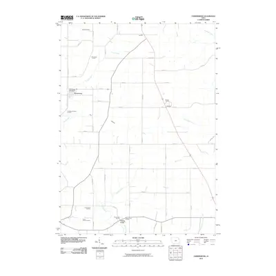 2010 Farmersburg2010 Print · USGSFarmersburg and the surrounding Clayton County countryside are documented here in the early 2000s, showing a landscape deeply rooted in its agricultural and community history. Researchers can trace numerous local burial sites including National Cemetery, Zion Lutheran Cemetery, and the County Home Cemetery.
 - 2010 Map of Edgewood, 2010 Print
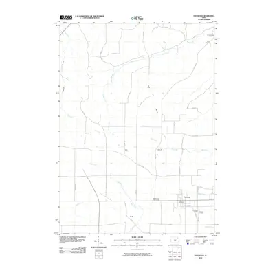 2010 Edgewood2010 Print · USGSThe township of Edgewood and the settlement of York are documented in this early twenty-first-century survey of the Iowa countryside. Researchers can trace local lineage through several sites including Noble Cemetery, Green Hill Cemetery, and Edgewood Cemetery.
 - 2010 Map of Volga, 2010 Print
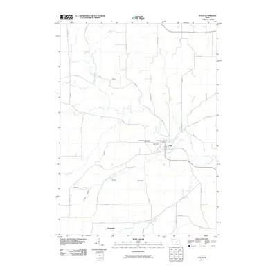 2010 Volga2010 Print · USGSThe Volga River valley comes into focus in this Clayton County survey from the early twenty-first century. Genealogists and local historians can trace family locations near the Volga Post Office, Thomasville, and distinct sites like Sacred Heart- Schoolhouse Yard Cemetery.
 - 2010 Map of Garber, 2010 Print
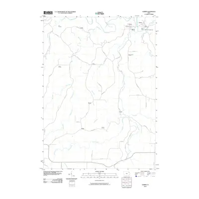 2010 Garber2010 Print · USGSClayton County's river valleys come alive in this early 21st-century record of the Turkey River confluence. Genealogists can trace family history through a dozen rural burial grounds including Saint Michaels Cemetery and Wolf Cemetery.
 - 2010 Map of Garnavillo, 2010 Print
 2010 Garnavillo2010 Print · USGSClayton County’s agricultural highlands and deep drainage hollows are documented here at the start of the 21st century. Researchers can locate numerous family burial sites and rural landmarks, including the Stock School Cemetery, Ceres, and the Garnavillo Post Office.
 - 2010 Map of Colesburg, 2010 Print
 2010 Colesburg2010 Print · USGSColesburg and the surrounding driftless-style terrain of northeastern Iowa appear here in the early twenty-first century. Family history researchers can locate several rural burying grounds including Hansel Cemetery and Oak Hill Cemetery or trace the river valley near Osterdock.
 - 2010 Map of Gunder, 2010 Print
 2010 Gunder2010 Print · USGSFayette County's agricultural heartland is documented here in the early twenty-first century as the Turkey River flows past Elgin. Researchers can trace local lineage through numerous burial sites like Highland Lutheran Cemetery and Marion Lutheran Cemetery.
 - 2010 Map of Elkader, 2010 Print
 2010 Elkader2010 Print · USGSClayton County river valleys and ridge-top farms are meticulously detailed in this early 21st-century study. Genealogists and local historians can trace family locations through numerous sites like Eastside Cemetery, Sacred Heart Cemetery, and the historic Keystone Bridge.
 - 2010 Map of Postville, 2010 Print
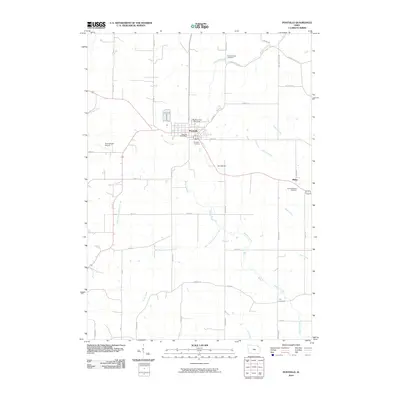 2010 Postville2010 Print · USGSPostville and the surrounding Allamakee County farm country are shown here in the early 21st century. Genealogists can trace family names through burial sites like Post Township Cemetery and Fry Cemetery, or locate the historic Big Four Fair Grounds.
 - 2010 Map of Giard, 2010 Print
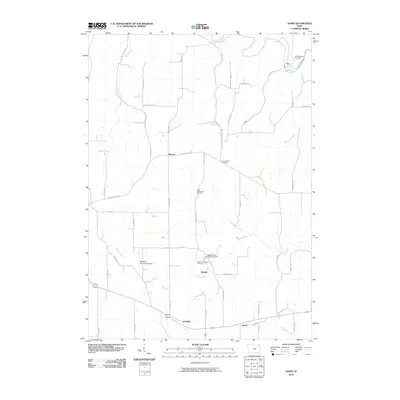 2010 Giard2010 Print · USGSAllamakee and Clayton Counties are shown in the early 21st century as a landscape of ridge-top farms and deep river valleys. Researchers can trace rural lineages through the Ion Methodist Cemetery or explore landmarks like Spook Cave and Campground and Froelich.
 - 2010 Map of Strawberry Point, 2010 Print
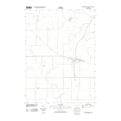 2010 Strawberry Point2010 Print · USGSStrawberry Point and the surrounding Clayton County farm country are captured here in the early twenty-first century. Researchers can locate ancestral sites at Saint Sebald, trace the winding Maquoketa River, and identify historic rural markers like Reeds Cemetery.
 - 2010 Map of Saint Olaf, 2010 Print
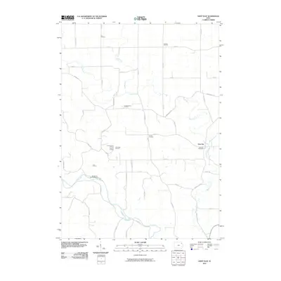 2010 Saint Olaf2010 Print · USGSClayton County farmland surrounds the town of Saint Olaf in this twenty-first-century survey of northeast Iowa. Genealogists can trace a remarkable number of rural burial sites, including Eno Cemetery, United Brethren Cemetery, and the Big Spring Trout Hatchery.
 - 2010 Map of Littleport, 2010 Print
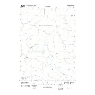 2010 Littleport2010 Print · USGSClayton County in the early twenty-first century reveals a landscape shaped by the Turkey and Volga Rivers and a deep network of rural heritage sites. Genealogists and historians can trace family locations near Motor Mill, the Clayton County Fairgrounds, and numerous burial grounds like Communia Cemetery.
 - 2010 Map of Monona, 2010 Print
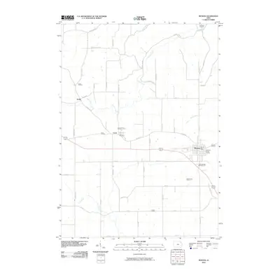 2010 Monona2010 Print · USGSClayton County’s rolling farmland and river valleys are captured here at the start of the 2010s. Genealogists can trace deep local roots at Saint Pauls Lutheran Cemetery, Hardin Cemetery, and the Pioneer Cemetery near the Silver Creek headwaters.
 - 2010 Map of Clayton, 2010 Print
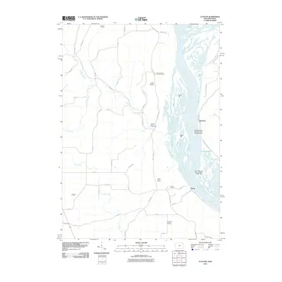 2010 Clayton2010 Print · USGSThe confluence of the Mississippi and Wisconsin rivers is captured here at the start of the 21st century. Researchers can trace the legacy of local families through numerous burial sites like Jenkins Cemetery and explore river features such as Catfish Slough.
 - 2010 Map of Brodtville, 2010 Print
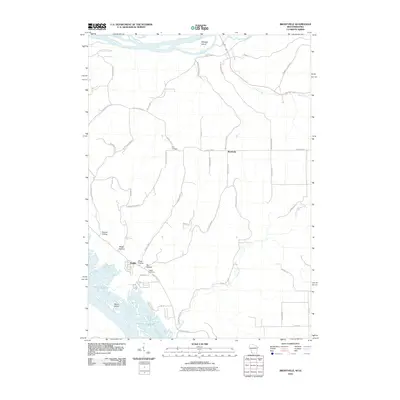 2010 Brodtville2010 Print · USGSIn the driftless area during the early 2000s, this survey documents the meeting of the two great rivers of the Midwest. Genealogists and local historians can trace family plots at Flint Cemetery or explore the riverfront settlement of Bagley and the hollows of Glass Hollow.
 - 2010 Map of Guttenberg, 2010 Print
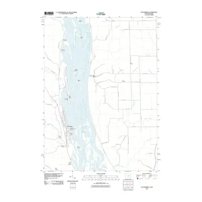 2010 Guttenberg2010 Print · USGSLife along the Upper Mississippi at the turn of the decade centers on the riverfront town of Guttenberg and the nearby village of Glen Haven. Researchers can trace local burial sites like Gockel Cemetery or locate riverside landmarks such as the Iowa State Fish Aquarium and Hatchery.
 - 2010 Map of Turkey River, 2010 Print
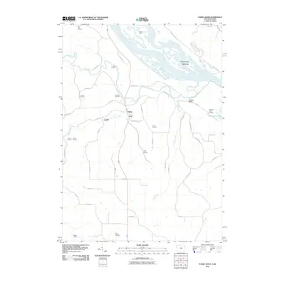 2010 Turkey River2010 Print · USGSThe Mississippi River borderlands are shown in great detail during the early 21st century, from the Iowa bluffs to the Wisconsin shore. Genealogists can locate several family burial grounds like Bierer Cemetery and Myer Property Cemetery or trace the hollows around Millville.
 - 2010 Map of Cassville, 2010 Print
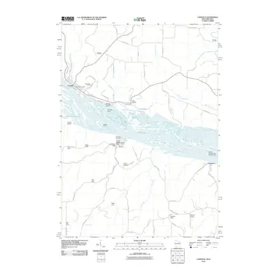 2010 Cassville2010 Print · USGSThe Mississippi River valley comes alive in this study of the river border between Wisconsin and Iowa. Local historians can trace the foundations of Cassville and North Buena Vista, or locate rural sites like Saint Paul Lutheran Cemetery and the old Hefel School.
 - 2010 Map of Prairie du Chien, 2010 Print
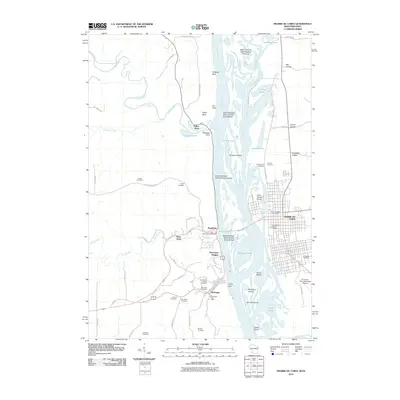 2010 Prairie du Chien2010 Print · USGSThe riverfront communities of McGregor and Prairie du Chien are shown at the turn of the millennium along the braided Mississippi River. Genealogists can trace local roots through numerous sites like Fort Crawford National Cemetery and Baylis Cemetery.
 - 2013 Map of Monona, 2013 Print
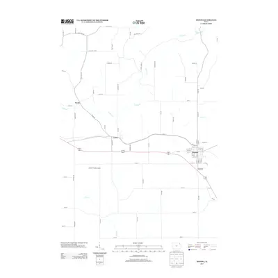 2013 Monona2013 Print · USGSClayton County’s agricultural heartland and the winding valleys of the Yellow River are captured here during the early twenty-first century. Genealogists and local historians can trace the street grids of Monona and Luana or locate family-named rural routes like Bart Rd and Diplomat Rd.
 - 2013 Map of Postville, 2013 Print
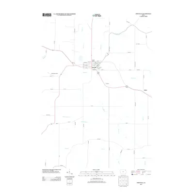 2013 Postville2013 Print · USGSPostville and its neighboring farmsteads are documented in this late-era survey of Allamakee and Clayton Counties. Genealogists and local historians can trace specific properties near Springfield or locate landmarks like the Big Four Fair Grounds and Dale Delight Airport.
 - 2013 Map of Giard, 2013 Print
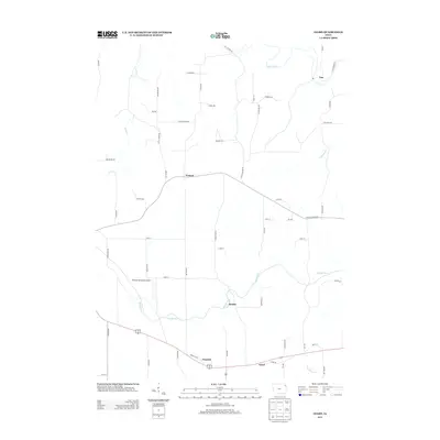 2013 Giard2013 Print · USGSAllamakee County's agricultural landscape and creek valleys are captured in the early twenty-first century. Researchers can trace the rural communities of Ion and Froelich or locate landmarks like Monona Municipal Airport and Spook Cave Rd.
 - 2013 Map of Saint Olaf, 2013 Print
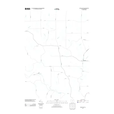 2013 Saint Olaf2013 Print · USGSSaint Olaf and the surrounding Clayton County farmlands are shown here in the early twenty-first century. Researchers can trace the rural landscape from the Big Spring Trout Hatchery to the headwaters of Roberts Cr and the winding Turkey River.
 - 2013 Map of Garber, 2013 Print
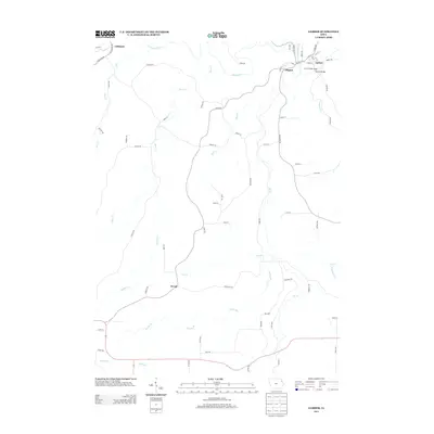 2013 Garber2013 Print · USGSThe confluence of the Volga and Turkey rivers shapes the landscape of northeastern Iowa in the early twenty-first century. Researchers can trace the layout of small river towns like Elkport, Garber, and Littleport, or locate landmarks such as the Garber Bridge.
Showing maps 1-25 of 80
Top cities of Clayton County
- Guttenberg historical maps
- Monona historical maps
- Elkader historical maps
- Strawberry Point historical maps
- Garnavillo historical maps
- McGregor historical maps
See more
Frequently asked questions
- What are the different types of historical maps available for Clayton County?
- What is the oldest map of Clayton County?
- Where can I purchase historical maps of Clayton County for my home or office?
- Where can I download high-res historical maps of Clayton County?
- Are there historical topographic maps available for Clayton County?
- Is there historical aerial imagery available for Clayton County?
- Where are historical maps of Clayton County sourced from?