Old Maps of Farmersburg, Iowa for Metal Detecting
Plan your next treasure hunt with 12 historic maps of Farmersburg. Find old homesites, ghost towns, trails, and gathering spots that may be lost to time — perfect for identifying promising metal detecting locations.
- Locate forgotten sites: Uncover places like long-lost settlements, abandoned rail lines, or gathering spots.
- Plan better hunts: Use map overlays combined with LiDAR or satellite views to narrow in on historically rich areas.
- Made for detectorists: Thousands of hobbyists use these maps to discover relics, coins, and hidden history.
Use these historic maps to boost your research and find new opportunities beneath the surface of Farmersburg.
Farmersburg, IA maps
(12)- 1902 Map of Elkader
 1902 Elkader1902 Print · USGSNortheast Iowa at the turn of the century is defined by the deep river valleys of the Mississippi, Turkey, and Volga. Genealogists and historians can trace rail lines and early settlements like Elkader, Guttenberg, and Elkport as they appeared in 1898.4 unique versions available
 - 1959 Map of Dubuque, 1982 Print
 1959 Dubuque1982 Print · USGSThe Tri-State region comes alive in the mid-twentieth century as a hub of river commerce and rail transit. Genealogists and historians can trace the paths of the Illinois Central Gulf through Dubuque or locate the Savanna Ordnance Depot and Lock and Dam No 11.
 - 1961 Map of Dubuque
 1961 Dubuque1961 Print · USGSThe Tri-State region's river-and-rail landscape is captured here during the early sixties, showing the convergence of Iowa, Illinois, and Wisconsin. Trace mid-century rail lines like the Chicago Great Western Ry and explore sites like the Savanna Ordnance Depot and Backbone State Park.
 - 1962 Map of Dubuque
 1962 Dubuque1962 Print · USGSThe Tri-State region's river-and-rail economy is captured here in the early sixties, centered on the Mississippi River bluffs. Genealogists and historians can locate Numerous lead and zinc mines, the New Melleray Abbey Monastery, and rural hubs like Saint Olaf.2 unique versions available
 - 1965 Map of Farmersburg, 1966 Print
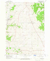 1965 Farmersburg1966 Print · USGSClayton County farmland and creek valleys are captured here during the mid-sixties, centered on the communities of Farmersburg and National. Researchers can trace the Chicago Milwaukee St Paul and Pacific rail line and locate the County Fairground and National Cem.
 - 1976 Map of Dubuque
 1976 Dubuque1976 Print · USGSThe tri-state borderlands of Iowa, Wisconsin, and Illinois come alive during the mid-seventies, showing a region built on river commerce and mining. Genealogists and historians can trace the paths of the Illinois Central railroad or locate heritage sites like the New Melleray Abbey Monastery and Backbone State Park.
 - 1984 Map of Oelwein, 1985 Print
 1984 Oelwein1985 Print · USGSNortheast Iowa and the Mississippi riverfront appear in detail during the 1980s, showing a land defined by deep river valleys and high ridges. Genealogists and historians can trace the Chicago and North Western rail line and locate rural sites like St Sebald Ch and Quaker Mill Pond.2 unique versions available
 - 2010 Map of Farmersburg, 2010 Print
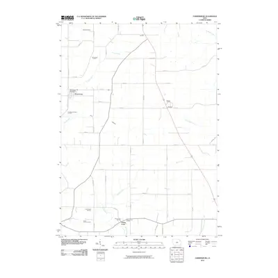 2010 Farmersburg2010 Print · USGSFarmersburg and the surrounding Clayton County countryside are documented here in the early 2000s, showing a landscape deeply rooted in its agricultural and community history. Researchers can trace numerous local burial sites including National Cemetery, Zion Lutheran Cemetery, and the County Home Cemetery.
 - 2013 Map of Farmersburg, 2013 Print
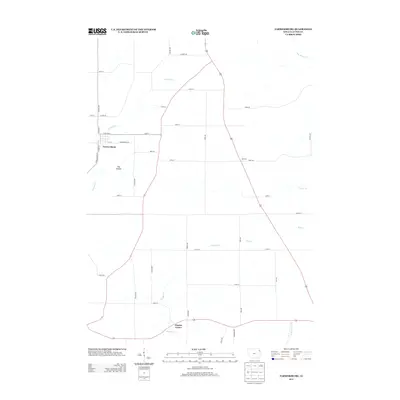 2013 Farmersburg2013 Print · USGSClayton County agricultural lands are captured here in the early twenty-first century, showcasing the established farm networks and rural townships. Genealogists and local historians can trace property boundaries near Farmersburg and the crossroads at Clayton Center, following waterways like Dry Mill Creek.
 - 2015 Map of Farmersburg, 2015 Print
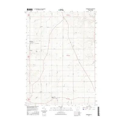 2015 Farmersburg2015 Print · USGSClayton County’s rolling farmland and rural heritage are captured here in the mid-2010s, showing a landscape deeply tied to its original section lines. Genealogists can trace a remarkable number of local burial sites, including Giard Cem, National Cem, and the Colony Catholic Cem near Clayton Center.
 - 2018 Map of Farmersburg, 2018 Print
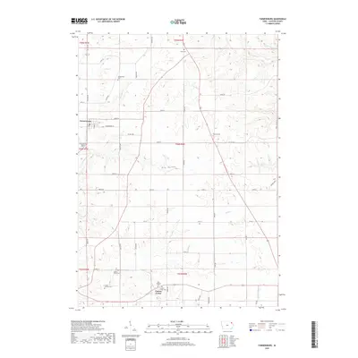 2018 Farmersburg2018 Print · USGSClayton County’s rural heritage is well-preserved in this modern survey of the Driftless Area during the late 2010s. Researchers can locate numerous local burial grounds including Zion Lutheran Cem, National Cem, and Winkawitsch Cem.
 - 2022 Map of Farmersburg, 2022 Print
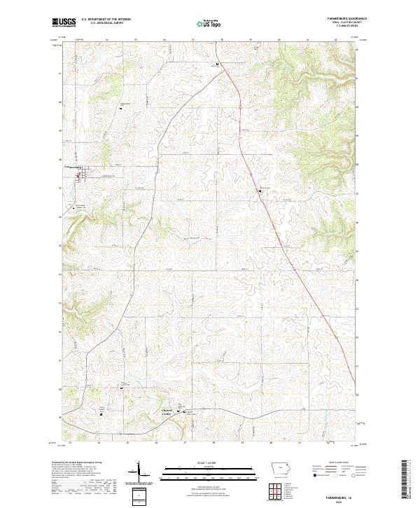 2022 Farmersburg2022 Print · USGSFarmersburg and Clayton Center are mapped in this modern survey of northeast Iowa's prairie and valley landscape. Genealogists can trace family heritage across numerous burial sites including Zion Lutheran Cem, National Cem, and the Winkawitsch Cem.
End of results
Showing maps 1-12 of 12
Top cities near Farmersburg
- Prairie du Chien historical maps
- Postville historical maps
- Monona historical maps
- Elkader historical maps
- Bridgeport historical maps
- Garnavillo historical maps
See more
Frequently asked questions
- What are the different types of historical maps available for Farmersburg?
- What is the oldest map of Farmersburg?
- Where can I purchase historical maps of Farmersburg for my home or office?
- Where can I download high-res historical maps of Farmersburg?
- Are there historical topographic maps available for Farmersburg?
- Is there historical aerial imagery available for Farmersburg?
- Where are historical maps of Farmersburg sourced from?