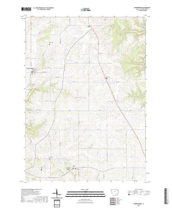
2022 Map of Farmersburg
USGS Topo · Published 2022About this map
Farmersburg and the surrounding rural stretches of Clayton County are defined by a network of established family and community cemeteries that trace the settlement history of northeast Iowa. This modern topographic survey illustrates a landscape deeply rooted in its agricultural and denominational past, centered on the village of Farmersburg and the small crossroads at Clayton Center. The distribution of burial sites, such as the Zion Lutheran Cem and Colony Catholic Cem, speaks to the distinct immigrant and religious communities that anchored themselves in the township during the 19th century. The terrain is notably dissected by drainage features like Dry Hollow, which complicates the otherwise orderly grid of section lines and gravel roads. Researchers will find interest in the proximity of several legacy sites, including the National Cem and the County Home Cem, providing a clear look at the public and private landmarks that endure in this farming region.
Find a feature on this map
17 named features on this map. Tap any name to fly to it.
Don’t see what you’re looking for? This feature index may not catch every label — zoom into the map to look around manually.
Map Details
Editions of this 2022 Farmersburg Map
This is the sole edition of this map. No revisions or reprints were ever made.
Other maps of this area

1902 · Elkader
USGS Topo · 1:125,000

1903 · Waukon
USGS Topo · 1:125,000

1929 · Prairie Du Chien
USGS Topo · 1:62,500

1932 · Prairie Du Chien
USGS Topo · 1:62,500

1958 · La Crosse
USGS Topo · 1:250,000

1959 · Dubuque
USGS Topo · 1:250,000

1961 · Dubuque
USGS Topo · 1:250,000

1961 · La Crosse
USGS Topo · 1:250,000

1962 · Dubuque
USGS Topo · 1:250,000

1962 · Clayton
USGS Topo · 1:24,000