2000s (21st Century) Maps of Des Moines Township, Iowa
Explore 10 historic maps of Des Moines Township from the 2000s (21st Century). These maps offer a rare glimpse into what life looked like during the 2000s — showing old roads, neighborhoods, homes, and landmarks that have changed or disappeared over time.
Whether you're researching your family's past, planning a metal detecting trip, or studying how Des Moines Township's landscape evolved across the 2000s, these high-resolution maps are a powerful tool for exploring the history of this region.
- Focus on a specific era: All maps on this page are from the 2000s, giving you a focused view of this time period.
- See what’s changed: Compare century-old streets, trails, and buildings to today's modern landscape using overlays and satellite layers.
- Research with precision: Use these maps for genealogy, historical research, land use analysis, or educational projects.
- View, download, or print: Maps are fully viewable online in high resolution, and can be downloaded or printed for your own records.
Start exploring Des Moines Township's history through authentic maps from the 2000s. This is your window into the past.
Des Moines Township, IA maps
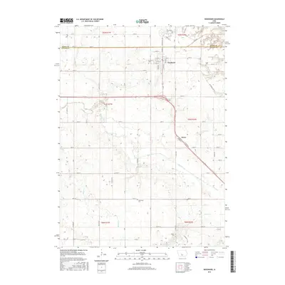
(10)- 2010 Map of Woodward, 2010 Print
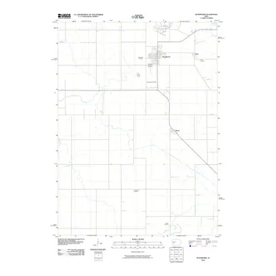 2010 Woodward2010 Print · USGSCovers Des Moines Township, including Woodward, Beaver Township, and other nearby areas
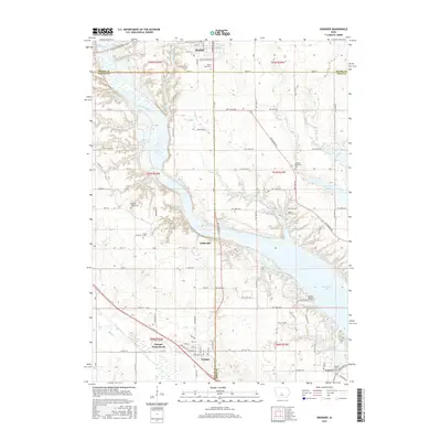
 - 2010 Map of Granger, 2010 Print
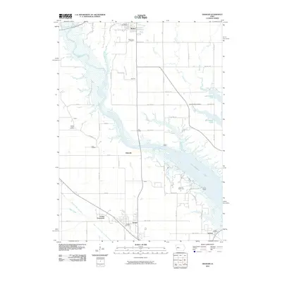 2010 Granger2010 Print · USGSCovers Des Moines Township, including Johnston, Madrid, and other nearby areas
 - 2013 Map of Granger, 2013 Print
 2013 Granger2013 Print · USGSCovers Des Moines Township, including Johnston, Madrid, and other nearby areas
 - 2013 Map of Woodward, 2013 Print
 2013 Woodward2013 Print · USGSCovers Des Moines Township, including Woodward, Beaver Township, and other nearby areas
 - 2015 Map of Woodward, 2015 Print
 2015 Woodward2015 Print · USGSCovers Des Moines Township, including Woodward, Beaver Township, and other nearby areas
 - 2015 Map of Granger, 2015 Print
 2015 Granger2015 Print · USGSCovers Des Moines Township, including Johnston, Madrid, and other nearby areas
 - 2018 Map of Woodward, 2018 Print
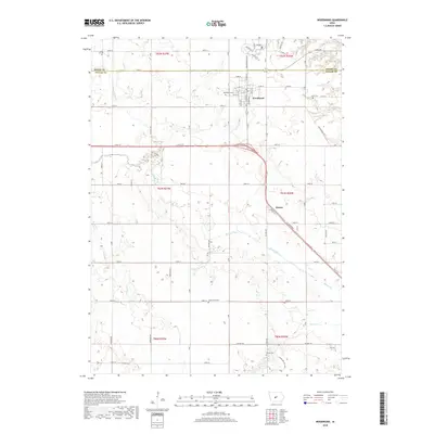 2018 Woodward2018 Print · USGSCovers Des Moines Township, including Woodward, Beaver Township, and other nearby areas
 - 2018 Map of Granger, 2018 Print
 2018 Granger2018 Print · USGSCovers Des Moines Township, including Johnston, Madrid, and other nearby areas
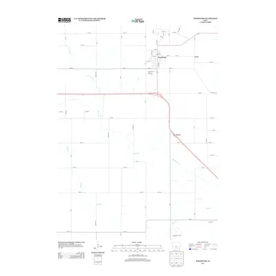
 - 2022 Map of Woodward, 2022 Print
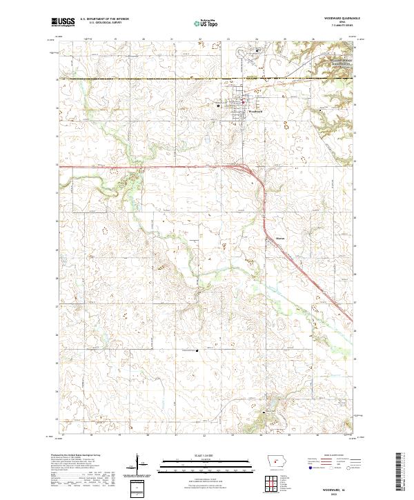 2022 Woodward2022 Print · USGSThe Woodward area at the Dallas and Boone County border shows a landscape defined by prairie agriculture and modern transit. Trace local roots at Xenia Cem and Woodward Cem, or follow the High Trestle Trl past Moran and Beaver Creek.
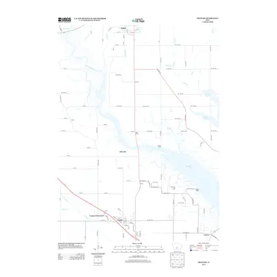
 - 2022 Map of Granger, 2022 Print
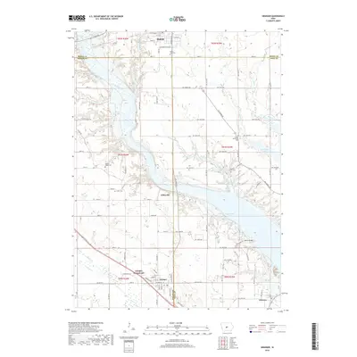
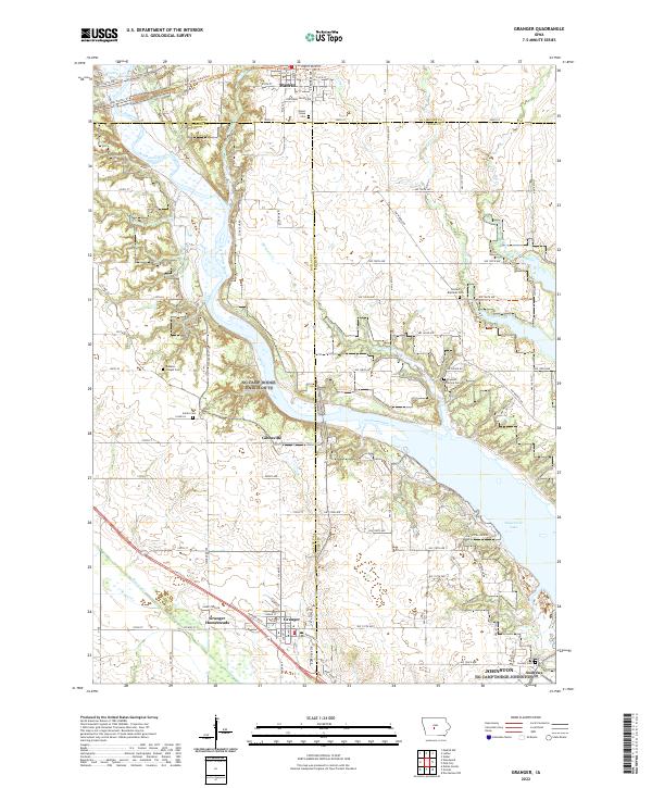 2022 Granger2022 Print · USGSThe Des Moines River valley serves as the junction for three Iowa counties in this recent survey. Local historians can trace the Granger Homesteads and old rural cemeteries like Hopkins Grove Cem and Snider Cem across this evolving landscape.
End of results
Showing maps 1-10 of 10
Top cities near Des Moines Township
- Des Moines historical maps
- West Des Moines historical maps
- Ankeny historical maps
- Ames historical maps
- Urbandale historical maps
- Johnston historical maps
See more
Top neighborhoods of Des Moines Township
Frequently asked questions
- What are the different types of historical maps available for Des Moines Township?
- What is the oldest map of Des Moines Township?
- Where can I purchase historical maps of Des Moines Township for my home or office?
- Where can I download high-res historical maps of Des Moines Township?
- Are there historical topographic maps available for Des Moines Township?
- Is there historical aerial imagery available for Des Moines Township?
- Where are historical maps of Des Moines Township sourced from?