Old Maps of Sperry, Iowa for Metal Detecting
Plan your next treasure hunt with 13 historic maps of Sperry. Find old homesites, ghost towns, trails, and gathering spots that may be lost to time — perfect for identifying promising metal detecting locations.
- Locate forgotten sites: Uncover places like long-lost settlements, abandoned rail lines, or gathering spots.
- Plan better hunts: Use map overlays combined with LiDAR or satellite views to narrow in on historically rich areas.
- Made for detectorists: Thousands of hobbyists use these maps to discover relics, coins, and hidden history.
Use these historic maps to boost your research and find new opportunities beneath the surface of Sperry.
Sperry, IA maps
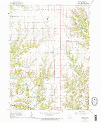
(13)- 1934 Map of Burlington
 1934 Burlington1934 Print · USGSThe river bottomlands of Illinois and Iowa come alive in the mid-1930s, showing a landscape defined by the shifting currents and rail lines. Genealogists and historians can trace small rural communities and local education centers like Orchard City, Carthage Junc, and Crystal Lake Sch.2 unique versions available
 - 1940 Map of Burlington
 1940 Burlington1940 Print · USGSThe Mississippi River floodplain comes alive in the mid-1930s, showing the intricate network of sloughs and rail lines between Illinois and Iowa. Genealogists and historians can locate rural landmarks like Merry Dell Sch, trace the Chicago Burlington and Quincy tracks, or explore the riverfront at Gulfport.3 unique versions available
 - 1958 Map of Burlington, 1968 Print
 1958 Burlington1968 Print · USGSThe tri-state river country of Iowa, Illinois, and Missouri is captured here in the mid-fifties, dominated by the Mississippi River and major rail lines. Genealogists and historians can trace the development of river towns like Keokuk or locate the sprawling Iowa Army Ammunition Plant.4 unique versions available
 - 1961 Map of Burlington
 1961 Burlington1961 Print · USGSThe tri-state borderlands along the Mississippi River are captured here during the late fifties and early sixties, showing the vital river-and-rail economy of Iowa, Illinois, and Missouri. Genealogists and historians can trace the development of major hubs like Galesburg and Macomb alongside landmark sites such as the Iowa Ordnance Plant and the historic river town of Nauvoo.
 - 1963 Map of Burlington
 1963 Burlington1963 Print · USGSThe tri-state river country of the Mississippi and Illinois valleys comes alive in this mid-century survey. Genealogists and historians can trace the industrial and academic growth of the region, from the Iowa Ordnance Plant to campuses like Knox College and Western Illinois University.
 - 1964 Map of Sperry, 1965 Print
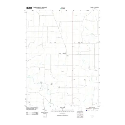
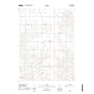
 1964 Sperry1965 Print · USGSDes Moines County as it appeared in the mid-sixties reveals a landscape of productive Iowa farmland carved by the valleys of Flint Creek and Knotty Creek. Genealogists and local historians can trace the foundations of the community at Old Stone Ch, the Gypsum Plant, and Franklin Mills Sch.2 unique versions available
 - 1985 Map of Burlington
 1985 Burlington1985 Print · USGSThe Tri-State region during the mid-eighties shows a landscape shaped by the Mississippi River and a dense network of railroads. Genealogists and local historians can trace family sites near Aspen Grove Cem or locate community landmarks in Burlington, Fort Madison, and Mount Pleasant.2 unique versions available
 - 1990 Map of Burlington
 1990 Burlington1990 Print · USGSThe tri-state confluence of Iowa, Illinois, and Missouri is mapped here at the end of the twentieth century. Genealogists and historians can trace the riverfront heritage of Burlington, Keokuk, and Fort Madison, or locate sites like the Battle of Athens State Historic Site.2 unique versions available
 - 2010 Map of Sperry, 2010 Print
 2010 Sperry2010 Print · USGSCovers Sperry, including Kline, Dodgeville, and other nearby areas
 - 2013 Map of Sperry, 2013 Print
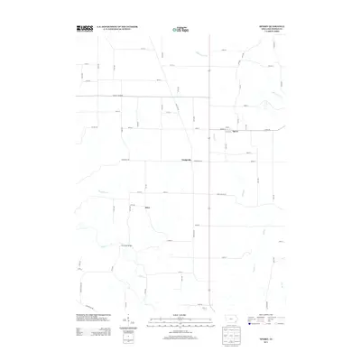 2013 Sperry2013 Print · USGSCovers Sperry, including Kline, Dodgeville, and other nearby areas
 - 2015 Map of Sperry, 2015 Print
 2015 Sperry2015 Print · USGSCovers Sperry, including Kline, Dodgeville, and other nearby areas
 - 2018 Map of Sperry, 2018 Print
 2018 Sperry2018 Print · USGSCovers Sperry, including Kline, Dodgeville, and other nearby areas
 - 2022 Map of Sperry, 2022 Print
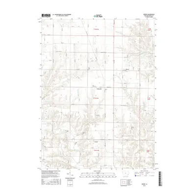
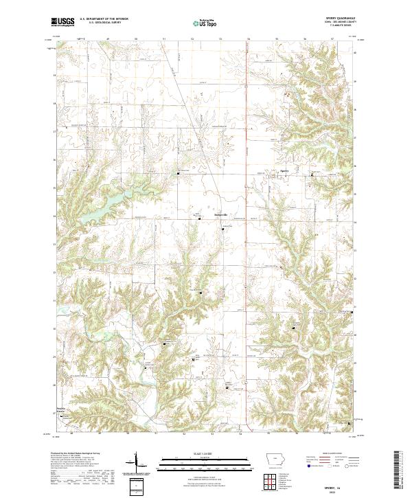 2022 Sperry2022 Print · USGSDes Moines County farming communities are documented here in the early 2020s, showing the intersection of agricultural life and local heritage. Genealogists can trace family footprints across numerous sites like the Schilb-Bolick Cem, Franklin Mills Cem, and the village of Dodgeville.
End of results
Showing maps 1-13 of 13
Top cities near Sperry
- Burlington historical maps
- West Burlington historical maps
- Wapello historical maps
- Mediapolis historical maps
- Oquawka historical maps
- Danville historical maps
See more
Frequently asked questions
- What are the different types of historical maps available for Sperry?
- What is the oldest map of Sperry?
- Where can I purchase historical maps of Sperry for my home or office?
- Where can I download high-res historical maps of Sperry?
- Are there historical topographic maps available for Sperry?
- Is there historical aerial imagery available for Sperry?
- Where are historical maps of Sperry sourced from?