2020s Maps of Dubuque County, Iowa
Explore 24 historic maps of Dubuque County from the 2020s. These maps offer a rare glimpse into what life looked like during the 2020s — showing old roads, neighborhoods, homes, and landmarks that have changed or disappeared over time.
Whether you're researching your family's past, planning a metal detecting trip, or studying how Dubuque County's landscape evolved across the 2020s, these high-resolution maps are a powerful tool for exploring the history of this region.
- Focus on a specific era: All maps on this page are from the 2020s, giving you a focused view of this time period.
- See what’s changed: Compare century-old streets, trails, and buildings to today's modern landscape using overlays and satellite layers.
- Research with precision: Use these maps for genealogy, historical research, land use analysis, or educational projects.
- View, download, or print: Maps are fully viewable online in high resolution, and can be downloaded or printed for your own records.
Start exploring Dubuque County's history through authentic maps from the 2020s. This is your window into the past.
Dubuque County, IA maps
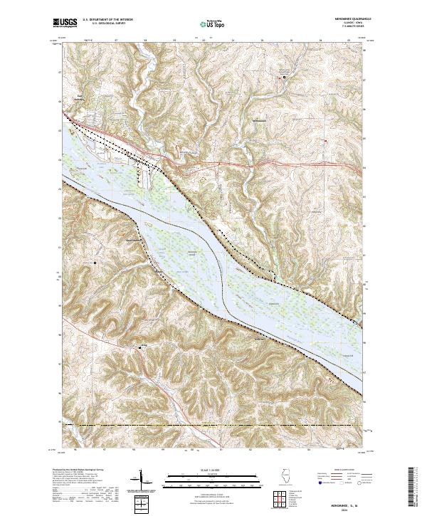
(24)- 2021 Map of Menominee, 2021 Print
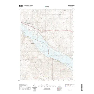 2021 Menominee2021 Print · USGSCovers Dubuque County, including East Dubuque, Menominee, and other nearby areas
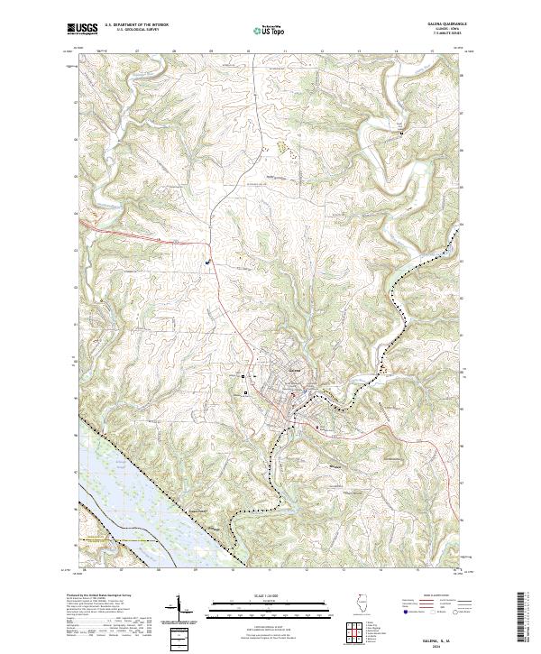
 - 2021 Map of Galena, 2021 Print
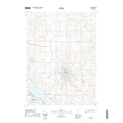 2021 Galena2021 Print · USGSCovers Dubuque County, including Galena, Bremen, and other nearby areas
 - 2022 Map of Cassville, 2022 Print
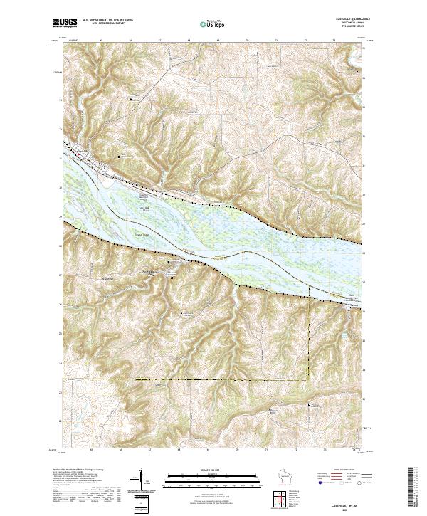 2022 Cassville2022 Print · USGSThe upper Mississippi River valley at the Wisconsin-Iowa border reveals a detailed network of islands and bluff-top settlements. Researchers can trace family history through sites like Saint Charles Cem or locate the Cassville Car Ferry and North Buena Vista.
 - 2022 Map of Potosi, 2022 Print
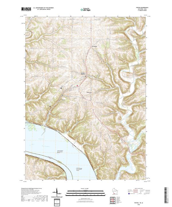 2022 Potosi2022 Print · USGSWisconsin's river bluffs and historic lead-mining settlements are mapped here as they appeared in recent years. Researchers can trace family roots at Saint Thomas Cem, explore the winding Potosi Canal, and locate the old sites of British Hollow and Rockville.
 - 2022 Map of Dubuque South, 2022 Print
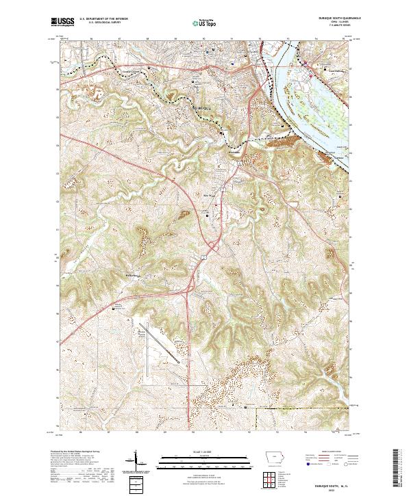 2022 Dubuque South2022 Print · USGSThe bluffs and riverfront of Dubuque come into focus during this modern era, tracing the city's expansion south toward the Jackson County line. Genealogists and local researchers can locate numerous burial sites like Mount Olivet Cem and landmarks such as the University of Dubuque.
 - 2022 Map of Bernard, 2022 Print
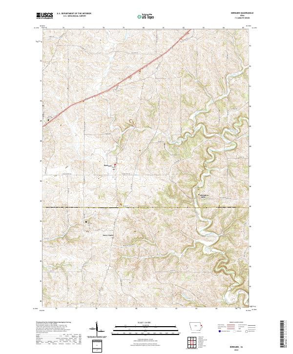 2022 Bernard2022 Print · USGSThe rural border of Dubuque and Jackson counties comes into focus in this contemporary survey of eastern Iowa. Researchers can trace the legacy of settlements like Garry Owen and Washington Mills or locate family sites near Saint Patricks Cem.
 - 2022 Map of Fillmore, 2022 Print
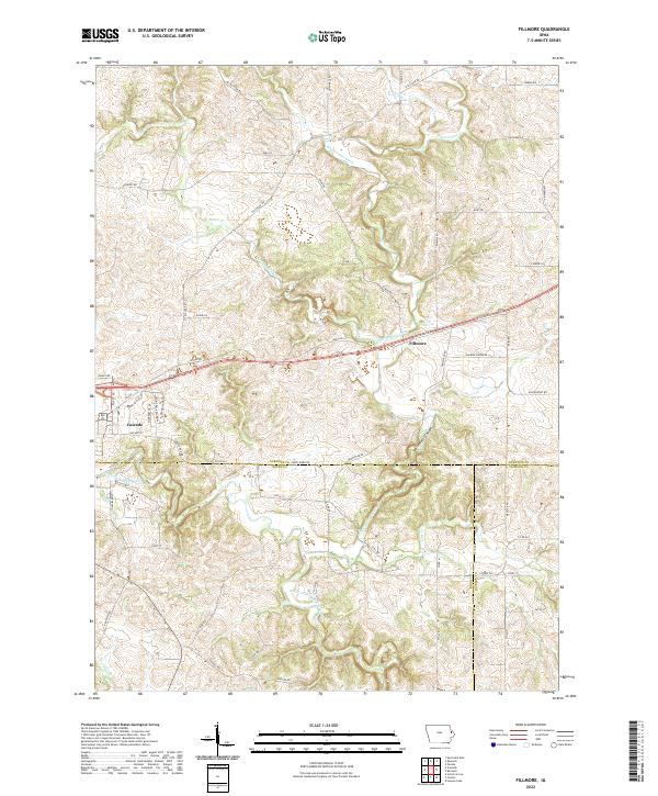 2022 Fillmore2022 Print · USGSThe tri-county border of Dubuque, Jones, and Jackson counties is captured here in recent years, centered on the North Fork Maquoketa River valley. Genealogists and hikers can trace old routes like Narrow Gauge Rd or explore the terrain surrounding Whitewater Canyon and Cascade.
 - 2022 Map of Peosta, 2022 Print
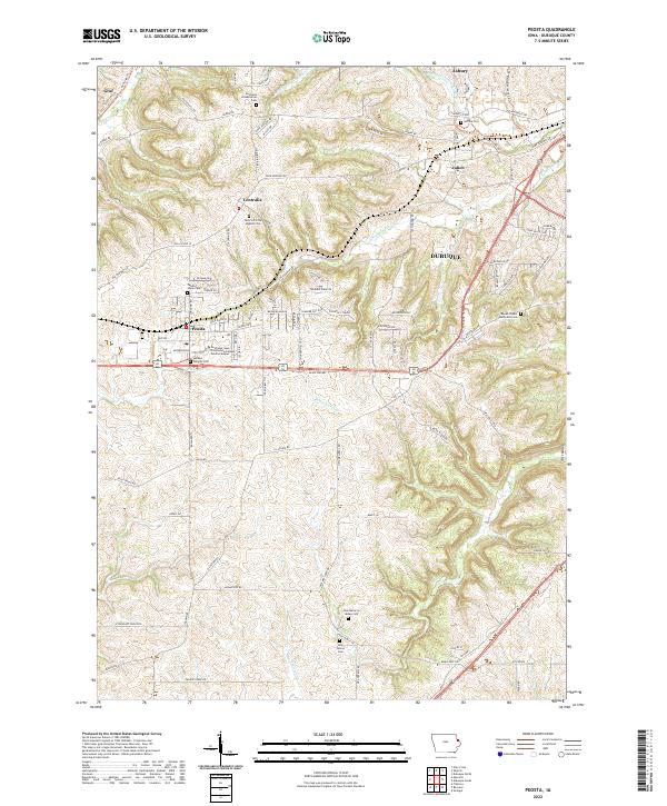 2022 Peosta2022 Print · USGSDubuque County’s rolling upland ridges and historic settlement clusters are mapped here in the modern era. Genealogists and local historians can trace family locations through numerous sites like Centralia Presbyterian Cem, Reeds Chapel Methodist Cem, and the community of Julien.
 - 2022 Map of Epworth, 2022 Print
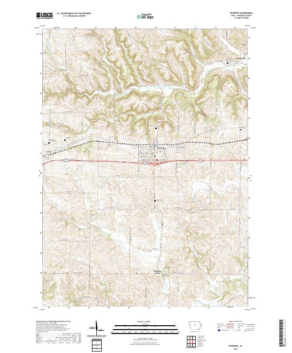 2022 Epworth2022 Print · USGSDubuque County’s rolling farmland and river valleys are captured here in the early twenty-first century. Genealogists can trace family roots through numerous burial sites like Hogan Cem, Highview Cem, and the historic Divine Word College.
 - 2022 Map of Dyersville West, 2022 Print
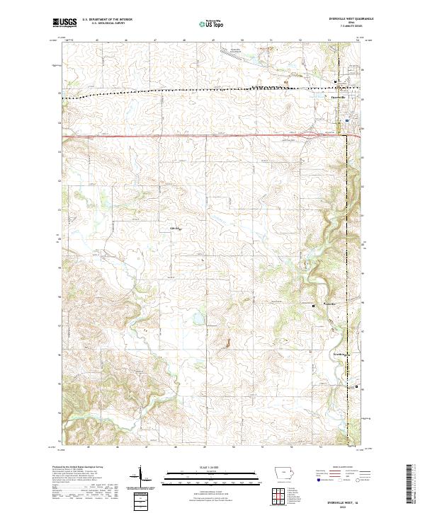 2022 Dyersville West2022 Print · USGSEastern Iowa’s agricultural heartland is documented here in the early twenty-first century, centered on the North Fork Maquoketa River valley. Researchers can trace rural cemeteries and smaller settlements like Gilt Edge, Rockville, and Worthington.
 - 2022 Map of Colesburg, 2022 Print
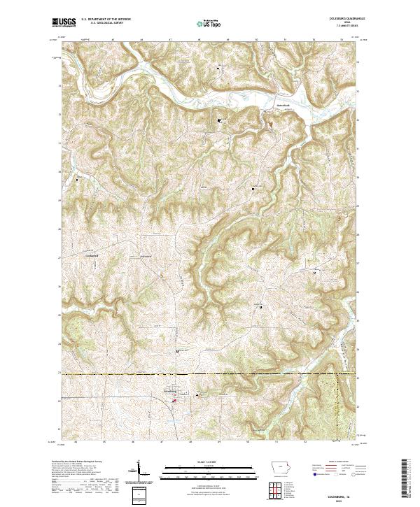 2022 Colesburg2022 Print · USGSThe tri-county border of Clayton, Delaware, and Dubuque counties comes alive in this survey of the deeply carved landscape around Colesburg. Genealogists and local historians can locate numerous rural burial sites like Oak Hill Cem and Hansel Cem or trace the winding course of the Turkey River.
 - 2022 Map of Dyersville East, 2022 Print
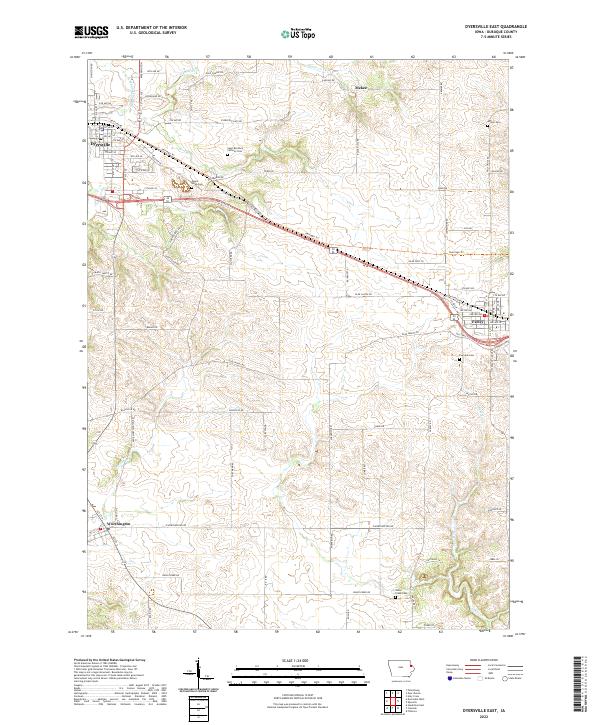 2022 Dyersville East2022 Print · USGSDubuque County in the early 2020s shows a landscape of established towns and rural corridors connected by the Heritage Trl. Researchers can pinpoint local family history at Saint Boniface Catholic Cem, Fairview Cem, and the quiet crossroads of Mekee.
 - 2022 Map of Hopkinton East, 2022 Print
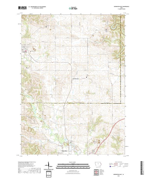 2022 Hopkinton East2022 Print · USGSThe river valleys of Delaware and Jones counties are detailed here in the early twenty-first century, showing the rural landscapes surrounding Monticello and Hopkinton. Genealogists can locate several local burial sites including Willard Cem, Sand Springs Cem, and Livingston Cem.
 - 2022 Map of Cascade, 2022 Print
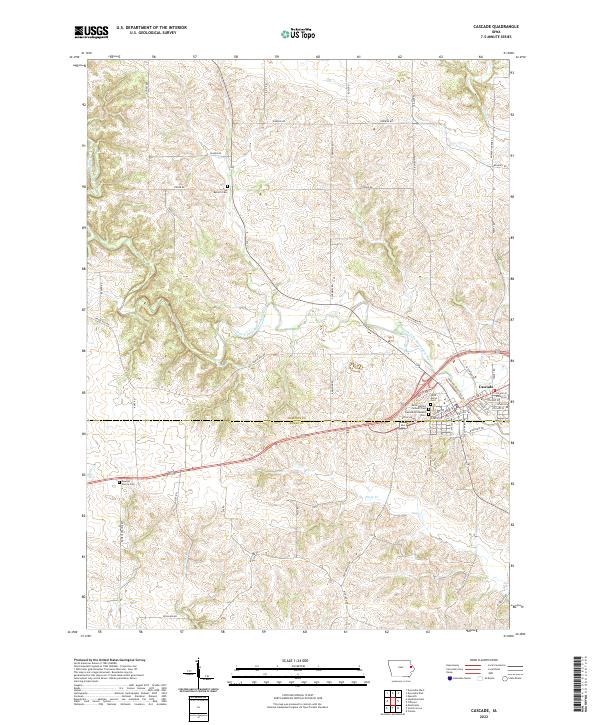 2022 Cascade2022 Print · USGSCascade is shown at the crossing of the North Fork Maquoketa River in the early 2020s, highlighting the town's position on the Dubuque and Jones County line. Researchers can trace local lineage through Saint Martins Catholic Cem, Bowens Prairie Cem, and Zion Reform Cem.
 - 2022 Map of New Vienna, 2022 Print
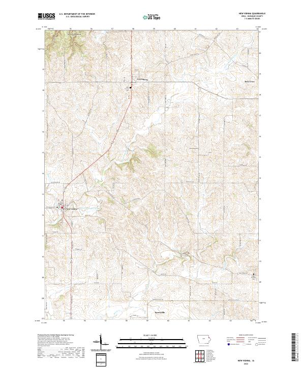 2022 New Vienna2022 Print · USGSDubuque County’s agricultural heartland is documented here in the modern era, centering on the heritage-rich communities of New Vienna and Luxemburg. Genealogists can locate family landmarks like the Fagen Property Cem or historic parishes including Saint Boniface and Holy Trinity.
 - 2022 Map of Sherrill, 2022 Print
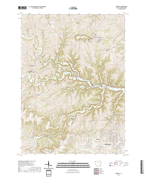 2022 Sherrill2022 Print · USGSThe ridges and river valleys northwest of Dubuque appear here in the early twenty-first century, showing a landscape of tightly clustered rural hamlets. Family historians can locate numerous burial sites such as Saints Peter and Paul Cem and Congregational Rock Cem.
 - 2022 Map of Zwingle, 2022 Print
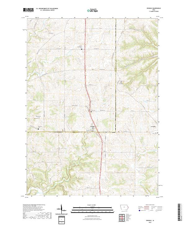 2022 Zwingle2022 Print · USGSEastern Iowa's rolling farmland comes into focus in this contemporary record of the Dubuque and Jackson County line. Genealogists can trace family heritage through local burial grounds like Presley Presbyterian Cemetery and Saint Theresa Cemetery.
 - 2022 Map of Holy Cross, 2022 Print
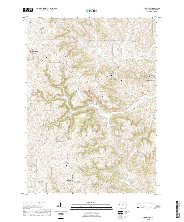 2022 Holy Cross2022 Print · USGSThe upland prairies and river valleys of Dubuque County are shown in this contemporary 2022 study. Researchers can trace rural cemeteries like Floyd Cem and Saint Clements Cem alongside family landmarks such as Wulfekuhle Rd.
 - 2022 Map of Dubuque North, 2022 Print
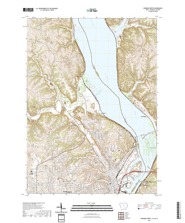 2022 Dubuque North2022 Print · USGSThe tri-state border region of Iowa, Wisconsin, and Illinois comes into sharp focus during the early 2020s. Researchers can trace the civic and educational heart of Dubuque at the Dubuque County Courthouse or explore the rugged topography of Bobs Hollow and Peru Bottoms.
 - 2022 Map of Balltown, 2022 Print
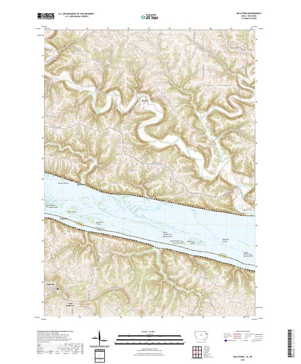 2022 Balltown2022 Print · USGSThe Upper Mississippi River valley at the Iowa-Wisconsin border reveals a landscape of high ridges and intricate backwaters. Researchers can trace the legacy of Balltown and Old Balltown near the Saint Francis of Assisi Cem, or explore the river islands like Hurricane Island and Mulligan Island.
 - 2022 Map of Petersburg, 2022 Print
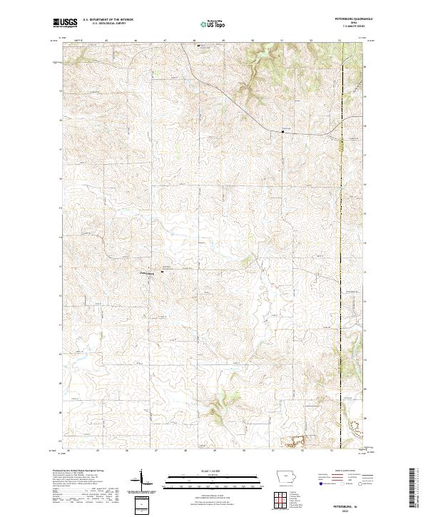 2022 Petersburg2022 Print · USGSPetersburg and the surrounding farmsteads of Delaware County are captured here in the early twenty-first century. Family historians can locate Saint Peter and Paul Cem and trace the winding paths of Little Turkey River and Bear Cr.
 - 2022 Map of Turkey River, 2022 Print
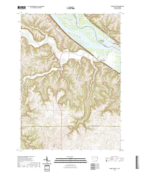 2022 Turkey River2022 Print · USGSThe Mississippi River and Turkey River meet at this tri-county border in the early 2020s, revealing a landscape of steep hollows and high ridges. Researchers can trace rural lineages through the Bierer and Redman cemeteries or locate the Cassville Car Ferry.
 - 2024 Map of Menominee, 2024 Print
 2024 Menominee2024 Print · USGSThe Illinois-Iowa borderlands along the Mississippi come into focus in this contemporary survey of Jo Daviess County. Genealogists and local historians can trace family landmarks like the Nativity of the Blessed Virgin Mary Ch, Saint Catherine Cem, and the riverfront settlement of Shawondasse.
 - 2024 Map of Galena, 2024 Print
 2024 Galena2024 Print · USGSThe riverfront city of Galena and the Mississippi backwaters are captured in this modern survey of Jo Daviess County. Genealogists can locate several historic burial sites like Greenwood Cemetery and Saint Michaels Cemetery, while tracing the terrain around Horseshoe Mound.
End of results
Showing maps 1-24 of 24
Top cities of Dubuque County
- Dubuque historical maps
- Asbury historical maps
- Cascade historical maps
- Epworth historical maps
- Peosta historical maps
- Farley historical maps
See more
Frequently asked questions
- What are the different types of historical maps available for Dubuque County?
- What is the oldest map of Dubuque County?
- Where can I purchase historical maps of Dubuque County for my home or office?
- Where can I download high-res historical maps of Dubuque County?
- Are there historical topographic maps available for Dubuque County?
- Is there historical aerial imagery available for Dubuque County?
- Where are historical maps of Dubuque County sourced from?