1900s (20th Century) Maps of Latimer, Iowa
Explore 6 historic maps of Latimer from the 1900s (20th Century). These maps offer a rare glimpse into what life looked like during the 1900s — showing old roads, neighborhoods, homes, and landmarks that have changed or disappeared over time.
Whether you're researching your family's past, planning a metal detecting trip, or studying how Latimer's landscape evolved across the 1900s, these high-resolution maps are a powerful tool for exploring the history of this region.
- Focus on a specific era: All maps on this page are from the 1900s, giving you a focused view of this time period.
- See what’s changed: Compare century-old streets, trails, and buildings to today's modern landscape using overlays and satellite layers.
- Research with precision: Use these maps for genealogy, historical research, land use analysis, or educational projects.
- View, download, or print: Maps are fully viewable online in high resolution, and can be downloaded or printed for your own records.
Start exploring Latimer's history through authentic maps from the 1900s. This is your window into the past.
Latimer, IA maps
(6)- 1954 Map of Waterloo, 1968 Print
 1954 Waterloo1968 Print · USGSCentral Iowa at the height of its mid-century agricultural and rail boom features the growing hubs of Waterloo and Cedar Falls. Genealogists and researchers can trace the rail corridors of the Chicago Great Western and find local landmarks like Iowa State College and Brushy Ridge.4 unique versions available
 - 1955 Map of Waterloo
 1955 Waterloo1955 Print · USGSCentral Iowa in the mid-fifties presents a dense landscape of rail-connected farming towns and growing river cities. Researchers can trace ancestral roots and old transport routes through Waterloo, Marshalltown, and Ames, while locating rural Cemeteries and local Quarries.2 unique versions available
 - 1972 Map of Alexander, 1975 Print
 1972 Alexander1975 Print · USGSFranklin and Wright counties are shown in the early seventies as the town of Alexander grew alongside the Chicago and North Western railroad. Trace local landmarks like Loomis Memorial Park, the Cem, and an Old Railroad Grade.
 - 1972 Map of Latimer, 1975 Print
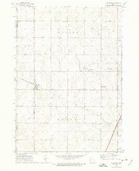
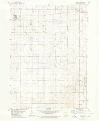
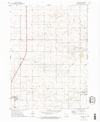 1972 Latimer1975 Print · USGSIn the early seventies, the rural landscape of Franklin County was undergoing significant infrastructure changes. Researchers can trace family history at Old Chapin Cem, follow the Old Railroad Grade, or explore the grounds of Beeds Lake State Park.
 - 1979 Map of Coulter, 1980 Print
 1979 Coulter1980 Print · USGSFranklin County's rural townships are documented here during the late 1970s, showcasing the area's agricultural and transit infrastructure. Researchers can trace the Chicago and North Western Railroad Grade and find local landmarks like St Johns Ch and Maynes Grove Cem.
 - 1984 Map of Iowa Falls, 1985 Print
 1984 Iowa Falls1985 Print · USGSNorth-central Iowa is documented here during the mid-eighties, showing a landscape of traditional rail towns and extensive wildlife management areas. Researchers can trace family history through settlements like Belmond, Dows, and Ackley, or locate landmarks like Beeds Lake State Park.2 unique versions available
End of results
Showing maps 1-6 of 6
Top cities near Latimer
- Iowa Falls historical maps
- Hampton historical maps
- Belmond historical maps
- Sheffield historical maps
- Rockwell historical maps
- Dows historical maps
See more
Frequently asked questions
- What are the different types of historical maps available for Latimer?
- What is the oldest map of Latimer?
- Where can I purchase historical maps of Latimer for my home or office?
- Where can I download high-res historical maps of Latimer?
- Are there historical topographic maps available for Latimer?
- Is there historical aerial imagery available for Latimer?
- Where are historical maps of Latimer sourced from?