1900s (20th Century) Maps of Hamilton County, Iowa
Explore 28 historic maps of Hamilton County from the 1900s (20th Century). These maps offer a rare glimpse into what life looked like during the 1900s — showing old roads, neighborhoods, homes, and landmarks that have changed or disappeared over time.
Whether you're researching your family's past, planning a metal detecting trip, or studying how Hamilton County's landscape evolved across the 1900s, these high-resolution maps are a powerful tool for exploring the history of this region.
- Focus on a specific era: All maps on this page are from the 1900s, giving you a focused view of this time period.
- See what’s changed: Compare century-old streets, trails, and buildings to today's modern landscape using overlays and satellite layers.
- Research with precision: Use these maps for genealogy, historical research, land use analysis, or educational projects.
- View, download, or print: Maps are fully viewable online in high resolution, and can be downloaded or printed for your own records.
Start exploring Hamilton County's history through authentic maps from the 1900s. This is your window into the past.
Hamilton County, IA maps
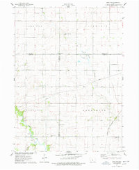
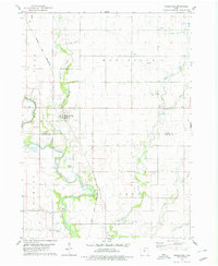
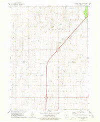
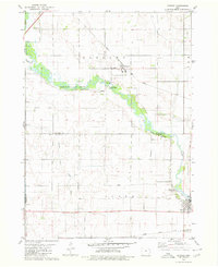
(28)- 1912 Map of Ames, 1956 Print
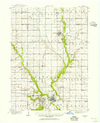 1912 Ames1956 Print · USGSCovers Hamilton County, including Ames, Nevada, and other nearby areas3 unique versions available
 - 1914 Map of Ames
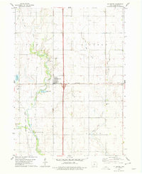
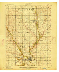 1914 Ames1914 Print · USGSCovers Hamilton County, including Ames, Nevada, and other nearby areas3 unique versions available
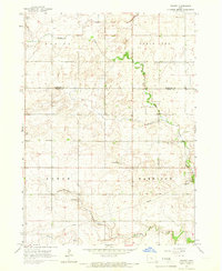
 - 1916 Map of Boone
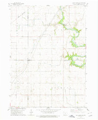
 1916 Boone1916 Print · USGSCovers Hamilton County, including Boone, Fraser, and other nearby areas3 unique versions available
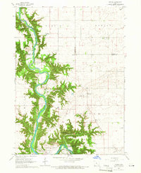
 - 1954 Map of Waterloo, 1968 Print
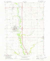
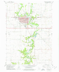
 1954 Waterloo1968 Print · USGSCovers Hamilton County, including Waterloo, Ames, and other nearby areas4 unique versions available
 - 1955 Map of Waterloo
 1955 Waterloo1955 Print · USGSCovers Hamilton County, including Waterloo, Ames, and other nearby areas2 unique versions available
 - 1965 Map of Mackey, 1966 Print
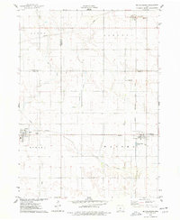
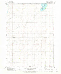
 1965 Mackey1966 Print · USGSCovers Hamilton County, including Harrison Township, Mackey, and other nearby areas
 - 1965 Map of Fraser, 1966 Print
 1965 Fraser1966 Print · USGSCovers Hamilton County, including Fraser, Yell Township, and other nearby areas
 - 1975 Map of Ames NW, 1978 Print
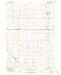
 1975 Ames NW1978 Print · USGSCovers Hamilton County, including Harrison Township, Lafayette Township, and other nearby areas
 - 1975 Map of Story City, 1978 Print
 1975 Story City1978 Print · USGSCovers Hamilton County, including Story City, Roland, and other nearby areas
 - 1975 Map of Mc Callsburg, 1978 Print
 1975 Mc Callsburg1978 Print · USGSCovers Hamilton County, including Roland, McCallsburg, and other nearby areas
 - 1978 Map of Blairsburg, 1979 Print
 1978 Blairsburg1979 Print · USGSCovers Hamilton County, including Kamrar, Blairsburg, and other nearby areas
 - 1978 Map of Woolstock, 1979 Print
 1978 Woolstock1979 Print · USGSCovers Hamilton County, including Woolstock, Cass Township, and other nearby areas
 - 1978 Map of Ellsworth, 1979 Print
 1978 Ellsworth1979 Print · USGSCovers Hamilton County, including Jewell Junction, Ellsworth, and other nearby areas
 - 1978 Map of Eagle Grove SW, 1979 Print
 1978 Eagle Grove SW1979 Print · USGSCovers Hamilton County, including Colfax Township, Newark Township, and other nearby areas
 - 1978 Map of Webster City, 1979 Print
 1978 Webster City1979 Print · USGSCovers Hamilton County, including Webster City, Independence Township, and other nearby areas
 - 1978 Map of Sheldon Creek, 1979 Print
 1978 Sheldon Creek1979 Print · USGSCovers Hamilton County, including Williams, Blairsburg Township, and other nearby areas
 - 1978 Map of Stanhope, 1979 Print
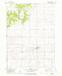 1978 Stanhope1979 Print · USGSCovers Hamilton County, including Stanhope, Clear Lake Township, and other nearby areas
 - 1978 Map of Jewell, 1979 Print
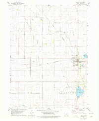 1978 Jewell1979 Print · USGSCovers Hamilton County, including Jewell Junction, Jewell, and other nearby areas
 - 1978 Map of Clarion SW, 1979 Print
 1978 Clarion SW1979 Print · USGSCovers Hamilton County, including Blairsburg Township, Cass Township, and other nearby areas
 - 1978 Map of Duncombe, 1979 Print
 1978 Duncombe1979 Print · USGSCovers Hamilton County, including Duncombe, Highview, and other nearby areas
 - 1978 Map of Stratford, 1979 Print
 1978 Stratford1979 Print · USGSCovers Hamilton County, including Stratford, Webster Township, and other nearby areas
 - 1978 Map of Williams, 1979 Print
 1978 Williams1979 Print · USGSCovers Hamilton County, including Williams, Blairsburg Township, and other nearby areas
 - 1979 Map of Buckeye West, 1980 Print
 1979 Buckeye West1980 Print · USGSCovers Hamilton County, including Alden, Buckeye, and other nearby areas
 - 1979 Map of Popejoy, 1980 Print
 1979 Popejoy1980 Print · USGSCovers Hamilton County, including Alden, Popejoy, and other nearby areas
 - 1979 Map of Radcliffe, 1980 Print
 1979 Radcliffe1980 Print · USGSCovers Hamilton County, including Radcliffe, Scott Township, and other nearby areas
Showing maps 1-25 of 28
Top cities of Hamilton County
Frequently asked questions
- What are the different types of historical maps available for Hamilton County?
- What is the oldest map of Hamilton County?
- Where can I purchase historical maps of Hamilton County for my home or office?
- Where can I download high-res historical maps of Hamilton County?
- Are there historical topographic maps available for Hamilton County?
- Is there historical aerial imagery available for Hamilton County?
- Where are historical maps of Hamilton County sourced from?