2020s Maps of Hamilton County, Iowa
Explore 20 historic maps of Hamilton County from the 2020s. These maps offer a rare glimpse into what life looked like during the 2020s — showing old roads, neighborhoods, homes, and landmarks that have changed or disappeared over time.
Whether you're researching your family's past, planning a metal detecting trip, or studying how Hamilton County's landscape evolved across the 2020s, these high-resolution maps are a powerful tool for exploring the history of this region.
- Focus on a specific era: All maps on this page are from the 2020s, giving you a focused view of this time period.
- See what’s changed: Compare century-old streets, trails, and buildings to today's modern landscape using overlays and satellite layers.
- Research with precision: Use these maps for genealogy, historical research, land use analysis, or educational projects.
- View, download, or print: Maps are fully viewable online in high resolution, and can be downloaded or printed for your own records.
Start exploring Hamilton County's history through authentic maps from the 2020s. This is your window into the past.
Hamilton County, IA maps
(20)- 2022 Map of Radcliffe, 2022 Print
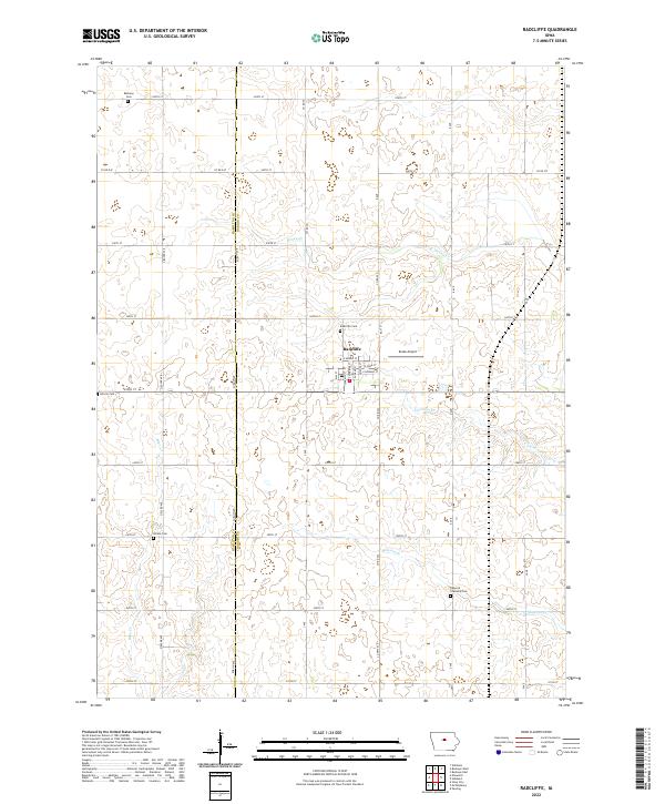 2022 Radcliffe2022 Print · USGSThe rural landscape surrounding Radcliffe is captured here during the early 2020s, showing the intersection of long-standing family farmsteads and modern aviation. Researchers can locate several pioneer-era burial sites like Rorem Cem and Lincoln Cem along the quiet reaches of Bear Cr.
 - 2022 Map of Jewell, 2022 Print
 2022 Jewell2022 Print · USGSJewell and the surrounding Hamilton County farmland are shown here in the early twenty-first century, featuring a landscape defined by industrial-scale drainage. Genealogists and local historians can trace the streets of Jewell Junction, locate Evergreen Cem, and map the extent of Little Wall Lake.
 - 2022 Map of Stanhope, 2022 Print
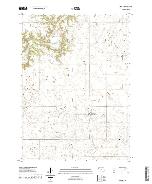 2022 Stanhope2022 Print · USGSHamilton County agricultural lands and the community of Stanhope are shown here in the early twenty-first century. Genealogists and researchers can locate established burial grounds like Saratoga Cem and Lawn Hill Cem tucked between the Boone River and local drainage ditches.
 - 2022 Map of Woolstock, 2022 Print
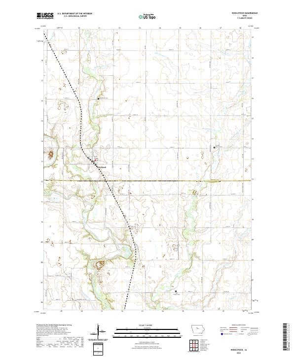 2022 Woolstock2022 Print · USGSWoolstock and the fertile borderlands of Wright and Hamilton counties are shown in this recent topographic study. Researchers can trace family roots at Woolstock Cem and French Church Cem or follow the waters of the Boone River and White Fox Cr.
 - 2022 Map of Eagle Grove SW, 2022 Print
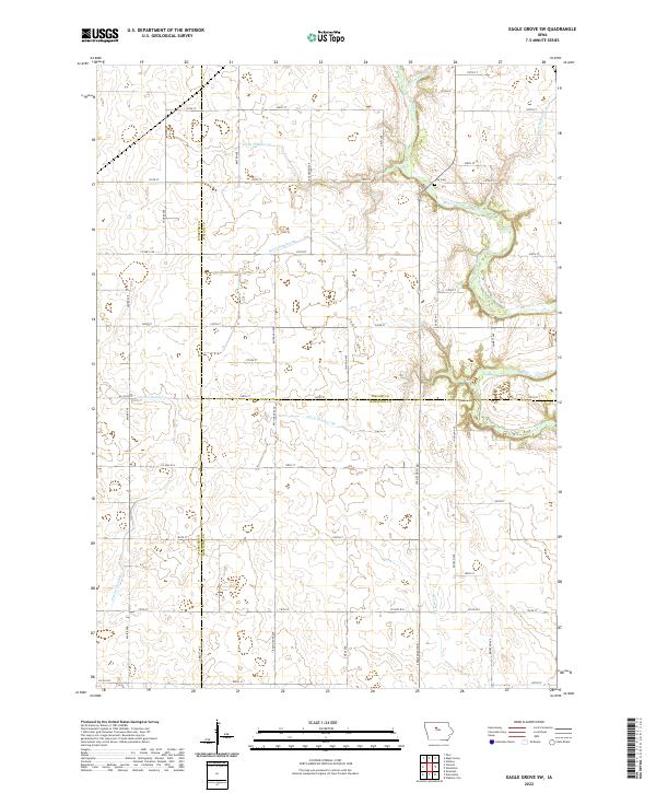 2022 Eagle Grove SW2022 Print · USGSNorth Central Iowa’s prairie landscape is captured here in the early twenty-first century, showing the intersection of three counties and their intensive agricultural development. Researchers can trace land use through the intricate drainage system of Ditch Number 86 or locate family sites near Troy Cem and the Boone River.
 - 2022 Map of Ames NW, 2022 Print
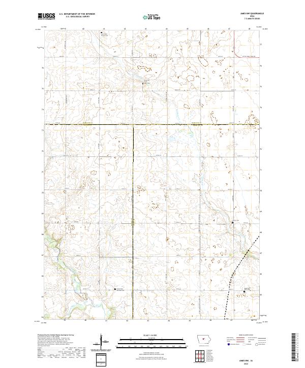 2022 Ames NW2022 Print · USGSCentral Iowa farmland where Story, Boone, and Hamilton Counties meet is captured here in the early 2020s. Genealogists can locate family landmarks like Center Cem, Ellsworth Clear Lake Cem, and the waters of Ioway Creek.
 - 2022 Map of Popejoy, 2022 Print
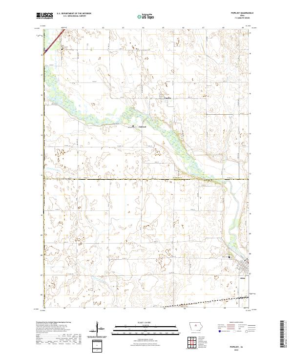 2022 Popejoy2022 Print · USGSFranklin and Hardin counties are seen here in the early twenty-first century, centered on the river-fed agricultural plains of Iowa. Researchers can trace family history through local burial sites like Oak Hill Cem and the riverfront street grid of Alden.
 - 2022 Map of Fraser, 2022 Print
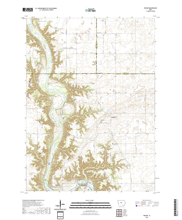 2022 Fraser2022 Print · USGSThe Des Moines River valley in Boone County comes alive in this contemporary survey of central Iowa's rural landscape. Researchers can locate numerous historic burial sites such as Mineral Ridge Cem and Shafer Gear Cem near the settlement of Fraser.
 - 2022 Map of Clarion SW, 2022 Print
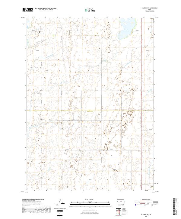 2022 Clarion SW2022 Print · USGSWright and Hamilton counties are shown in this modern survey as a highly engineered agricultural landscape defined by prairie water management. Genealogists and researchers can trace rural property boundaries along Big Wall Lake, Lyons Cr, and Ditch Number 144.
 - 2022 Map of McCallsburg, 2022 Print
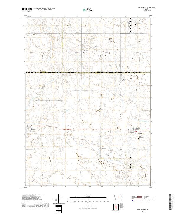 2022 McCallsburg2022 Print · USGSMcCallsburg and Roland are shown during their modern era at the junction of Story, Hamilton, and Hardin counties. Researchers can locate several family and church burial grounds like Warren Township Cem or follow the path of the Prairie Rail Trl through the agricultural grid.
 - 2022 Map of Stratford, 2022 Print
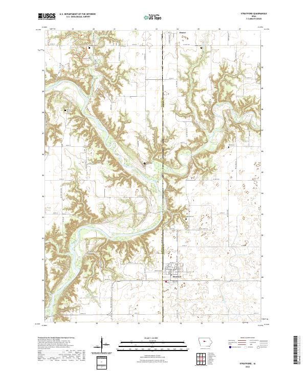 2022 Stratford2022 Print · USGSStratford and the Des Moines River valley appear here in their modern context at the junction of Webster and Hamilton counties. Researchers can trace numerous rural burial grounds and family landmarks like Vegors Cem, Homer Cem, and the old settlement of Homer.
 - 2022 Map of Mackey, 2022 Print
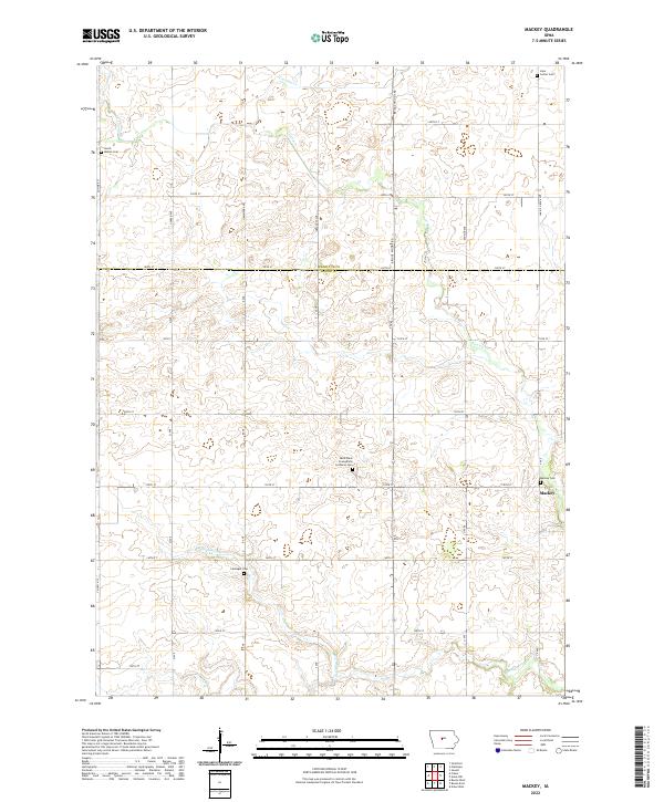 2022 Mackey2022 Print · USGSMackey and the surrounding townships on the Boone-Hamilton county line are shown here in recent years. Genealogists can locate several local burial sites like Saint Pauls Evangelical Lutheran Cem, Mackey Cem, and Leininger Cem.
 - 2022 Map of Duncombe, 2022 Print
 2022 Duncombe2022 Print · USGSThe farmlands of eastern Webster County are mapped here in the early twenty-first century, centered on the town of Duncombe. Genealogists and historians can locate several burial sites like Saint Josephs Cem and trace recreation paths such as Big Rock Trl near Brushy Creek.
 - 2022 Map of Blairsburg, 2022 Print
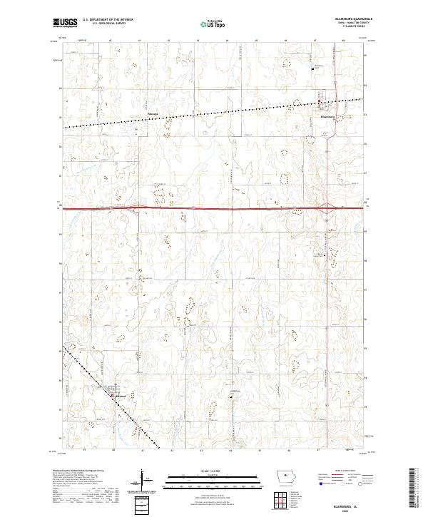 2022 Blairsburg2022 Print · USGSThe agricultural plains of Hamilton County are shown in great detail during the early 2020s, revealing a landscape defined by drainage and rail. Trace the path of the Northwestern Line through Stonega or locate ancestral sites at Blairsburg Cem and Liberty Center Cem.
 - 2022 Map of Buckeye West, 2022 Print
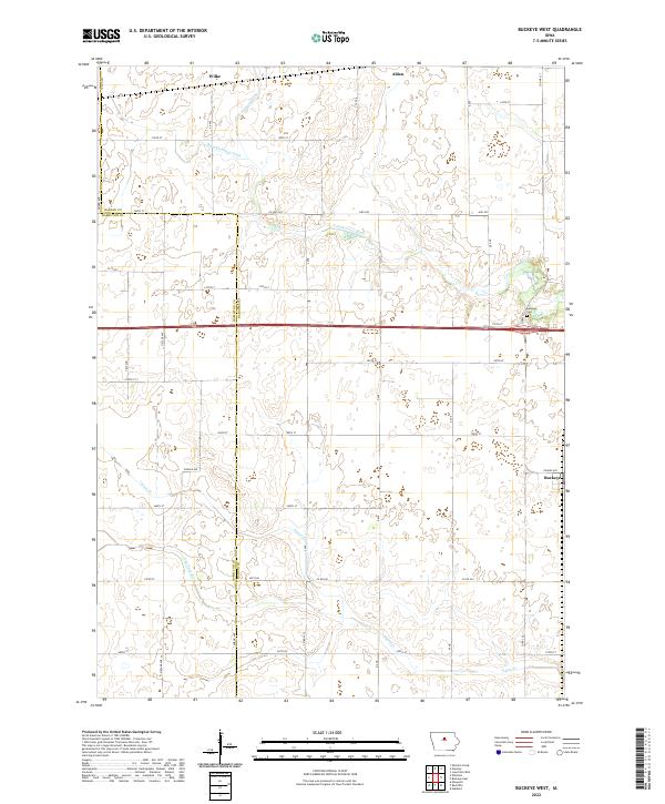 2022 Buckeye West2022 Print · USGSHardin and Hamilton counties are shown here as they appeared recently, defined by a grid of farm-to-market roads and prairie drainage systems. Genealogists and local historians can trace the area around Buckeye and Wilke, including the Buckeye Cem and the course of the S Fork Iowa River.
 - 2022 Map of Ellsworth, 2022 Print
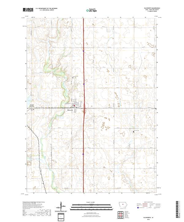 2022 Ellsworth2022 Print · USGSHamilton County farmland and the Skunk River valley are captured here in the early twenty-first century. Genealogists and local historians can locate family plots at Homewood Cem or Greenwood Cem and trace the landscape between Jewell and Ellsworth.
 - 2022 Map of Webster City, 2022 Print
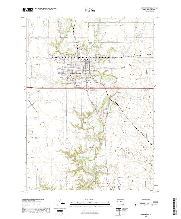 2022 Webster City2022 Print · USGSWebster City and the surrounding Hamilton County farmland are shown here in the early 2020s. Researchers can trace the civic heart of the area near the Hamilton County Courthouse or locate family plots at Graceland Cem and Calvary Cem.
 - 2022 Map of Sheldon Creek, 2022 Print
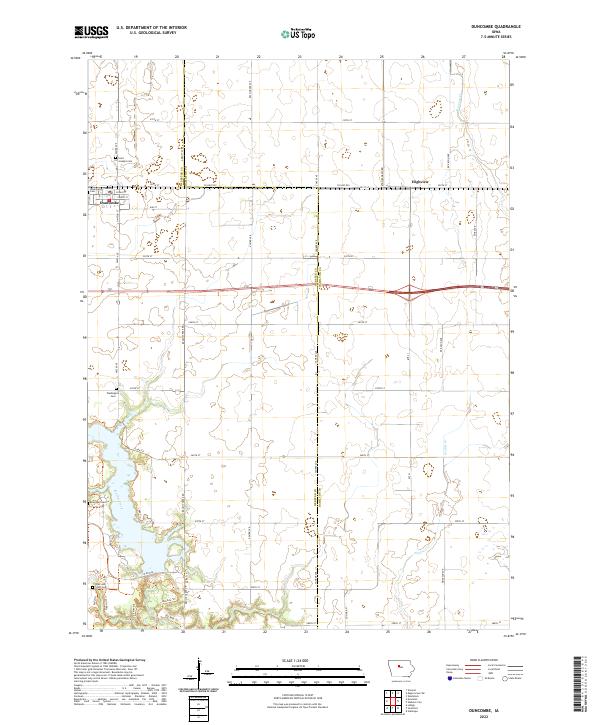
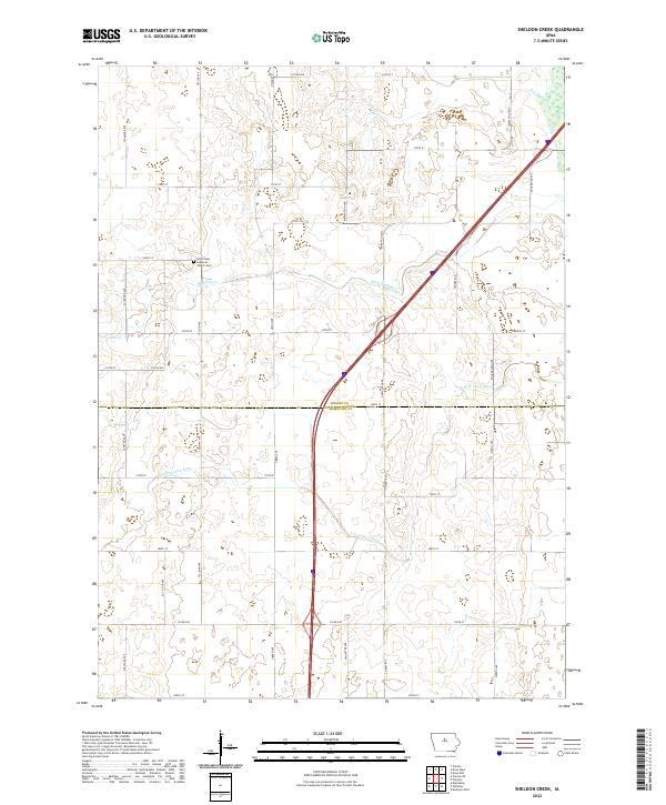 2022 Sheldon Creek2022 Print · USGSWright and Hamilton Counties are shown here in the 2020s, dominated by the winding South Fork and a vast network of section-line roads. Genealogists can locate family landmarks like Saint Pauls Lutheran Cem or trace local waterways including Sheldon Creek and Ditch Number 29.
 - 2022 Map of Williams, 2022 Print
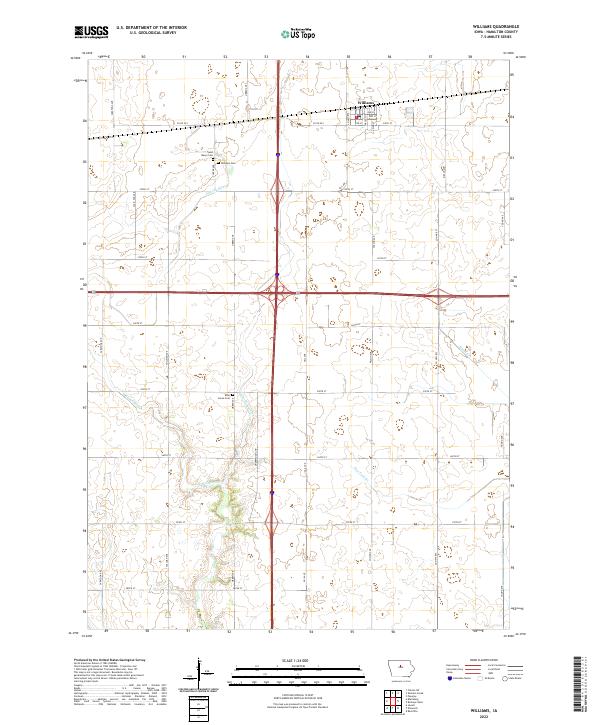 2022 Williams2022 Print · USGSThe town of Williams and the surrounding Hamilton County farmsteads are shown in detail as they appeared recently. Genealogists can locate Rose Grove Cem and Saint Marys Cem tucked between the S Skunk River and rural county highways.
 - 2022 Map of Story City, 2022 Print
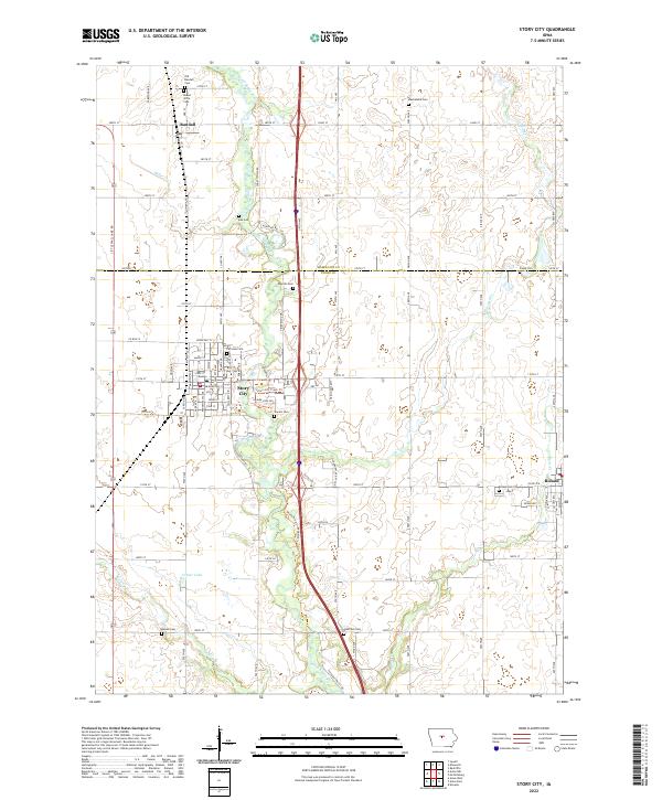 2022 Story City2022 Print · USGSThe Story County and Hamilton County borderland comes alive in this contemporary survey of the South Skunk River valley. Genealogists and local historians can trace family roots through numerous sites like Old Randall Cem, Fairview Cem, and Boe Cem.
End of results
Showing maps 1-20 of 20
Top cities of Hamilton County
Frequently asked questions
- What are the different types of historical maps available for Hamilton County?
- What is the oldest map of Hamilton County?
- Where can I purchase historical maps of Hamilton County for my home or office?
- Where can I download high-res historical maps of Hamilton County?
- Are there historical topographic maps available for Hamilton County?
- Is there historical aerial imagery available for Hamilton County?
- Where are historical maps of Hamilton County sourced from?