Old Maps of Modale, Iowa for Academic Research
Study the evolution of Modale with 16 high-resolution historic maps. Whether you're teaching, researching, or modeling changes in land use, these maps provide essential visual documentation of urban, environmental, and geographic change.
- Analyze long-term change: Track patterns in development, transportation, and natural features.
- Ideal for environmental or urban studies: Support academic projects with primary historical map data.
- Use in the classroom or lab: Educators and researchers rely on these maps to bring historical context to life.
These maps are a powerful tool for teaching, research, and visualizing how Modale has changed over the decades.
Modale, IA maps
(16)- 1955 Map of Fremont, 1966 Print
 1955 Fremont1966 Print · USGSEastern Nebraska and the Missouri River border are captured during the mid-fifties, just as the interstate system began to emerge. Researchers can trace the development of Omaha, locate the sprawling Offutt Air Force Base, or study the river-bound ecology of the De Soto National Wildlife Refuge.3 unique versions available
 - 1957 Map of Fremont
 1957 Fremont1957 Print · USGSEastern Nebraska and western Iowa thrive along the Platte and Missouri rivers during the mid-fifties. Genealogists can locate small rural schools like Fairview School and tracing the paths of the Union Pacific through towns like Albion and Humphrey.
 - 1958 Map of Fremont
 1958 Fremont1958 Print · USGSEastern Nebraska in the late fifties is captured here as a thriving corridor of river-valley commerce and rail transport. Researchers can trace the development of Omaha and Fremont or locate local landmarks like Midland College and Offutt Air Force Base.
 - 1970 Map of Mondamin, 1972 Print
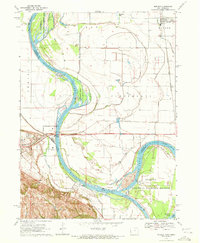
 1970 Mondamin1972 Print · USGSThe Missouri River floodplain of western Iowa is captured here in the early seventies, showing a landscape of managed drainage and rail transit. Genealogists and researchers can trace the roads around Mondamin, find the Noyes Cem, and explore the marshes of Round Lake.
 - 1970 Map of Modale, 1972 Print
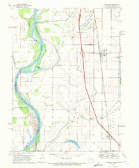
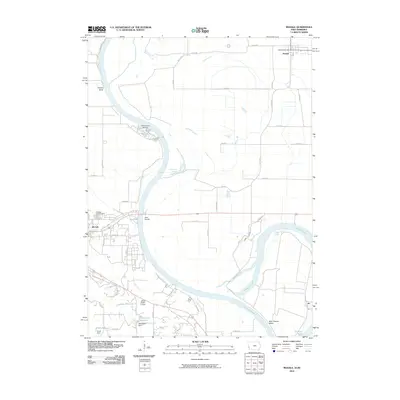
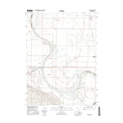
 1970 Modale1972 Print · USGSThe Missouri River floodplain on the Iowa-Nebraska border comes alive in this early 1970s survey. Researchers can trace river changes at De Soto Lake and locate local landmarks like the Fort Calhoun Powerplant and Blair Cem.2 unique versions available
 - 1986 Map of Blair
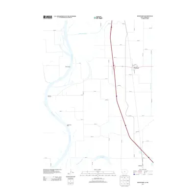
 1986 Blair1986 Print · USGSEastern Nebraska and the Iowa borderlands are captured here in the mid-eighties, showing the established river-and-rail network. Genealogists and historians can trace the foundations of Blair, West Point, and Tekamah, or locate smaller sites like Fontanelle and Scribner.2 unique versions available
 - 2010 Map of Mondamin, 2010 Print
 2010 Mondamin2010 Print · USGSCovers Modale, including Mondamin, Washington County, and other nearby areas
 - 2010 Map of Modale, 2010 Print
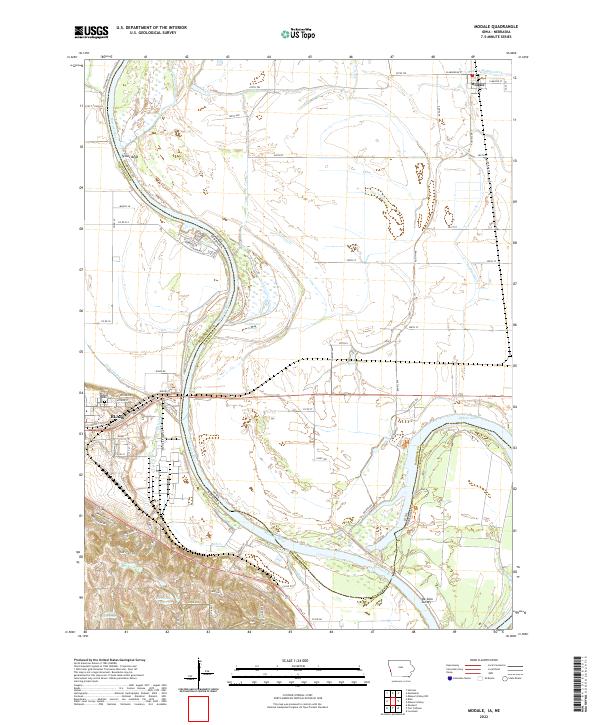
 2010 Modale2010 Print · USGSCovers Modale, including Blair, Pottawattamie County, and other nearby areas
 - 2013 Map of Mondamin, 2013 Print
 2013 Mondamin2013 Print · USGSCovers Modale, including Mondamin, Washington County, and other nearby areas
 - 2013 Map of Modale, 2013 Print
 2013 Modale2013 Print · USGSCovers Modale, including Blair, Pottawattamie County, and other nearby areas
 - 2015 Map of Mondamin, 2015 Print
 2015 Mondamin2015 Print · USGSCovers Modale, including Mondamin, Washington County, and other nearby areas
 - 2015 Map of Modale, 2015 Print
 2015 Modale2015 Print · USGSCovers Modale, including Blair, Pottawattamie County, and other nearby areas
 - 2018 Map of Modale, 2018 Print
 2018 Modale2018 Print · USGSCovers Modale, including Blair, Pottawattamie County, and other nearby areas
 - 2018 Map of Mondamin, 2018 Print
 2018 Mondamin2018 Print · USGSCovers Modale, including Mondamin, Washington County, and other nearby areas
 - 2022 Map of Modale, 2022 Print
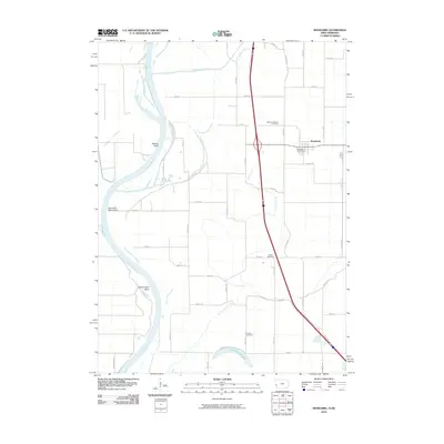
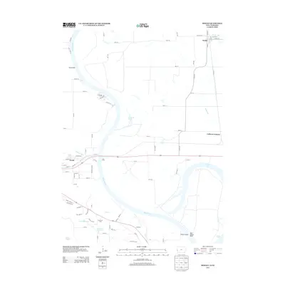
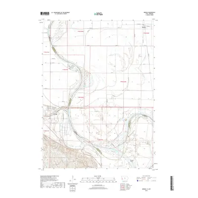
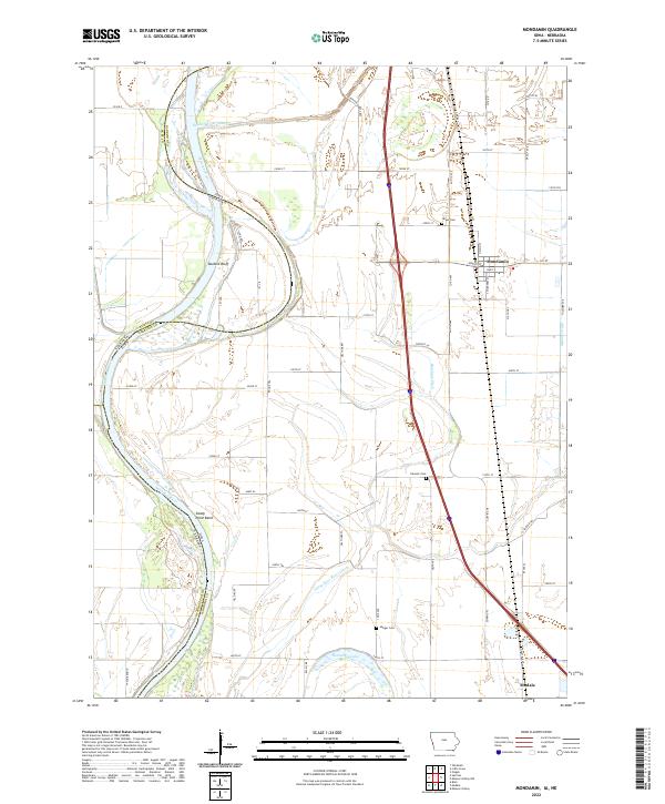
 2022 Modale2022 Print · USGSThe Missouri River valley at the Iowa-Nebraska border comes into focus in this recent survey. Local historians can trace the relationship between the town of Modale and the city of Blair, alongside landmarks like Blair Cem and the Modale Ditch.
 - 2022 Map of Mondamin, 2022 Print
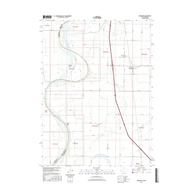
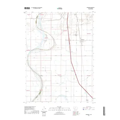
 2022 Mondamin2022 Print · USGSThe Missouri River bottoms of Harrison County are captured here in the early twenty-first century, showing a landscape defined by water management and river engineering. Genealogists can locate family sites near Noyes Cem, Yutesler Cem, or the small settlements of Mondamin and Modale.
End of results
Showing maps 1-16 of 16
Top cities near Modale
- Blair historical maps
- Missouri Valley historical maps
- Tekamah historical maps
- Logan historical maps
- Fort Calhoun historical maps
- Arizona historical maps
See more
Frequently asked questions
- What are the different types of historical maps available for Modale?
- What is the oldest map of Modale?
- Where can I purchase historical maps of Modale for my home or office?
- Where can I download high-res historical maps of Modale?
- Are there historical topographic maps available for Modale?
- Is there historical aerial imagery available for Modale?
- Where are historical maps of Modale sourced from?