Old Maps of Olin, Iowa for Genealogy
Trace your family roots with 26 historic maps of Olin. These high-res maps reveal old neighborhoods, homesites, landmarks, and streets — helping you uncover where your ancestors lived and how the area evolved over time.
- Explore historic neighborhoods: Identify where your relatives may have lived in the 1800s or 1900s.
- Compare maps over time: Trace the changes in streets, buildings, and landmarks for multi-generational research.
- Perfect for genealogy & ancestry research: Used by family historians and researchers to map out lineage and migration.
These maps are an incredible resource for exploring your personal connection to Olin's past.
Olin, IA maps
(26)- 1889 Map of Tipton
 1889 Tipton1889 Print · USGSCedar County at the close of the nineteenth century was a landscape shaped by two major rail lines. Genealogists and local historians can trace the early town plats of Tipton, Mechanicsville, and Stanwood, alongside landmarks like Sugar Creek and the Chicago and North-Western Railroad.
 - 1890 Map of Tipton
 1890 Tipton1890 Print · USGSCedar County in the late nineteenth century is captured here as a thriving rail-centered landscape. Genealogists and local historians can trace the early grids of Tipton, Mechanicsville, and Stanwood along the tracks of the Chicago and North-Western Railroad.2 unique versions available
 - 1891 Map of Monticello
 1891 Monticello1891 Print · USGSJones County at the peak of the rail era shows a landscape organized by iron rails and river bends. Trace the junctions and early plats of Monticello, Center Junction, and Wyoming along the Chicago and North Western Railroad.3 unique versions available
 - 1900 Map of Anamosa
 1900 Anamosa1900 Print · USGSEastern Iowa is shown here during the peak of its rail-driven development at the end of the century. Genealogists and historians can trace the early layouts of Anamosa and Monticello or locate smaller settlements like Sand Spring and Rockville.4 unique versions available
 - 1901 Map of Stanwood
 1901 Stanwood1901 Print · USGSEastern Iowa is defined by its fertile plains and busy rail corridors at the turn of the century. Genealogists and historians can trace the early layouts of Tipton, West Liberty, and Mt. Vernon, alongside vanished stopping points like Lime City and Walden.2 unique versions available
 - 1958 Map of Davenport, 1968 Print
 1958 Davenport1968 Print · USGSEastern Iowa and western Illinois thrive along the river during the late fifties, defined by the industrial Quad Cities and a robust rail network. Genealogists can trace family roots through settlements like Oasis and Stanwood or along the Cedar River.2 unique versions available
 - 1959 Map of Dubuque, 1982 Print
 1959 Dubuque1982 Print · USGSThe Tri-State region comes alive in the mid-twentieth century as a hub of river commerce and rail transit. Genealogists and historians can trace the paths of the Illinois Central Gulf through Dubuque or locate the Savanna Ordnance Depot and Lock and Dam No 11.
 - 1961 Map of Dubuque
 1961 Dubuque1961 Print · USGSThe Tri-State region's river-and-rail landscape is captured here during the early sixties, showing the convergence of Iowa, Illinois, and Wisconsin. Trace mid-century rail lines like the Chicago Great Western Ry and explore sites like the Savanna Ordnance Depot and Backbone State Park.
 - 1961 Map of Davenport
 1961 Davenport1961 Print · USGSThe Quad Cities and the eastern Iowa riverlands are captured here in the early sixties, showing the region's transition into a modern industrial and transit hub. Genealogists and historians can trace the paths of major railroads and find river landmarks like Rock Island Arsenal, Huron Island, and the Coralville Reservoir.
 - 1962 Map of Dubuque
 1962 Dubuque1962 Print · USGSThe Tri-State region's river-and-rail economy is captured here in the early sixties, centered on the Mississippi River bluffs. Genealogists and historians can locate Numerous lead and zinc mines, the New Melleray Abbey Monastery, and rural hubs like Saint Olaf.2 unique versions available
 - 1962 Map of Davenport
 1962 Davenport1962 Print · USGSThe Quad Cities and the Mississippi River corridor are shown at their industrial peak just before the interstate era fully transformed the region. Researchers can trace the sprawling rail networks of the Chicago Rock Island and Pacific and find landmarks like the Rock Island Arsenal and Wild Cat Den State Park.
 - 1965 Map of Stanwood, 1966 Print
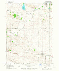 1965 Stanwood1966 Print · USGSEastern Iowa's agricultural heartland is documented here during the mid-sixties, showing the rail-linked growth of Mechanicsville and Stanwood. Researchers can trace the Chicago and North Western line or locate family sites like Walnut Grove Cem and Olin Cem.
 - 1976 Map of Dubuque
 1976 Dubuque1976 Print · USGSThe tri-state borderlands of Iowa, Wisconsin, and Illinois come alive during the mid-seventies, showing a region built on river commerce and mining. Genealogists and historians can trace the paths of the Illinois Central railroad or locate heritage sites like the New Melleray Abbey Monastery and Backbone State Park.
 - 1980 Map of Morley, 1981 Print
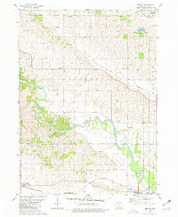 1980 Morley1981 Print · USGSThe Wapsipinicon River valley in Jones County is captured here in the early eighties, as rail lines still connected the river towns. Researchers can locate the State Penal Farm, Antioch Church, and several rural burial grounds like Graffit Cemetery.
 - 1984 Map of Iowa City, 1985 Print
 1984 Iowa City1985 Print · USGSEastern Iowa in the mid-eighties shows a landscape of expanding university towns and river-fed conservation lands. Genealogists and local historians can trace the rural networks connecting Iowa City to smaller outposts like West Branch, Solon, and Atalissa.2 unique versions available
 - 1984 Map of Anamosa, 1985 Print
 1984 Anamosa1985 Print · USGSEastern Iowa's river valleys and farming communities are captured here in the mid-eighties, showing a landscape defined by the Wapsipinicon River and Maquoketa River. Genealogists and historians can locate legacy landmarks like the Independence State Hospital, Ebys Mill, and the State Penal Farm.2 unique versions available
 - 2010 Map of Stanwood, 2010 Print
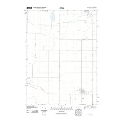 2010 Stanwood2010 Print · USGSThe Cedar County prairie of the early twenty-first century is captured here, showing the enduring agricultural grid surrounding Mechanicsville and Stanwood. Researchers can trace the path of the Old Lincoln Hwy and locate the Olin Cemetery or Stanwood Cemetery.
 - 2010 Map of Morley, 2010 Print
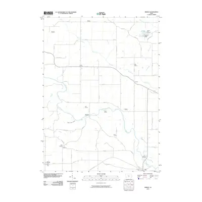 2010 Morley2010 Print · USGSJones County's river valleys and rural crossroads are captured in this 2010 survey of eastern Iowa. Researchers can trace family history through a high density of rural burial grounds like Midland Cemetery and landmarks such as the Fremont Mill Bridge.
 - 2013 Map of Morley, 2013 Print
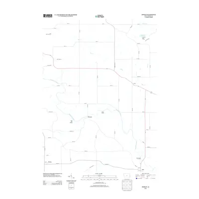 2013 Morley2013 Print · USGSJones County, Iowa, is captured here in the early twenty-first century as a landscape of river-bottom lands and agricultural crossroads. Researchers can locate specific family landmarks and infrastructure including the Fremont Mill Bridge, the Iowa State Penal Farm, and small communities like Newport and Morley.
 - 2013 Map of Stanwood, 2013 Print
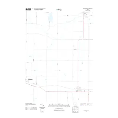 2013 Stanwood2013 Print · USGSCedar County's agricultural heartland is documented here in the early twenty-first century, featuring the historic path of the Old Lincoln Hwy. Researchers can trace the local road networks surrounding Mechanicsville, Stanwood, and Olin along the banks of Rock Cr.
 - 2015 Map of Stanwood, 2015 Print
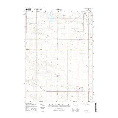 2015 Stanwood2015 Print · USGSCedar County farm country is mapped here during the mid-2010s, showing the intersection of rural townships and prairie waterways. Family historians can locate specific burial sites and legacy routes like Stanwood Cem, Olin Cem, and the Old Lincoln Hwy.
 - 2015 Map of Morley, 2015 Print
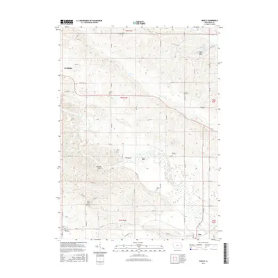 2015 Morley2015 Print · USGSJones County at the peak of the 2010s reveals a preserved landscape of rural Iowa life and river-valley settlements. Researchers can trace family history through numerous country burial grounds like Grafft Cem or locate landmarks such as the Fremont Mill Bridge.
 - 2018 Map of Stanwood, 2018 Print
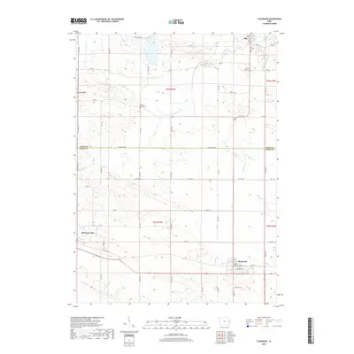 2018 Stanwood2018 Print · USGSCedar County and Jones County farmland is captured here in the late 2010s, showcasing the traditional rural grid between Mechanicsville and Stanwood. Researchers can trace local genealogy at Walnut Grove Cem or follow the historic path of the Old Lincoln Hwy.
 - 2018 Map of Morley, 2018 Print
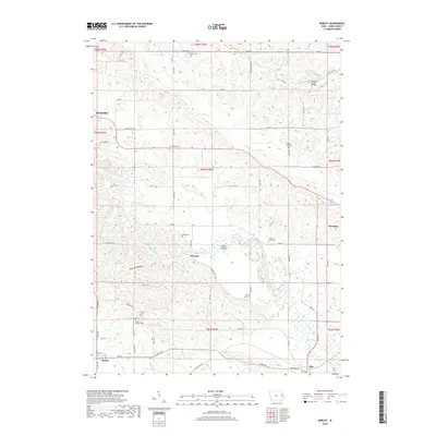 2018 Morley2018 Print · USGSJones County at the edge of the Wapsipinicon valley remains a patchwork of river bends and rural crossroads. Genealogists and local historians can trace family ties at sites like Antioch Cem, Hazel Green Cem, and the crossing at Fremont Mill Bridge.
 - 2022 Map of Stanwood, 2022 Print
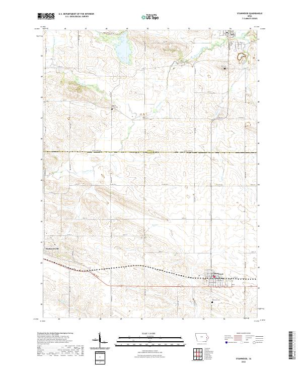 2022 Stanwood2022 Print · USGSThis rural Iowa landscape on the Jones and Cedar county line reveals the enduring agricultural layout of the early twenty-first century. Genealogists can locate family sites near Walnut Grove Cem, Olin Cem, or the namesake settlement of Stanwood.
Showing maps 1-25 of 26
Top cities near Olin
- Anamosa historical maps
- Monticello historical maps
- Tipton historical maps
- Clarence historical maps
- Mechanicsville historical maps
- Lowden historical maps
See more
Frequently asked questions
- What are the different types of historical maps available for Olin?
- What is the oldest map of Olin?
- Where can I purchase historical maps of Olin for my home or office?
- Where can I download high-res historical maps of Olin?
- Are there historical topographic maps available for Olin?
- Is there historical aerial imagery available for Olin?
- Where are historical maps of Olin sourced from?