Old Maps of Algona, Iowa for Metal Detecting
Plan your next treasure hunt with 15 historic maps of Algona. Find old homesites, ghost towns, trails, and gathering spots that may be lost to time — perfect for identifying promising metal detecting locations.
- Locate forgotten sites: Uncover places like long-lost settlements, abandoned rail lines, or gathering spots.
- Plan better hunts: Use map overlays combined with LiDAR or satellite views to narrow in on historically rich areas.
- Made for detectorists: Thousands of hobbyists use these maps to discover relics, coins, and hidden history.
Use these historic maps to boost your research and find new opportunities beneath the surface of Algona.
Algona, IA maps
(15)- 1954 Map of Fairmont, 1967 Print
 1954 Fairmont1967 Print · USGSThe prairie landscape of southern Minnesota and northern Iowa comes alive in this mid-century survey of the Coteau des Prairies. Genealogists and historians can trace the rail-connected growth of Fairmont and Blue Earth or locate family roots near St Kilian Ch and Union Slough National Wildlife Refuge.3 unique versions available
 - 1958 Map of Fairmont
 1958 Fairmont1958 Print · USGSThe borderlands of southern Minnesota and northern Iowa come alive in the mid-1950s, showing a landscape defined by glacial lakes and rail-line commerce. Researchers can trace historic landmarks like Lakeside Laboratory, Gridley Station, and the Bancroft Wildlife Refuge across the prairie.
 - 1972 Map of Algona, 1975 Print
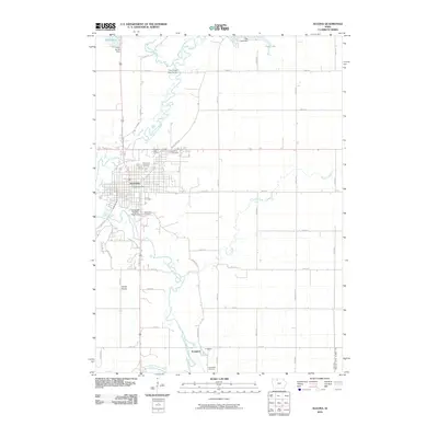
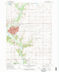 1972 Algona1975 Print · USGSAlgona and the surrounding Kossuth County townships are captured here in the early seventies during a period of steady Midwestern growth. Genealogists and local historians can trace family locations through numerous sites like River View Cemetery, St Cecelias Academy, and the southern village of Irvington.2 unique versions available
 - 1980 Map of Hobarton
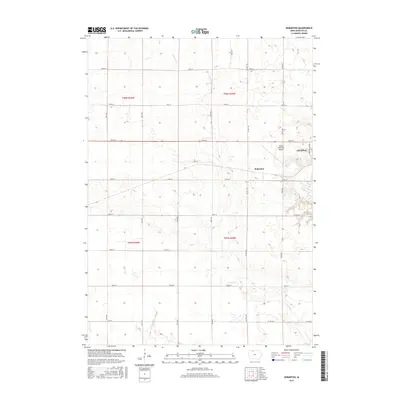
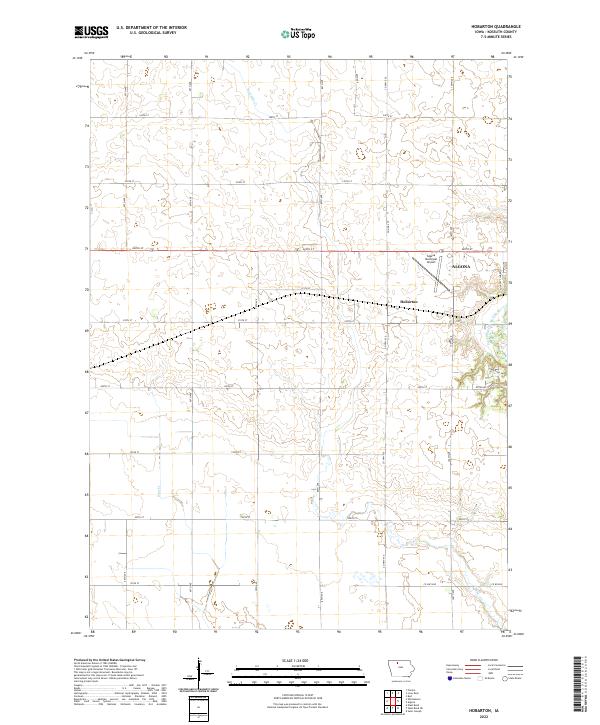
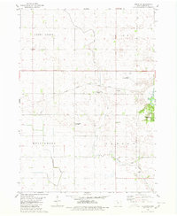 1980 Hobarton1980 Print · USGSKossuth County agriculture and infrastructure are captured here in the late twentieth century. Genealogists and local researchers can trace family lands near the Chicago Milwaukee St Paul and Pacific rail line, the County Home, and Hobarton.
 - 1985 Map of Estherville
 1985 Estherville1985 Print · USGSNorthern Iowa in the mid-eighties was a landscape of grid-patterned agriculture and vast marshland conservation. Genealogists can locate rural landmarks like Oak Hill Cemetery and Fourmile Lake School, or trace the rail lines of the Chicago and North Western.2 unique versions available
 - 2010 Map of Hobarton, 2010 Print
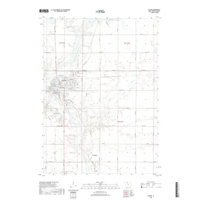
 2010 Hobarton2010 Print · USGSCovers Algona, including Hobarton, Kossuth County, and other nearby areas
 - 2010 Map of Algona, 2010 Print
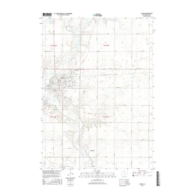
 2010 Algona2010 Print · USGSCovers Algona, including Irvington, Kossuth County, and other nearby areas
 - 2013 Map of Algona, 2013 Print
 2013 Algona2013 Print · USGSCovers Algona, including Irvington, Kossuth County, and other nearby areas
 - 2013 Map of Hobarton, 2013 Print
 2013 Hobarton2013 Print · USGSCovers Algona, including Hobarton, Kossuth County, and other nearby areas
 - 2015 Map of Hobarton, 2015 Print
 2015 Hobarton2015 Print · USGSCovers Algona, including Hobarton, Kossuth County, and other nearby areas
 - 2015 Map of Algona, 2015 Print
 2015 Algona2015 Print · USGSCovers Algona, including Irvington, Kossuth County, and other nearby areas
 - 2018 Map of Hobarton, 2018 Print
 2018 Hobarton2018 Print · USGSCovers Algona, including Hobarton, Kossuth County, and other nearby areas
 - 2018 Map of Algona, 2018 Print
 2018 Algona2018 Print · USGSCovers Algona, including Irvington, Kossuth County, and other nearby areas
 - 2022 Map of Hobarton, 2022 Print
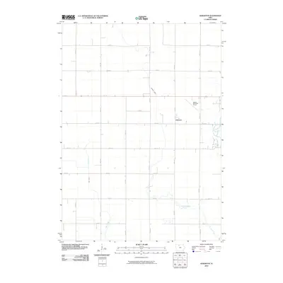
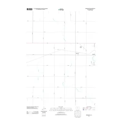
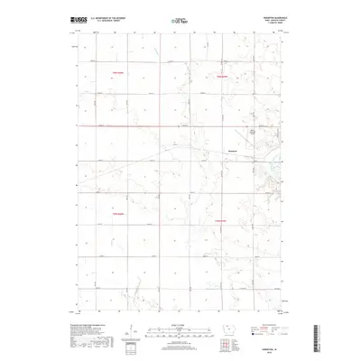
 2022 Hobarton2022 Print · USGSKossuth County farmland is captured here in the early 2020s, showing the intersection of rural heritage and modern infrastructure. You can trace the East Fork Des Moines River as it winds past Algona and the Algona Municipal Airport.
 - 2022 Map of Algona, 2022 Print
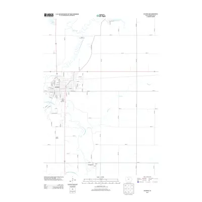
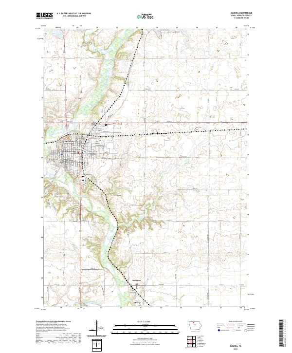 2022 Algona2022 Print · USGSKossuth County comes into focus in this recent survey of North Central Iowa's agricultural and civic landscape. Genealogists and researchers can map the grounds of Riverview Cem and Laurel Hill Cem or trace the East Fork Des Moines River through Irvington.
End of results
Showing maps 1-15 of 15
Top cities near Algona
- West Bend historical maps
- Bancroft historical maps
- Titonka historical maps
- Whittemore historical maps
- Burt historical maps
- Livermore historical maps
See more
Frequently asked questions
- What are the different types of historical maps available for Algona?
- What is the oldest map of Algona?
- Where can I purchase historical maps of Algona for my home or office?
- Where can I download high-res historical maps of Algona?
- Are there historical topographic maps available for Algona?
- Is there historical aerial imagery available for Algona?
- Where are historical maps of Algona sourced from?