2000s (21st Century) Maps of Alburnett, Iowa
Explore 10 historic maps of Alburnett from the 2000s (21st Century). These maps offer a rare glimpse into what life looked like during the 2000s — showing old roads, neighborhoods, homes, and landmarks that have changed or disappeared over time.
Whether you're researching your family's past, planning a metal detecting trip, or studying how Alburnett's landscape evolved across the 2000s, these high-resolution maps are a powerful tool for exploring the history of this region.
- Focus on a specific era: All maps on this page are from the 2000s, giving you a focused view of this time period.
- See what’s changed: Compare century-old streets, trails, and buildings to today's modern landscape using overlays and satellite layers.
- Research with precision: Use these maps for genealogy, historical research, land use analysis, or educational projects.
- View, download, or print: Maps are fully viewable online in high resolution, and can be downloaded or printed for your own records.
Start exploring Alburnett's history through authentic maps from the 2000s. This is your window into the past.
Alburnett, IA maps
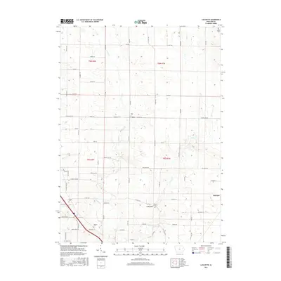
(10)- 2010 Map of Lafayette, 2010 Print
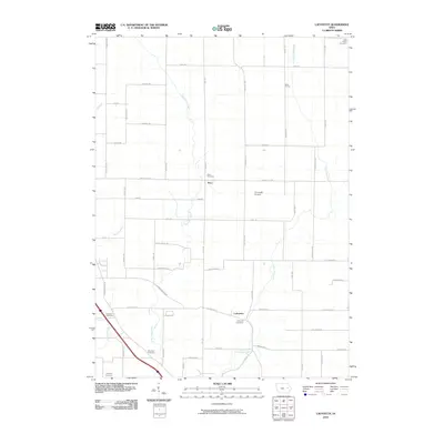 2010 Lafayette2010 Print · USGSCovers Alburnett, including Alice, Lafayette, and other nearby areas
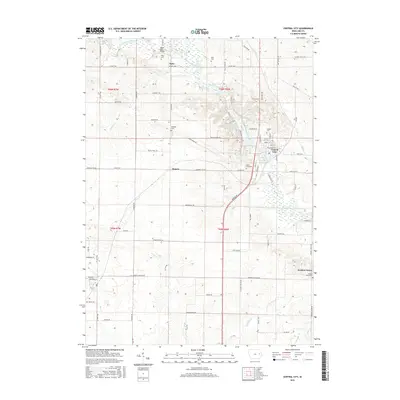
 - 2010 Map of Central City, 2010 Print
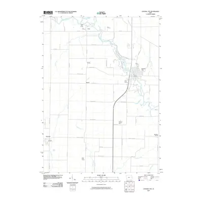 2010 Central City2010 Print · USGSCovers Alburnett, including Central City, Jordans Grove, and other nearby areas
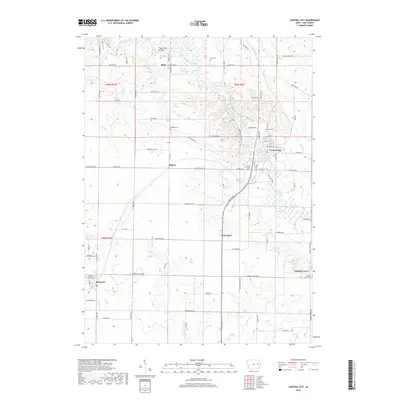
 - 2013 Map of Central City, 2013 Print
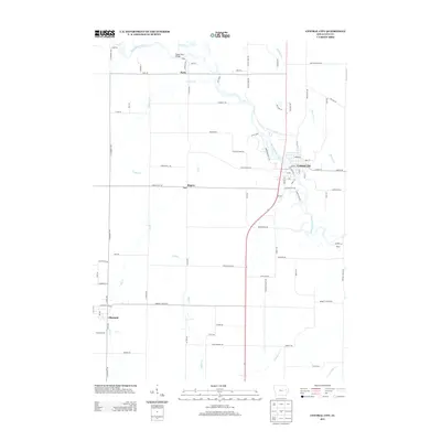 2013 Central City2013 Print · USGSCovers Alburnett, including Central City, Jordans Grove, and other nearby areas
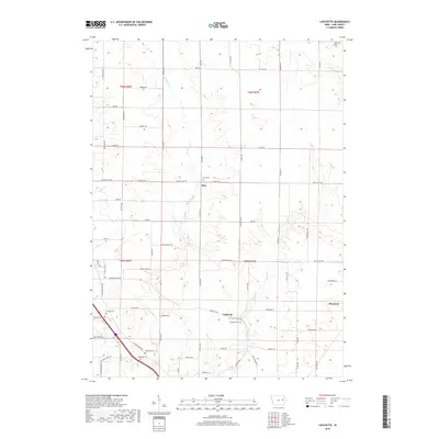
 - 2013 Map of Lafayette, 2013 Print
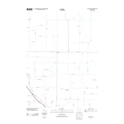 2013 Lafayette2013 Print · USGSCovers Alburnett, including Alice, Lafayette, and other nearby areas
 - 2015 Map of Lafayette, 2015 Print
 2015 Lafayette2015 Print · USGSCovers Alburnett, including Alice, Lafayette, and other nearby areas
 - 2015 Map of Central City, 2015 Print
 2015 Central City2015 Print · USGSCovers Alburnett, including Central City, Jordans Grove, and other nearby areas
 - 2018 Map of Central City, 2018 Print
 2018 Central City2018 Print · USGSCovers Alburnett, including Central City, Jordans Grove, and other nearby areas
 - 2018 Map of Lafayette, 2018 Print
 2018 Lafayette2018 Print · USGSCovers Alburnett, including Alice, Lafayette, and other nearby areas
 - 2022 Map of Central City, 2022 Print
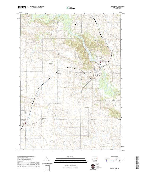 2022 Central City2022 Print · USGSLinn County’s river-bottom lands and rural townships are captured in this recent survey of the Wapsipinicon valley. Local historians can trace the settlement patterns of Central City and Alburnett or locate family burial grounds like Mills Grove Cem and Oakhill Cem.
 - 2022 Map of Lafayette, 2022 Print
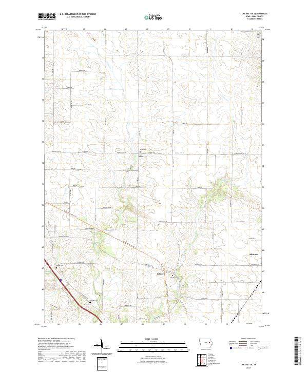 2022 Lafayette2022 Print · USGSLinn County agriculture and rural life are preserved here in the early twenty-first century, showing the enduring grid of township roads and creek-side settlements. Genealogists can locate several local burial grounds including Alice Cem, Lafayette Cem, and Ashlock Cem.
End of results
Showing maps 1-10 of 10
Top cities near Alburnett
- Cedar Rapids historical maps
- Marion historical maps
- Hiawatha historical maps
- Mount Vernon historical maps
- Robins historical maps
- Fairfax historical maps
See more
Frequently asked questions
- What are the different types of historical maps available for Alburnett?
- What is the oldest map of Alburnett?
- Where can I purchase historical maps of Alburnett for my home or office?
- Where can I download high-res historical maps of Alburnett?
- Are there historical topographic maps available for Alburnett?
- Is there historical aerial imagery available for Alburnett?
- Where are historical maps of Alburnett sourced from?