Old Maps of Alvord, Iowa for Metal Detecting
Plan your next treasure hunt with 9 historic maps of Alvord. Find old homesites, ghost towns, trails, and gathering spots that may be lost to time — perfect for identifying promising metal detecting locations.
- Locate forgotten sites: Uncover places like long-lost settlements, abandoned rail lines, or gathering spots.
- Plan better hunts: Use map overlays combined with LiDAR or satellite views to narrow in on historically rich areas.
- Made for detectorists: Thousands of hobbyists use these maps to discover relics, coins, and hidden history.
Use these historic maps to boost your research and find new opportunities beneath the surface of Alvord.
Alvord, IA maps
(9)- 1955 Map of Sioux Falls, 1967 Print
 1955 Sioux Falls1967 Print · USGSThe eastern South Dakota and western Minnesota borderlands come alive in the mid-fifties, showing the vital rail-to-river connections of the era. Genealogists can trace family footprints across townships like Madison and Pipestone, while following the paths of the Big Sioux River and the Chicago and North Western line.3 unique versions available
 - 1958 Map of Sioux Falls
 1958 Sioux Falls1958 Print · USGSThe tri-state borderlands of South Dakota, Minnesota, and Iowa are captured here during the mid-century peak of the regional rail network. Genealogists and historians can trace local landmarks like Augustana Academy, the St Marys Cem, and the path of the Illinois Central through Rock Rapids.
 - 1971 Map of Alvord, 1973 Print
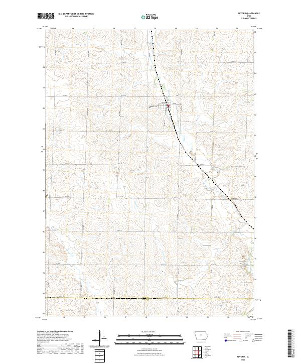
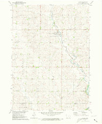 1971 Alvord1973 Print · USGSThe town of Alvord and the surrounding prairie townships are captured here in the early 1970s. Genealogists and local historians can trace family burial sites at St Marys Cem and Hillside Cem or follow the Burlington Northern rail corridor.
 - 1985 Map of Rock Rapids
 1985 Rock Rapids1985 Print · USGSThe borderlands of South Dakota and Iowa come into focus in the mid-1980s, centered on the fertile valleys of the Big Sioux River. Genealogists and researchers can trace rural homesteads near Rock Rapids, find Dordt College in Sioux Center, or locate old burial sites like Grace Hill Cem.2 unique versions available
 - 2010 Map of Alvord, 2010 Print
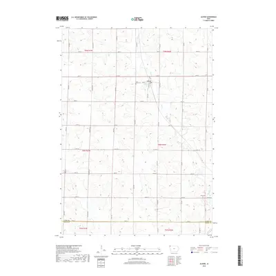
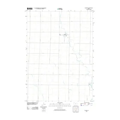 2010 Alvord2010 Print · USGSCovers Alvord, including Sioux County, Lyon County, and other nearby areas
 - 2013 Map of Alvord, 2013 Print
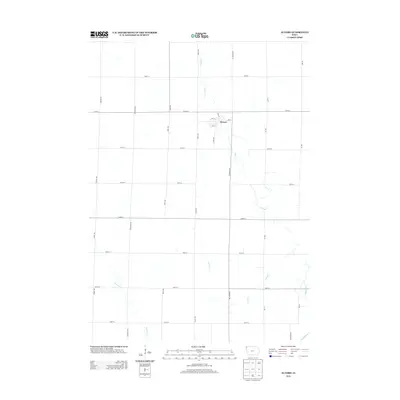 2013 Alvord2013 Print · USGSCovers Alvord, including Sioux County, Lyon County, and other nearby areas
 - 2015 Map of Alvord, 2015 Print
 2015 Alvord2015 Print · USGSCovers Alvord, including Sioux County, Lyon County, and other nearby areas
 - 2018 Map of Alvord, 2018 Print
 2018 Alvord2018 Print · USGSCovers Alvord, including Sioux County, Lyon County, and other nearby areas
 - 2022 Map of Alvord, 2022 Print
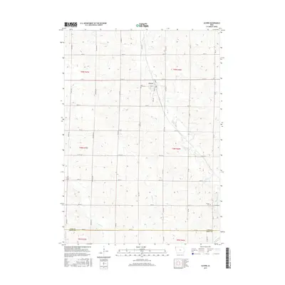
 2022 Alvord2022 Print · USGSNorthwestern Iowa farm country is captured in this modern survey of the plains surrounding the settlement of Alvord. Genealogists and local historians can locate family sites near Saint Marys Cem or trace the drainage of Mud Creek and the Rock River.
End of results
Showing maps 1-9 of 9
Top cities near Alvord
- Rock Valley historical maps
- Rock Rapids historical maps
- Hull historical maps
- Inwood historical maps
- Larchwood historical maps
- Doon historical maps
See more
Frequently asked questions
- What are the different types of historical maps available for Alvord?
- What is the oldest map of Alvord?
- Where can I purchase historical maps of Alvord for my home or office?
- Where can I download high-res historical maps of Alvord?
- Are there historical topographic maps available for Alvord?
- Is there historical aerial imagery available for Alvord?
- Where are historical maps of Alvord sourced from?