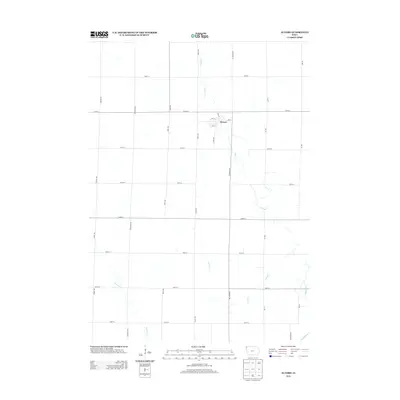
2013 Map of Alvord
USGS Topo · Published 2013About this map
Alvord sits at the heart of this Lyon County landscape, serving as a concentrated grid of settlement amidst a vast agricultural network. The town's layout is defined by streets such as Main St and 1st St, indicating a small but established rural hub. The surrounding terrain is drained by several meandering watercourses, most notably Mud Cr and Lizard Cr, which thread through the township sections toward the Rock River in the southeast. The rigid section-line road system, including thoroughfares like Eagle Ave and 200th St, illustrates the systematic land division characteristic of the region. This 2013 survey provides a clear view of the rural infrastructure and drainage patterns that have shaped life in this corner of Iowa for generations, offering a precise digital-age record of long-standing property and transit boundaries.
Find a feature on this map
26 named features on this map. Tap any name to fly to it.
Don’t see what you’re looking for? This feature index may not catch every label — zoom into the map to look around manually.
Map Details
Editions of this 2013 Alvord Map
This is the sole edition of this map. No revisions or reprints were ever made.
Other maps of this area

1955 · Sioux Falls
USGS Topo · 1:250,000

1958 · Sioux Falls
USGS Topo · 1:250,000

1964 · Hull
USGS Topo · 1:24,000

1968 · Fairview
USGS Topo · 1:24,000
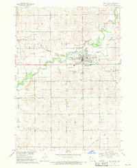
1968 · Rock Valley
USGS Topo · 1:24,000

1971 · Lester
USGS Topo · 1:24,000
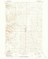
1971 · Inwood
USGS Topo · 1:24,000
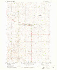
1971 · Larchwood
USGS Topo · 1:24,000

1971 · Rock Rapids
USGS Topo · 1:24,000

1971 · Doon
USGS Topo · 1:24,000