
1968 Map of Fairview
USGS Topo · Published 1971About this map
The Big Sioux River creates a meandering border between South Dakota and Iowa in this late 1960s survey, defining the rural character of the region. The small settlements of Fairview and Hudson are central hubs in this agricultural landscape, connected by the Chicago Milwaukee St Paul and Pacific railroad which follows the river’s western bank. This transport corridor was vital for the local economy, moving goods through the townships of Settlers, Sioux, and Eden.
Find a feature on this map
20 named features on this map. Tap any name to fly to it.
Don’t see what you’re looking for? This feature index may not catch every label — zoom into the map to look around manually.
Map Details
Editions of this 1968 Fairview Map
This is the sole edition of this map. No revisions or reprints were ever made.
Other maps of this area

1897 · Canton
USGS Topo · 1:125,000

1900 · Canton
USGS Topo · 1:125,000

1955 · Sioux Falls
USGS Topo · 1:250,000

1958 · Sioux Falls
USGS Topo · 1:250,000

1962 · Canton
USGS Topo · 1:24,000

1968 · Alcester NE
USGS Topo · 1:24,000
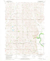
1968 · Alcester SE
USGS Topo · 1:24,000
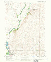
1968 · Hawarden North
USGS Topo · 1:24,000

1968 · Labanon
USGS Topo · 1:24,000
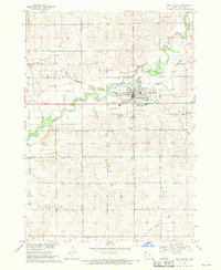
1968 · Rock Valley
USGS Topo · 1:24,000