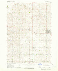
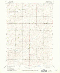
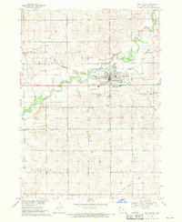
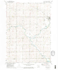
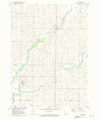
1964 Map of Hull
USGS Topo · Published 1966About this map
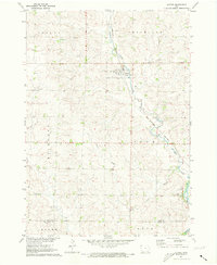
Agricultural Sioux County lands define this mid-1960s topographic study, where the town of Hull serves as a primary center for the surrounding prairie landscape. The area's transport and economic layout is shaped by the intersection of the Great Northern and the Chicago Milwaukee St Paul and Pacific railroads, which cross near the settlement of Perkins. This rail junction was essential for moving local farm products to market during the mid-century era.
Find a feature on this map
16 named features on this map. Tap any name to fly to it.
Don’t see what you’re looking for? This feature index may not catch every label — zoom into the map to look around manually.
Map Details
Editions of this 1964 Hull Map
This is the sole edition of this map. No revisions or reprints were ever made.
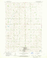
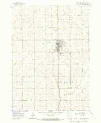
Other maps of this area

1955 · Sioux Falls
USGS Topo · 1:250,000

1958 · Sioux Falls
USGS Topo · 1:250,000
1964 · Orange City
USGS Topo · 1:24,000
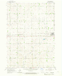
1964 · Boyden
USGS Topo · 1:24,000
1964 · Sioux Center
USGS Topo · 1:24,000
1968 · Labanon
USGS Topo · 1:24,000
1968 · Rock Valley
USGS Topo · 1:24,000
1971 · George West
USGS Topo · 1:24,000
1971 · Doon
USGS Topo · 1:24,000
1971 · Alvord
USGS Topo · 1:24,000