Old Maps of Lester, Iowa for Academic Research
Study the evolution of Lester with 9 high-resolution historic maps. Whether you're teaching, researching, or modeling changes in land use, these maps provide essential visual documentation of urban, environmental, and geographic change.
- Analyze long-term change: Track patterns in development, transportation, and natural features.
- Ideal for environmental or urban studies: Support academic projects with primary historical map data.
- Use in the classroom or lab: Educators and researchers rely on these maps to bring historical context to life.
These maps are a powerful tool for teaching, research, and visualizing how Lester has changed over the decades.
Lester, IA maps
(9)- 1955 Map of Sioux Falls, 1967 Print
 1955 Sioux Falls1967 Print · USGSThe eastern South Dakota and western Minnesota borderlands come alive in the mid-fifties, showing the vital rail-to-river connections of the era. Genealogists can trace family footprints across townships like Madison and Pipestone, while following the paths of the Big Sioux River and the Chicago and North Western line.3 unique versions available
 - 1958 Map of Sioux Falls
 1958 Sioux Falls1958 Print · USGSThe tri-state borderlands of South Dakota, Minnesota, and Iowa are captured here during the mid-century peak of the regional rail network. Genealogists and historians can trace local landmarks like Augustana Academy, the St Marys Cem, and the path of the Illinois Central through Rock Rapids.
 - 1971 Map of Lester, 1973 Print
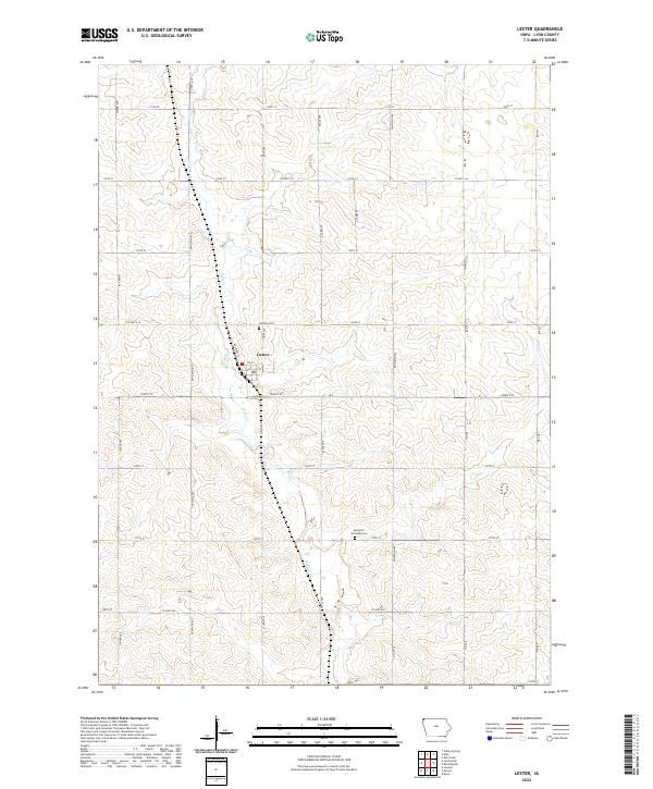
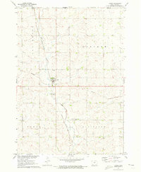 1971 Lester1973 Print · USGSLester and the surrounding northwest Iowa townships are captured here in the early 1970s, as the railroad still dictated the local economy. Genealogists and researchers can locate family sites near Hillside Cem or trace the Burlington Northern line and Mud Creek.
 - 1985 Map of Rock Rapids
 1985 Rock Rapids1985 Print · USGSThe borderlands of South Dakota and Iowa come into focus in the mid-1980s, centered on the fertile valleys of the Big Sioux River. Genealogists and researchers can trace rural homesteads near Rock Rapids, find Dordt College in Sioux Center, or locate old burial sites like Grace Hill Cem.2 unique versions available
 - 2010 Map of Lester, 2010 Print
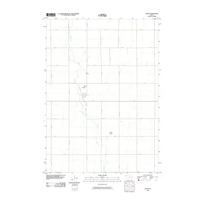 2010 Lester2010 Print · USGSCovers Lester, including Allison Township, Larchwood Township, and other nearby areas
 - 2013 Map of Lester, 2013 Print
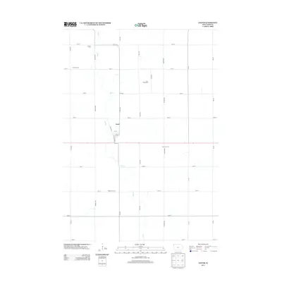 2013 Lester2013 Print · USGSCovers Lester, including Allison Township, Larchwood Township, and other nearby areas
 - 2015 Map of Lester, 2015 Print
 2015 Lester2015 Print · USGSCovers Lester, including Allison Township, Larchwood Township, and other nearby areas
 - 2018 Map of Lester, 2018 Print
 2018 Lester2018 Print · USGSCovers Lester, including Allison Township, Larchwood Township, and other nearby areas
 - 2022 Map of Lester, 2022 Print
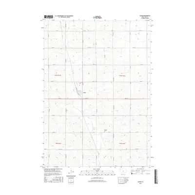
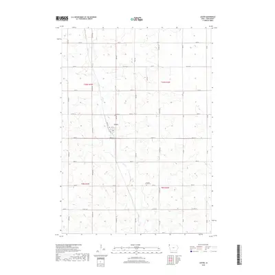
 2022 Lester2022 Print · USGSLester and the surrounding Lyon County farmland are captured here in the early twenty-first century as the area maintains its deep agricultural roots. Genealogists and local historians can trace family plots at Hillside Cem and Apostolic Christian Cem or follow the course of Mud Cr.
End of results
Showing maps 1-9 of 9
Top cities near Lester
- Brandon historical maps
- Luverne historical maps
- Rock Valley historical maps
- Canton historical maps
- Rock Rapids historical maps
- Inwood historical maps
See more
Frequently asked questions
- What are the different types of historical maps available for Lester?
- What is the oldest map of Lester?
- Where can I purchase historical maps of Lester for my home or office?
- Where can I download high-res historical maps of Lester?
- Are there historical topographic maps available for Lester?
- Is there historical aerial imagery available for Lester?
- Where are historical maps of Lester sourced from?