Old Maps of Oskaloosa, Iowa
Explore 17 old maps of Oskaloosa, spanning from 1954 to today. These high-resolution historic maps reveal how streets, neighborhoods, landmarks, and natural features evolved over time — perfect for genealogy, metal detecting, research, and local history exploration.
What you can do with these maps:
- See how Oskaloosa changed over time: Compare historical maps to modern-day views to trace roads, homesites, rail lines & more.
- View detailed metadata: Each map includes creators, publishers, year, scale, and archive source.
- Overlay maps with satellite & LiDAR: Visualize the past alongside modern tools to explore terrain & human change.
- Trusted historical sources: Maps sourced from the USGS, Library of Congress, and other archives.
- Access maps your way: View online, download high-res files, or order prints for personal or research use.
Start exploring old maps of Oskaloosa to uncover forgotten places, hidden landmarks, and the deep history beneath your feet.
Oskaloosa, IA maps
(17)- 1954 Map of Des Moines, 1973 Print
 1954 Des Moines1973 Print · USGSCentral Iowa's evolving landscape is captured here in the early seventies, just as major reservoirs were reshaping the river valleys. Genealogists and historians can trace the rail corridors of the Burlington Northern or locate family roots near Pella, Indianola, and Knoxville.2 unique versions available
 - 1956 Map of Des Moines
 1956 Des Moines1956 Print · USGSCentral Iowa in the mid-fifties shows a landscape defined by bustling rail hubs and deep-rooted agricultural research. Genealogists and researchers can trace the growth of Des Moines and Ames, locate the Sac and Fox Indian Reservation, or study the paths of the Skunk River and South Skunk River.
 - 1957 Map of Des Moines
 1957 Des Moines1957 Print · USGSCentral Iowa's post-war landscape is defined here by the converging rail lines and river valleys that shaped its earliest settlements. Genealogists and historians can trace the paths of the Rock Island Railroad and locate community landmarks in Des Moines, Ames, and Newton.
 - 1968 Map of University Park, 1970 Print
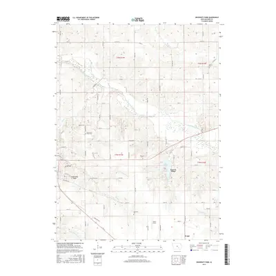
 1968 University Park1970 Print · USGSUniversity Park and the surrounding Mahaska County farmland are shown here in the late sixties, just as the regional rail system remained a vital artery. Trace family history at Quaker Cem or explore the grounds of Vennard College and Lake Keomah State Park.
 - 1968 Map of Oskaloosa, 1970 Print
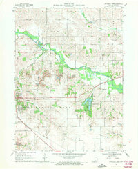
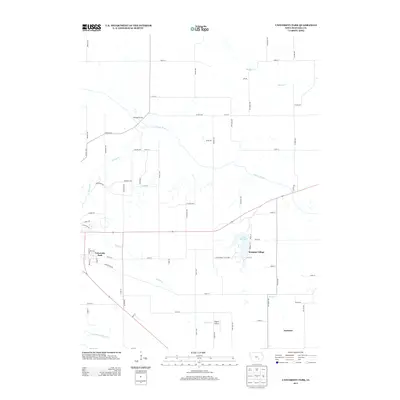
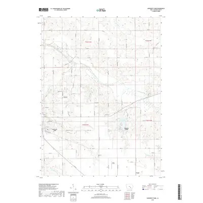
 1968 Oskaloosa1970 Print · USGSOskaloosa and the surrounding Mahaska County townships are captured here in the late sixties as the area's coal-mining past shaped its modern landscape. Researchers can locate numerous local institutions from William Penn College to Forest Cemetery and trace the influence of the Chicago and North Western railroad.
 - 1969 Map of Des Moines
 1969 Des Moines1969 Print · USGSCentral Iowa's fertile plains and growing capital are captured here during the late sixties, a time of major highway expansion and reservoir construction. Genealogists and researchers can trace rural township boundaries, local cemeteries, and rail lines serving towns like Pella, Grinnell, and Oskaloosa.
 - 1982 Map of Oskaloosa
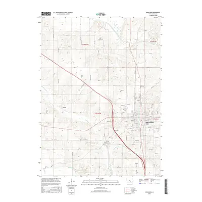
 1982 Oskaloosa1982 Print · USGSSoutheast Iowa's river valleys and rail hubs are meticulously detailed in the early eighties, showing a landscape of productive farmland and growing municipal centers. Researchers can trace the legacy of small-town life and local industry through features like Union Mills, What Cheer, and the extensive Burlington Northern rail network.
 - 2010 Map of University Park, 2010 Print
 2010 University Park2010 Print · USGSCovers Oskaloosa, including University Park, Keomah Village, and other nearby areas
 - 2010 Map of Oskaloosa, 2010 Print
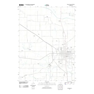 2010 Oskaloosa2010 Print · USGSCovers Oskaloosa, including Beacon, Evans, and other nearby areas
 - 2013 Map of University Park, 2013 Print
 2013 University Park2013 Print · USGSCovers Oskaloosa, including University Park, Keomah Village, and other nearby areas
 - 2013 Map of Oskaloosa, 2013 Print
 2013 Oskaloosa2013 Print · USGSCovers Oskaloosa, including Beacon, Evans, and other nearby areas
 - 2015 Map of University Park, 2015 Print
 2015 University Park2015 Print · USGSCovers Oskaloosa, including University Park, Keomah Village, and other nearby areas
 - 2015 Map of Oskaloosa, 2015 Print
 2015 Oskaloosa2015 Print · USGSCovers Oskaloosa, including Beacon, Evans, and other nearby areas
 - 2018 Map of University Park, 2018 Print
 2018 University Park2018 Print · USGSCovers Oskaloosa, including University Park, Keomah Village, and other nearby areas
 - 2018 Map of Oskaloosa, 2018 Print
 2018 Oskaloosa2018 Print · USGSCovers Oskaloosa, including Beacon, Evans, and other nearby areas
 - 2022 Map of Oskaloosa, 2022 Print
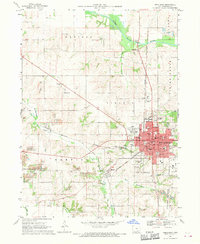
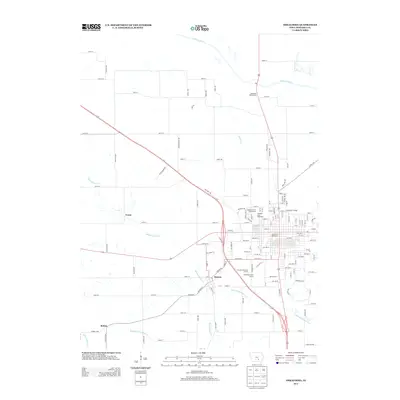
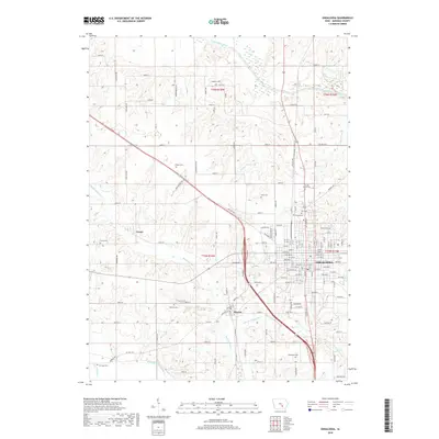
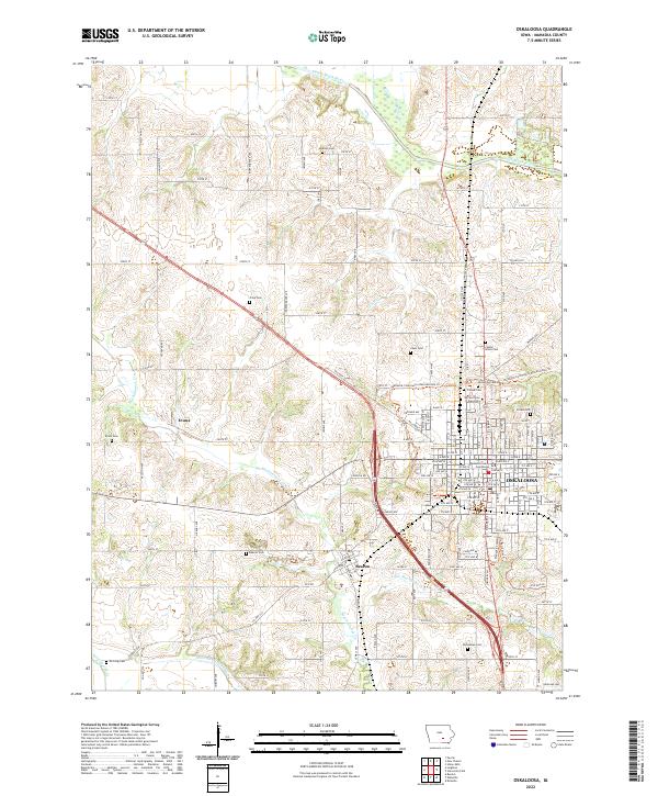 2022 Oskaloosa2022 Print · USGSMahaska County's landscape centers on the city of OSKALOOSA and its surrounding townships in this recent survey. Local researchers can identify numerous family-named burial sites like Chew Cem and McGlasson Cem, or locate the historic William Penn University campus.
 - 2022 Map of University Park, 2022 Print
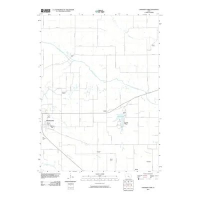
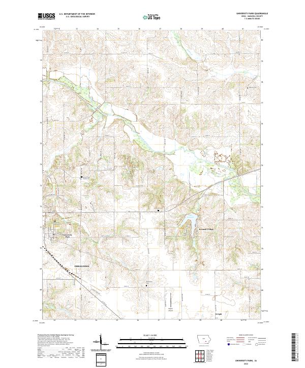 2022 University Park2022 Print · USGSUniversity Park and the eastern reaches of Oskaloosa are captured here in the early twenty-first century as they border the South Skunk River. Genealogists can locate several local burial sites like Spring Creek Friends Cem and McDonald Cem near the waters of Lake Keomah.
End of results
Showing maps 1-17 of 17
Top cities near Oskaloosa
- Ottumwa historical maps
- New Sharon historical maps
- Eddyville historical maps
- Fremont historical maps
- University Park historical maps
- Beacon historical maps
See more
Frequently asked questions
- What are the different types of historical maps available for Oskaloosa?
- What is the oldest map of Oskaloosa?
- Where can I purchase historical maps of Oskaloosa for my home or office?
- Where can I download high-res historical maps of Oskaloosa?
- Are there historical topographic maps available for Oskaloosa?
- Is there historical aerial imagery available for Oskaloosa?
- Where are historical maps of Oskaloosa sourced from?