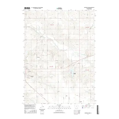
2015 Map of University Park
USGS Topo · Published 2015About this map
The South Skunk River meanders across the northern half of this Mahaska County landscape, defining the agricultural and riparian character of the region. Near the western edge, the community of University Park is clearly defined by its residential grid and the presence of the University Park Cem. This area serves as a focal point for local history, showing the established proximity between the town center and surrounding landmarks. To the east, Lake Keomah and the adjacent Keomah Village highlight the area's recreational and residential development integrated with the natural terrain.
Find a feature on this map
60 named features on this map. Tap any name to fly to it.
Don’t see what you’re looking for? This feature index may not catch every label — zoom into the map to look around manually.
Map Details
Editions of this 2015 University Park Map
This is the sole edition of this map. No revisions or reprints were ever made.
Other maps of this area

1954 · Des Moines
USGS Topo · 1:250,000

1956 · Des Moines
USGS Topo · 1:250,000

1956 · Ottumwa North
USGS Topo · 1:62,500

1957 · Des Moines
USGS Topo · 1:250,000

1965 · Gibson
USGS Topo · 1:24,000

1965 · Rose Hill
USGS Topo · 1:24,000

1968 · University Park
USGS Topo · 1:24,000

1968 · Oskaloosa
USGS Topo · 1:24,000

1968 · Kirkville
USGS Topo · 1:24,000

1968 · Eddyville
USGS Topo · 1:24,000