Old Maps of Dallas Township, Iowa for Academic Research
Study the evolution of Dallas Township with 19 high-resolution historic maps. Whether you're teaching, researching, or modeling changes in land use, these maps provide essential visual documentation of urban, environmental, and geographic change.
- Analyze long-term change: Track patterns in development, transportation, and natural features.
- Ideal for environmental or urban studies: Support academic projects with primary historical map data.
- Use in the classroom or lab: Educators and researchers rely on these maps to bring historical context to life.
These maps are a powerful tool for teaching, research, and visualizing how Dallas Township has changed over the decades.
Dallas Township, IA maps
(19)- 1918 Map of Chariton
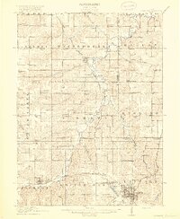 1918 Chariton1918 Print · USGSChariton and its neighboring townships thrive as a rail-connected agricultural hub during the late First World War era. Trace family roots at Chariton or locate rural landmarks like Indianola Junction and the Horstman School.4 unique versions available
 - 1924 Map of Melcher
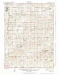 1924 Melcher1924 Print · USGSSouth-central Iowa thrives during the 1920s coal boom, where rail lines and mine shafts transformed the rural landscape. Trace the growth of mining towns like Tipperary and Bucknell, and locate vanished local schools such as Coal Glen School.3 unique versions available
 - 1954 Map of Des Moines, 1973 Print
 1954 Des Moines1973 Print · USGSCentral Iowa's evolving landscape is captured here in the early seventies, just as major reservoirs were reshaping the river valleys. Genealogists and historians can trace the rail corridors of the Burlington Northern or locate family roots near Pella, Indianola, and Knoxville.2 unique versions available
 - 1956 Map of Des Moines
 1956 Des Moines1956 Print · USGSCentral Iowa in the mid-fifties shows a landscape defined by bustling rail hubs and deep-rooted agricultural research. Genealogists and researchers can trace the growth of Des Moines and Ames, locate the Sac and Fox Indian Reservation, or study the paths of the Skunk River and South Skunk River.
 - 1957 Map of Des Moines
 1957 Des Moines1957 Print · USGSCentral Iowa's post-war landscape is defined here by the converging rail lines and river valleys that shaped its earliest settlements. Genealogists and historians can trace the paths of the Rock Island Railroad and locate community landmarks in Des Moines, Ames, and Newton.
 - 1969 Map of Des Moines
 1969 Des Moines1969 Print · USGSCentral Iowa's fertile plains and growing capital are captured here during the late sixties, a time of major highway expansion and reservoir construction. Genealogists and researchers can trace rural township boundaries, local cemeteries, and rail lines serving towns like Pella, Grinnell, and Oskaloosa.
 - 1982 Map of Melcher, 1983 Print
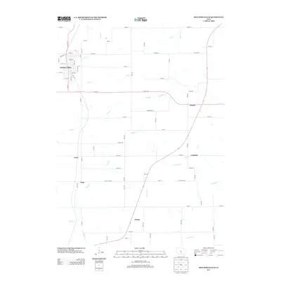
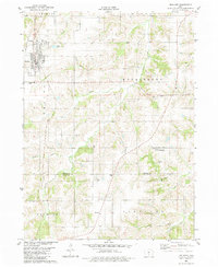 1982 Melcher1983 Print · USGSMarion County agriculture and small-town life are captured here in the early eighties as the settlements of Melcher and Dallas thrive. Local researchers can trace family landmarks like Sacred Heart Ch, Columbia Cem, and the community of Gosport.
 - 1982 Map of Newbern, 1983 Print
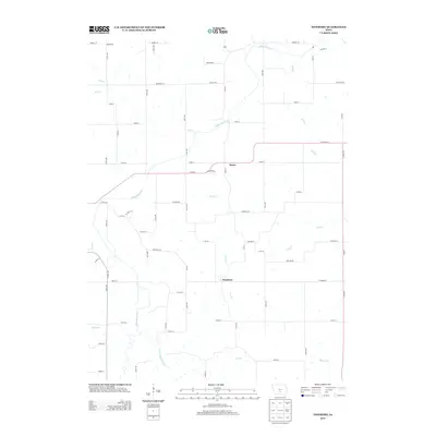
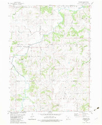 1982 Newbern1983 Print · USGSThe crossroads of Marion and Warren counties are captured here in the early eighties, showcasing a landscape of established family farms. Genealogists can trace local roots through numerous sites like St Paul Cem, Newbern Cem, and the community of Bauer.
 - 1984 Map of Indianola
 1984 Indianola1984 Print · USGSSouth-central Iowa in the mid-1980s reveals a patchwork of established rail hubs and significant new conservation areas. Trace the Chicago and North Western rail lines and explore rural landmarks like Lake Ahquabi State Park or the Strip Mine near Knoxville.
 - 2010 Map of Melcher-Dallas, 2010 Print
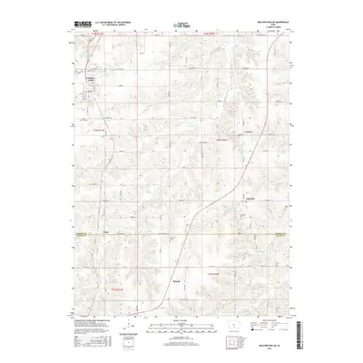
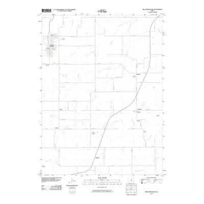 2010 Melcher-Dallas2010 Print · USGSCovers Dallas Township, including Melcher-Dallas, Purdy, and other nearby areas
 - 2010 Map of Newbern, 2010 Print
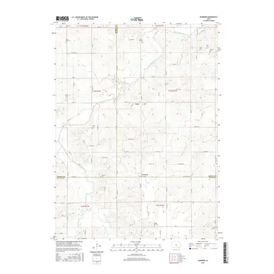
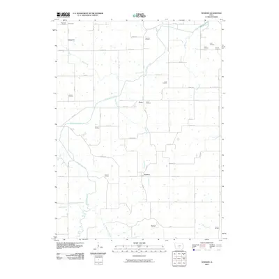 2010 Newbern2010 Print · USGSCovers Dallas Township, including Melcher-Dallas, White Breast Township, and other nearby areas
 - 2013 Map of Melcher-Dallas, 2013 Print
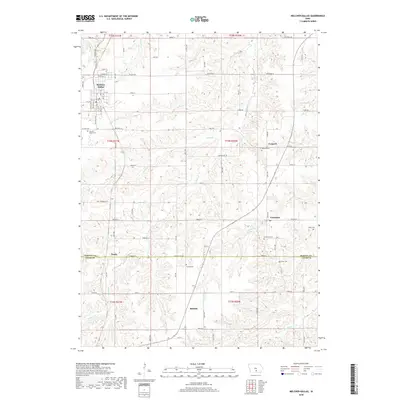
 2013 Melcher-Dallas2013 Print · USGSCovers Dallas Township, including Melcher-Dallas, Purdy, and other nearby areas
 - 2013 Map of Newbern, 2013 Print
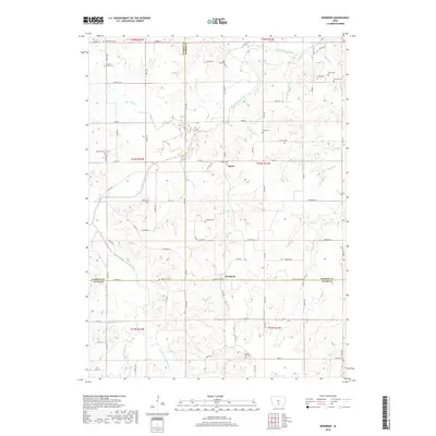
 2013 Newbern2013 Print · USGSCovers Dallas Township, including Melcher-Dallas, White Breast Township, and other nearby areas
 - 2015 Map of Melcher-Dallas, 2015 Print
 2015 Melcher-Dallas2015 Print · USGSCovers Dallas Township, including Melcher-Dallas, Purdy, and other nearby areas
 - 2015 Map of Newbern, 2015 Print
 2015 Newbern2015 Print · USGSCovers Dallas Township, including Melcher-Dallas, White Breast Township, and other nearby areas
 - 2018 Map of Newbern, 2018 Print
 2018 Newbern2018 Print · USGSCovers Dallas Township, including Melcher-Dallas, White Breast Township, and other nearby areas
 - 2018 Map of Melcher-Dallas, 2018 Print
 2018 Melcher-Dallas2018 Print · USGSCovers Dallas Township, including Melcher-Dallas, Purdy, and other nearby areas
 - 2022 Map of Newbern, 2022 Print
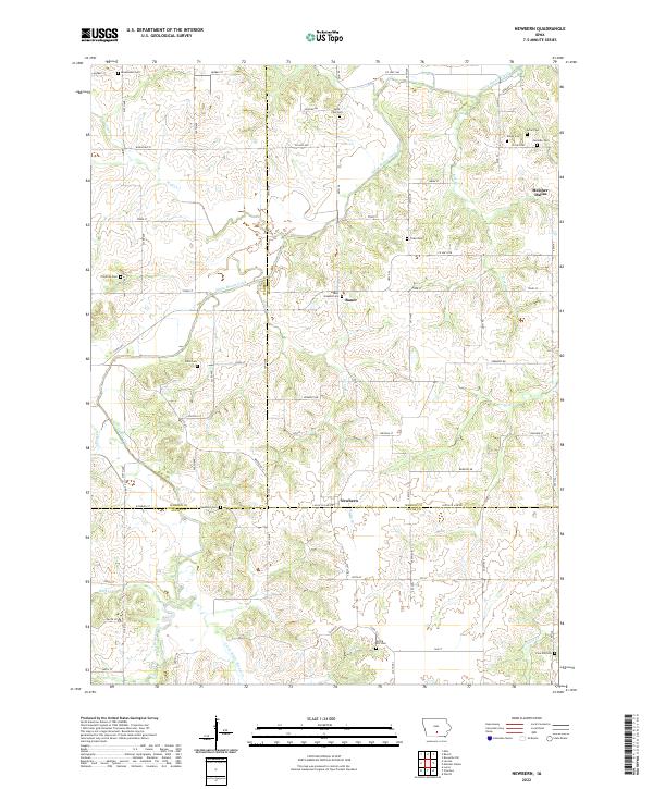 2022 Newbern2022 Print · USGSMarion and Lucas counties are shown here in the 2020s, highlighting the intersection of rural townships and winding creek valleys. Genealogists can locate numerous burial sites including Newbern Cem, Saint Josephs Cem, and Arian Cem near the town of Bauer.
 - 2022 Map of Melcher-Dallas, 2022 Print
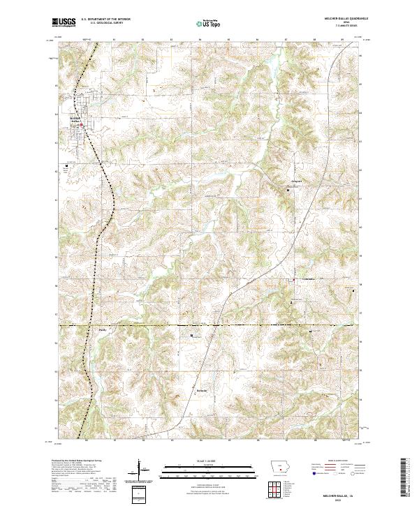 2022 Melcher-Dallas2022 Print · USGSMarion and Lucas Counties are captured here in the early twenty-first century, showcasing the rural landscapes surrounding Melcher-Dallas. Family researchers can trace local lineage through several burial grounds like Sacred Heart Cem and Clear Cem.
End of results
Showing maps 1-19 of 19
Top cities near Dallas Township
- Knoxville historical maps
- Chariton historical maps
- Pleasantville historical maps
- Melcher-Dallas historical maps
- Milo historical maps
- Russell historical maps
See more
Top neighborhoods of Dallas Township
Frequently asked questions
- What are the different types of historical maps available for Dallas Township?
- What is the oldest map of Dallas Township?
- Where can I purchase historical maps of Dallas Township for my home or office?
- Where can I download high-res historical maps of Dallas Township?
- Are there historical topographic maps available for Dallas Township?
- Is there historical aerial imagery available for Dallas Township?
- Where are historical maps of Dallas Township sourced from?