Old Maps of Franklin Township, Iowa for Genealogy
Trace your family roots with 34 historic maps of Franklin Township. These high-res maps reveal old neighborhoods, homesites, landmarks, and streets — helping you uncover where your ancestors lived and how the area evolved over time.
- Explore historic neighborhoods: Identify where your relatives may have lived in the 1800s or 1900s.
- Compare maps over time: Trace the changes in streets, buildings, and landmarks for multi-generational research.
- Perfect for genealogy & ancestry research: Used by family historians and researchers to map out lineage and migration.
These maps are an incredible resource for exploring your personal connection to Franklin Township's past.
Franklin Township, IA maps
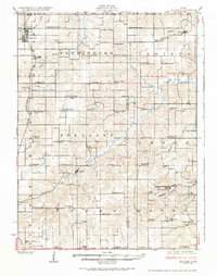
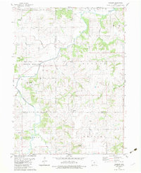
(34)- 1909 Map of Knoxville, 1958 Print
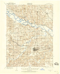 1909 Knoxville1958 Print · USGSMarion County at the start of the twentieth century is a landscape defined by its river valleys and dense network of country schools. Genealogists and historians can trace family roots through dozens of named landmarks like Stringtown School, Mt Vernon Church, and the river town of Red Rock.
 - 1910 Map of Milo
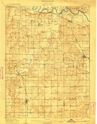 1910 Milo1910 Print · USGSWarren and Marion counties are captured here at the height of their early 20th-century rural development, before the modernization of the road network. Genealogists can trace family footprints through numerous country schools like Prairie Creek School and the river-crossing at Hammondsburg Bridge.2 unique versions available
 - 1912 Map of Knoxville
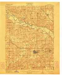 1912 Knoxville1912 Print · USGSMarion County at the dawn of the twentieth century was a landscape of bustling rail towns and river crossings. Genealogists can trace the exact locations of dozens of rural schoolhouses and churches like Stringtown School and Mt Vernon Church alongside the Des Moines River.2 unique versions available
 - 1918 Map of Chariton
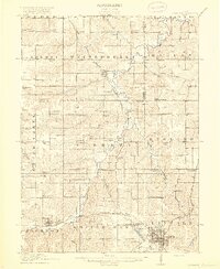 1918 Chariton1918 Print · USGSChariton and its neighboring townships thrive as a rail-connected agricultural hub during the late First World War era. Trace family roots at Chariton or locate rural landmarks like Indianola Junction and the Horstman School.4 unique versions available
 - 1924 Map of Melcher
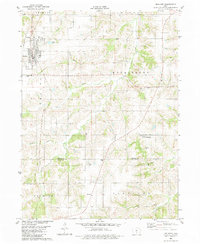
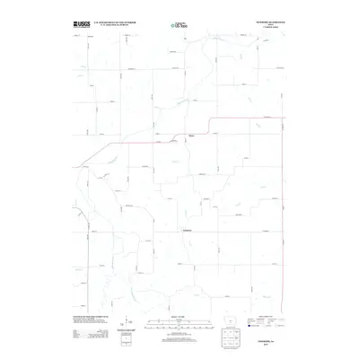
 1924 Melcher1924 Print · USGSSouth-central Iowa thrives during the 1920s coal boom, where rail lines and mine shafts transformed the rural landscape. Trace the growth of mining towns like Tipperary and Bucknell, and locate vanished local schools such as Coal Glen School.3 unique versions available
 - 1954 Map of Des Moines, 1973 Print
 1954 Des Moines1973 Print · USGSCentral Iowa's evolving landscape is captured here in the early seventies, just as major reservoirs were reshaping the river valleys. Genealogists and historians can trace the rail corridors of the Burlington Northern or locate family roots near Pella, Indianola, and Knoxville.2 unique versions available
 - 1956 Map of Des Moines
 1956 Des Moines1956 Print · USGSCentral Iowa in the mid-fifties shows a landscape defined by bustling rail hubs and deep-rooted agricultural research. Genealogists and researchers can trace the growth of Des Moines and Ames, locate the Sac and Fox Indian Reservation, or study the paths of the Skunk River and South Skunk River.
 - 1957 Map of Des Moines
 1957 Des Moines1957 Print · USGSCentral Iowa's post-war landscape is defined here by the converging rail lines and river valleys that shaped its earliest settlements. Genealogists and historians can trace the paths of the Rock Island Railroad and locate community landmarks in Des Moines, Ames, and Newton.
 - 1965 Map of Knoxville SW, 1966 Print
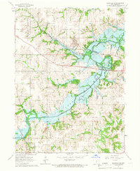 1965 Knoxville SW1966 Print · USGSMarion County comes into focus in the mid-sixties as the newly formed waters of Lake Red Rock reshape the landscape. Researchers can trace the legacy of early settlers and miners at Lincoln Cem, the village of Donnelley, and several local Strip Mines.
 - 1965 Map of Beech, 1966 Print
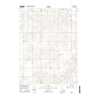
 1965 Beech1966 Print · USGSMarion County farming communities and rail lines are documented here in the mid-1960s, just as regional water management began altering the landscape. Genealogists can locate family landmarks like Highland Cem, Motor Ch, and the rural settlements of Beech and Caloma.
 - 1969 Map of Des Moines
 1969 Des Moines1969 Print · USGSCentral Iowa's fertile plains and growing capital are captured here during the late sixties, a time of major highway expansion and reservoir construction. Genealogists and researchers can trace rural township boundaries, local cemeteries, and rail lines serving towns like Pella, Grinnell, and Oskaloosa.
 - 1982 Map of Melcher, 1983 Print
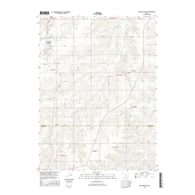
 1982 Melcher1983 Print · USGSMarion County agriculture and small-town life are captured here in the early eighties as the settlements of Melcher and Dallas thrive. Local researchers can trace family landmarks like Sacred Heart Ch, Columbia Cem, and the community of Gosport.
 - 1982 Map of Newbern, 1983 Print
 1982 Newbern1983 Print · USGSThe crossroads of Marion and Warren counties are captured here in the early eighties, showcasing a landscape of established family farms. Genealogists can trace local roots through numerous sites like St Paul Cem, Newbern Cem, and the community of Bauer.
 - 1984 Map of Indianola
 1984 Indianola1984 Print · USGSSouth-central Iowa in the mid-1980s reveals a patchwork of established rail hubs and significant new conservation areas. Trace the Chicago and North Western rail lines and explore rural landmarks like Lake Ahquabi State Park or the Strip Mine near Knoxville.
 - 2010 Map of Beech, 2010 Print
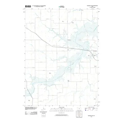
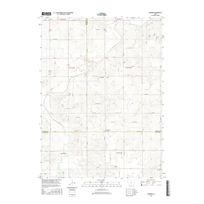
 2010 Beech2010 Print · USGSCovers Franklin Township, including Pleasantville, Union Township, and other nearby areas
 - 2010 Map of Melcher-Dallas, 2010 Print
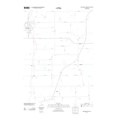
 2010 Melcher-Dallas2010 Print · USGSCovers Franklin Township, including Melcher-Dallas, Purdy, and other nearby areas
 - 2010 Map of Newbern, 2010 Print
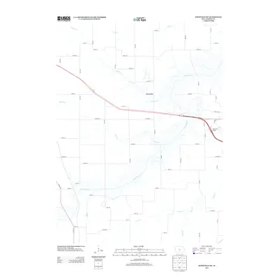
 2010 Newbern2010 Print · USGSCovers Franklin Township, including Melcher-Dallas, White Breast Township, and other nearby areas
 - 2010 Map of Knoxville SW, 2010 Print
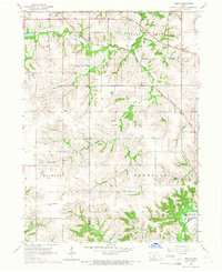
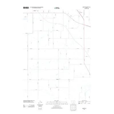
 2010 Knoxville SW2010 Print · USGSCovers Franklin Township, including Knoxville, Knoxville Township, and other nearby areas
 - 2013 Map of Melcher-Dallas, 2013 Print
 2013 Melcher-Dallas2013 Print · USGSCovers Franklin Township, including Melcher-Dallas, Purdy, and other nearby areas
 - 2013 Map of Knoxville SW, 2013 Print
 2013 Knoxville SW2013 Print · USGSCovers Franklin Township, including Knoxville, Knoxville Township, and other nearby areas
 - 2013 Map of Beech, 2013 Print
 2013 Beech2013 Print · USGSCovers Franklin Township, including Pleasantville, Union Township, and other nearby areas
 - 2013 Map of Newbern, 2013 Print
 2013 Newbern2013 Print · USGSCovers Franklin Township, including Melcher-Dallas, White Breast Township, and other nearby areas
 - 2015 Map of Beech, 2015 Print
 2015 Beech2015 Print · USGSCovers Franklin Township, including Pleasantville, Union Township, and other nearby areas
 - 2015 Map of Melcher-Dallas, 2015 Print
 2015 Melcher-Dallas2015 Print · USGSCovers Franklin Township, including Melcher-Dallas, Purdy, and other nearby areas
 - 2015 Map of Newbern, 2015 Print
 2015 Newbern2015 Print · USGSCovers Franklin Township, including Melcher-Dallas, White Breast Township, and other nearby areas
Showing maps 1-25 of 34
Top cities near Franklin Township
- Des Moines historical maps
- Knoxville historical maps
- Carlisle historical maps
- Monroe historical maps
- Pleasantville historical maps
- Melcher-Dallas historical maps
See more
Top neighborhoods of Franklin Township
Frequently asked questions
- What are the different types of historical maps available for Franklin Township?
- What is the oldest map of Franklin Township?
- Where can I purchase historical maps of Franklin Township for my home or office?
- Where can I download high-res historical maps of Franklin Township?
- Are there historical topographic maps available for Franklin Township?
- Is there historical aerial imagery available for Franklin Township?
- Where are historical maps of Franklin Township sourced from?