Old Maps of Marshall County, Iowa for Academic Research
Study the evolution of Marshall County with 108 high-resolution historic maps. Whether you're teaching, researching, or modeling changes in land use, these maps provide essential visual documentation of urban, environmental, and geographic change.
- Analyze long-term change: Track patterns in development, transportation, and natural features.
- Ideal for environmental or urban studies: Support academic projects with primary historical map data.
- Use in the classroom or lab: Educators and researchers rely on these maps to bring historical context to life.
These maps are a powerful tool for teaching, research, and visualizing how Marshall County has changed over the decades.
Marshall County, IA maps
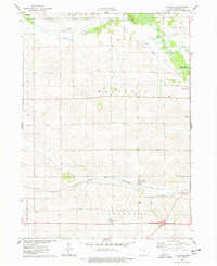
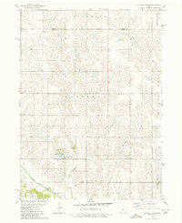
(108)- 1954 Map of Waterloo, 1968 Print
 1954 Waterloo1968 Print · USGSCentral Iowa at the height of its mid-century agricultural and rail boom features the growing hubs of Waterloo and Cedar Falls. Genealogists and researchers can trace the rail corridors of the Chicago Great Western and find local landmarks like Iowa State College and Brushy Ridge.4 unique versions available
 - 1954 Map of Des Moines, 1973 Print
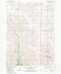
 1954 Des Moines1973 Print · USGSCentral Iowa's evolving landscape is captured here in the early seventies, just as major reservoirs were reshaping the river valleys. Genealogists and historians can trace the rail corridors of the Burlington Northern or locate family roots near Pella, Indianola, and Knoxville.2 unique versions available
 - 1955 Map of Waterloo
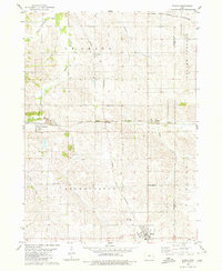
 1955 Waterloo1955 Print · USGSCentral Iowa in the mid-fifties presents a dense landscape of rail-connected farming towns and growing river cities. Researchers can trace ancestral roots and old transport routes through Waterloo, Marshalltown, and Ames, while locating rural Cemeteries and local Quarries.2 unique versions available
 - 1956 Map of Des Moines
 1956 Des Moines1956 Print · USGSCentral Iowa in the mid-fifties shows a landscape defined by bustling rail hubs and deep-rooted agricultural research. Genealogists and researchers can trace the growth of Des Moines and Ames, locate the Sac and Fox Indian Reservation, or study the paths of the Skunk River and South Skunk River.
 - 1957 Map of Des Moines
 1957 Des Moines1957 Print · USGSCentral Iowa's post-war landscape is defined here by the converging rail lines and river valleys that shaped its earliest settlements. Genealogists and historians can trace the paths of the Rock Island Railroad and locate community landmarks in Des Moines, Ames, and Newton.
 - 1960 Map of Marshalltown, 1962 Print
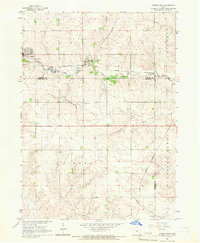
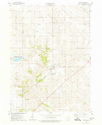
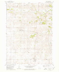
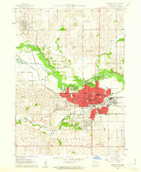 1960 Marshalltown1962 Print · USGSMarshalltown at the dawn of the sixties shows a thriving central Iowa hub defined by its river and rail connections. Genealogists and historians can trace neighborhood developments near Riverside Cemetery or locate family schools like Woodbury Sch and Glick Sch.2 unique versions available
 - 1960 Map of Marshalltown, 1962 Print
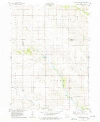
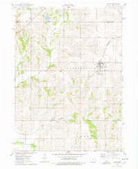
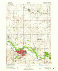 1960 Marshalltown1962 Print · USGSIn the early 1960s, Marshalltown stood as a bustling rail and manufacturing center along the Iowa River. Genealogists can trace family names through several historic sites, including Riverside Cem, Rose Hill Memorial Gardens, and the rural Prairieville Cem.2 unique versions available
 - 1960 Map of Le Grand, 1962 Print
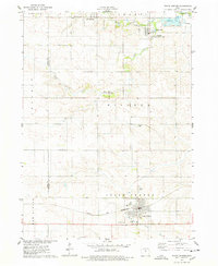
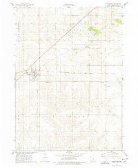
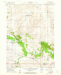 1960 Le Grand1962 Print · USGSMarshall County farm country and the industrial river valley are captured here in the early sixties. Researchers can trace the dual rail lines of the Chicago Great Western and the Chicago and North Western or locate family plots at Rock Valley Cem and Pleasant Hill Cem.2 unique versions available
 - 1960 Map of Conrad West, 1966 Print
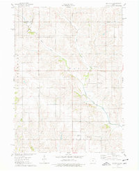
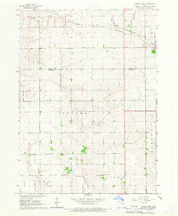 1960 Conrad West1966 Print · USGSThe Grundy and Marshall county line in the early sixties is defined by the intersection of rail and stream. Genealogists and researchers can trace local land patterns through Conrad, the Prairieville Cem, and the industrial Quarry site.2 unique versions available
 - 1960 Map of Conrad East, 1966 Print
 1960 Conrad East1966 Print · USGSMid-century Marshall County agriculture and commerce meet in this survey of the Grundy and Tama county borders. Genealogists and historians can trace the paths of the Chicago and North Western rail line through Beaman and locate family sites at Vienna Cem or Oakland Cem.
 - 1969 Map of Des Moines
 1969 Des Moines1969 Print · USGSCentral Iowa's fertile plains and growing capital are captured here during the late sixties, a time of major highway expansion and reservoir construction. Genealogists and researchers can trace rural township boundaries, local cemeteries, and rail lines serving towns like Pella, Grinnell, and Oskaloosa.
 - 1975 Map of State Center NW, 1978 Print
 1975 State Center NW1978 Print · USGSMarshall County farmsteads and creek valleys are documented here in the mid-seventies, showing the rural landscape before further consolidation. Researchers can locate St Anthony, several Gravel Pits, and local landmarks like Illinois Grove Cem.
 - 1975 Map of State Center, 1978 Print
 1975 State Center1978 Print · USGSCentral Marshall County thrived in the mid-seventies as a hub of rail activity and rural settlement. Researchers can trace the Chicago and Northwestern line or locate family sites like Sacred Heart Cem and St Johns Ch.
 - 1975 Map of Union, 1978 Print
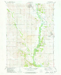 1975 Union1978 Print · USGSHardin and Marshall counties meet along the winding Iowa River in the mid-seventies, where agriculture and rail lines define the landscape. Genealogists can trace family roots through several local burial sites like Union Cem, Bangor Cem, and Gaer-Ballard Cem.
 - 1975 Map of Rhodes, 1978 Print
 1975 Rhodes1978 Print · USGSRhodes and the surrounding Marshall County farmland are captured in the mid-seventies, showing a landscape defined by rail and river. Genealogists can locate several rural burial grounds including Wilkey Cem, Day Cem, and St Josephs Cem alongside the Chicago Milwaukee St Paul and Pacific tracks.
 - 1975 Map of Baxter, 1978 Print
 1975 Baxter1978 Print · USGSThe town of Baxter and its surrounding townships are shown here during the mid-1970s, capturing the organized grid of Iowa's agricultural heartland. Genealogists and local historians can locate several rural burial grounds, including Restland Cem and Independence Cem, alongside the CHICAGO AND NORTH WESTERN rail line.
 - 1975 Map of Melbourne, 1978 Print
 1975 Melbourne1978 Print · USGSMelbourne and the surrounding Marshall County countryside are caught in the mid-1970s, showcasing a landscape defined by its vital rail junctions. Genealogists and local historians can trace rural roots at Maple Grove Cem, the small settlement of Van Cleve, and the historic Chicago and North Western rail lines.
 - 1975 Map of Baxter SE, 1978 Print
 1975 Baxter SE1978 Print · USGSJasper County farmland in the mid-1970s is defined by the winding North Skunk River and a network of rural townships. Genealogists and local historians can locate several family burial grounds including Bethany Cem and the Wittenberg Grange Hall.
 - 1975 Map of La Moille, 1978 Print
 1975 La Moille1978 Print · USGSMid-century Marshall County agriculture and river life come into focus as the Iowa River winds past Moningers and Marietta. Genealogists and historians can trace family roots through the La Moille Cem, Hixite Cem, and the old County Home grounds.
 - 1980 Map of Newburg
 1980 Newburg1980 Print · USGSJasper and Marshall counties are captured in the 1980s as rural agricultural centers defined by the Chicago and North Western railroad. Researchers can trace local heritage through landmarks like Newburg, Hickory Grove Ch, and the recreation areas at Rock Creek State Park.
 - 1980 Map of Gilman
 1980 Gilman1980 Print · USGSMid-century Marshall and Tama counties remain centered on their railroad heritage and small township communities. Genealogists and historians can trace the foundations of Gilman, find the rural Stavanger Ch, and locate family plots at Prairie View Cem.
 - 1980 Map of Laurel
 1980 Laurel1980 Print · USGSMarshall County's rural townships are captured in the late twentieth century, showing a landscape of established farmsteads and shifting rail corridors. Genealogists can locate numerous historic burial sites and churches like Center School Cem, Graceland Cem, and the Church of the Bible Covenant.
 - 1980 Map of Alloway Creek
 1980 Alloway Creek1980 Print · USGSThe rural borderlands of Jasper and Marshall counties come to life in this 1980 study of the Iowa heartland. Local historians can trace family roots near the Rushville Cem or explore the mid-century development of Mariposa County Park and Ken Wolfe Lake.
 - 1984 Map of Marshalltown, 1985 Print
 1984 Marshalltown1985 Print · USGSMid-Iowa's agricultural landscape and river corridors come alive in the mid-eighties as the Cedar River connects industrial hubs and small farm towns. Trace the tracks of the CHICAGO AND NORTHWESTERN or locate local landmarks like Union Grove State Park and Cedar Falls Junction.2 unique versions available
 - 1984 Map of Des Moines, 1985 Print
 1984 Des Moines1985 Print · USGSCentral Iowa's heartland is captured in the mid-1980s as suburban growth met long-standing farm and rail infrastructure. Genealogists and researchers can trace the reaches of the Chicago and North Western through Maxwell or locate Laurel Hill Cem and Camp Dodge Military Reservation.2 unique versions available
Showing maps 1-25 of 108
Top cities of Marshall County
Frequently asked questions
- What are the different types of historical maps available for Marshall County?
- What is the oldest map of Marshall County?
- Where can I purchase historical maps of Marshall County for my home or office?
- Where can I download high-res historical maps of Marshall County?
- Are there historical topographic maps available for Marshall County?
- Is there historical aerial imagery available for Marshall County?
- Where are historical maps of Marshall County sourced from?