Old Maps of Iowa Township, Iowa for Academic Research
Study the evolution of Iowa Township with 30 high-resolution historic maps. Whether you're teaching, researching, or modeling changes in land use, these maps provide essential visual documentation of urban, environmental, and geographic change.
- Analyze long-term change: Track patterns in development, transportation, and natural features.
- Ideal for environmental or urban studies: Support academic projects with primary historical map data.
- Use in the classroom or lab: Educators and researchers rely on these maps to bring historical context to life.
These maps are a powerful tool for teaching, research, and visualizing how Iowa Township has changed over the decades.
Iowa Township, IA maps
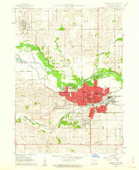
(30)- 1954 Map of Waterloo, 1968 Print
 1954 Waterloo1968 Print · USGSCentral Iowa at the height of its mid-century agricultural and rail boom features the growing hubs of Waterloo and Cedar Falls. Genealogists and researchers can trace the rail corridors of the Chicago Great Western and find local landmarks like Iowa State College and Brushy Ridge.4 unique versions available
 - 1955 Map of Waterloo
 1955 Waterloo1955 Print · USGSCentral Iowa in the mid-fifties presents a dense landscape of rail-connected farming towns and growing river cities. Researchers can trace ancestral roots and old transport routes through Waterloo, Marshalltown, and Ames, while locating rural Cemeteries and local Quarries.2 unique versions available
 - 1960 Map of Marshalltown, 1962 Print
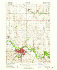
 1960 Marshalltown1962 Print · USGSMarshalltown at the dawn of the sixties shows a thriving central Iowa hub defined by its river and rail connections. Genealogists and historians can trace neighborhood developments near Riverside Cemetery or locate family schools like Woodbury Sch and Glick Sch.2 unique versions available
 - 1960 Map of Marshalltown, 1962 Print
 1960 Marshalltown1962 Print · USGSIn the early 1960s, Marshalltown stood as a bustling rail and manufacturing center along the Iowa River. Genealogists can trace family names through several historic sites, including Riverside Cem, Rose Hill Memorial Gardens, and the rural Prairieville Cem.2 unique versions available
 - 1960 Map of Conrad West, 1966 Print
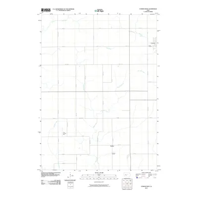
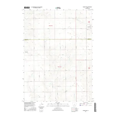
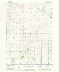 1960 Conrad West1966 Print · USGSThe Grundy and Marshall county line in the early sixties is defined by the intersection of rail and stream. Genealogists and researchers can trace local land patterns through Conrad, the Prairieville Cem, and the industrial Quarry site.2 unique versions available
 - 1975 Map of Union, 1978 Print
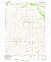
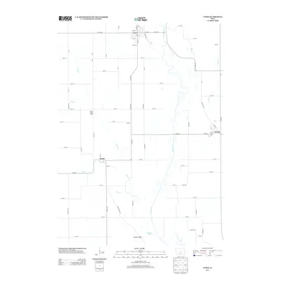
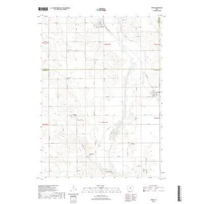
 1975 Union1978 Print · USGSHardin and Marshall counties meet along the winding Iowa River in the mid-seventies, where agriculture and rail lines define the landscape. Genealogists can trace family roots through several local burial sites like Union Cem, Bangor Cem, and Gaer-Ballard Cem.
 - 1975 Map of La Moille, 1978 Print
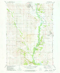
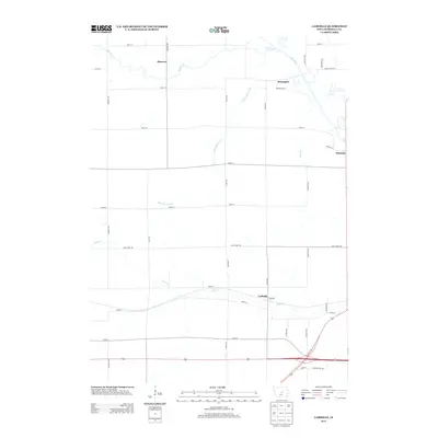
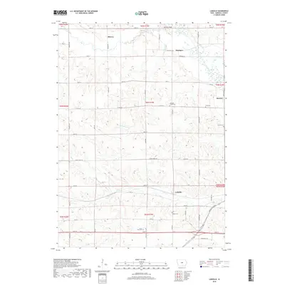
 1975 La Moille1978 Print · USGSMid-century Marshall County agriculture and river life come into focus as the Iowa River winds past Moningers and Marietta. Genealogists and historians can trace family roots through the La Moille Cem, Hixite Cem, and the old County Home grounds.
 - 1984 Map of Marshalltown, 1985 Print
 1984 Marshalltown1985 Print · USGSMid-Iowa's agricultural landscape and river corridors come alive in the mid-eighties as the Cedar River connects industrial hubs and small farm towns. Trace the tracks of the CHICAGO AND NORTHWESTERN or locate local landmarks like Union Grove State Park and Cedar Falls Junction.2 unique versions available
 - 1985 Map of Ames
 1985 Ames1985 Print · USGSCentral Iowa's prairie landscape in the mid-eighties shows a well-established network of rail towns and conservation areas. Genealogists and historians can trace the paths of the Lincoln Highway and the Chicago and North Western line connecting Ames, Boone, and Webster City.
 - 1993 Map of Ames
 1993 Ames1993 Print · USGSCentral Iowa in the early nineties shows a landscape of river-fed parklands and growing academic centers. Genealogists and researchers can trace local church sites like Sts Peter and Paul Ch or navigate the corridors of the Chicago and North Western through towns like Hubbard and Stanhope.
 - 2010 Map of Marshalltown, 2010 Print
 2010 Marshalltown2010 Print · USGSCovers Iowa Township, including Marshalltown, Albion, and other nearby areas
 - 2010 Map of LaMoille, 2010 Print
 2010 LaMoille2010 Print · USGSCovers Iowa Township, including Bangor Township, State Center Township, and other nearby areas
 - 2010 Map of Union, 2010 Print
 2010 Union2010 Print · USGSCovers Iowa Township, including Union, Liscomb, and other nearby areas
 - 2010 Map of Conrad West, 2010 Print
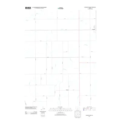
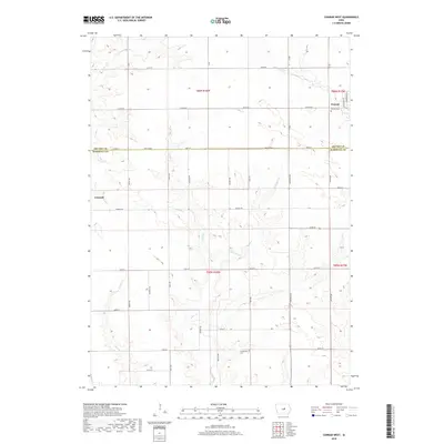
 2010 Conrad West2010 Print · USGSCovers Iowa Township, including Conrad, Liscomb, and other nearby areas
 - 2013 Map of LaMoille, 2013 Print
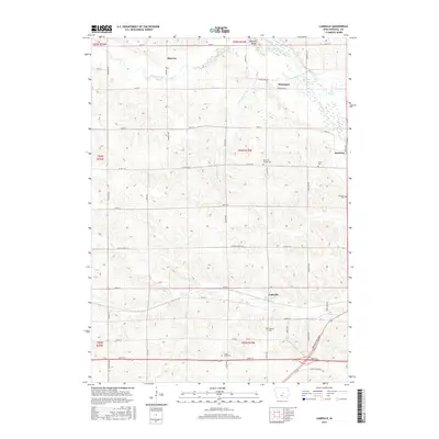
 2013 LaMoille2013 Print · USGSCovers Iowa Township, including Bangor Township, State Center Township, and other nearby areas
 - 2013 Map of Union, 2013 Print
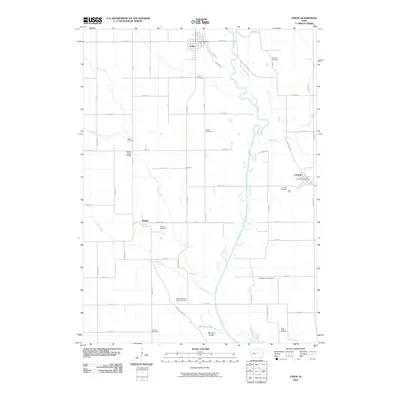
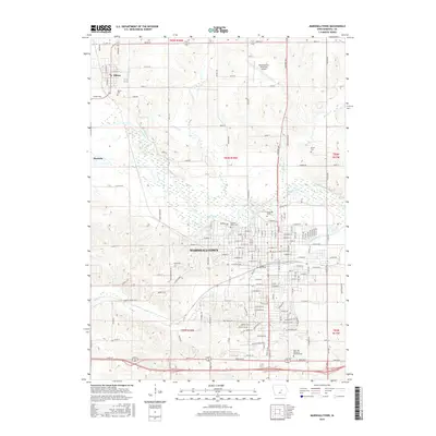
 2013 Union2013 Print · USGSCovers Iowa Township, including Union, Liscomb, and other nearby areas
 - 2013 Map of Conrad West, 2013 Print
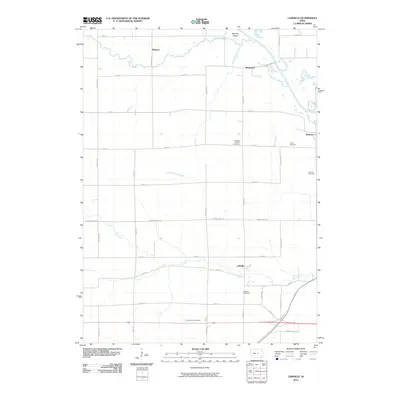
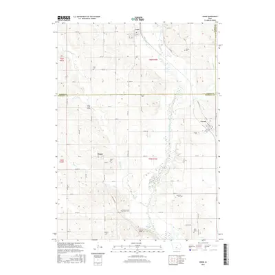
 2013 Conrad West2013 Print · USGSCovers Iowa Township, including Conrad, Liscomb, and other nearby areas
 - 2013 Map of Marshalltown, 2013 Print
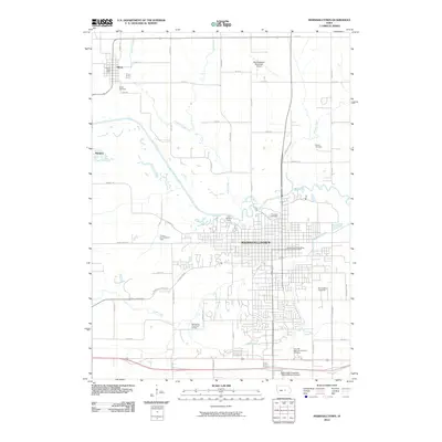
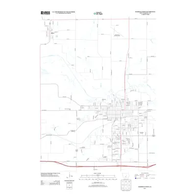 2013 Marshalltown2013 Print · USGSCovers Iowa Township, including Marshalltown, Albion, and other nearby areas
 - 2015 Map of Union, 2015 Print
 2015 Union2015 Print · USGSCovers Iowa Township, including Union, Liscomb, and other nearby areas
 - 2015 Map of LaMoille, 2015 Print
 2015 LaMoille2015 Print · USGSCovers Iowa Township, including Bangor Township, State Center Township, and other nearby areas
 - 2015 Map of Marshalltown, 2015 Print
 2015 Marshalltown2015 Print · USGSCovers Iowa Township, including Marshalltown, Albion, and other nearby areas
 - 2015 Map of Conrad West, 2015 Print
 2015 Conrad West2015 Print · USGSCovers Iowa Township, including Conrad, Liscomb, and other nearby areas
 - 2018 Map of LaMoille, 2018 Print
 2018 LaMoille2018 Print · USGSCovers Iowa Township, including Bangor Township, State Center Township, and other nearby areas
 - 2018 Map of Union, 2018 Print
 2018 Union2018 Print · USGSCovers Iowa Township, including Union, Liscomb, and other nearby areas
 - 2018 Map of Conrad West, 2018 Print
 2018 Conrad West2018 Print · USGSCovers Iowa Township, including Conrad, Liscomb, and other nearby areas
Showing maps 1-25 of 30
Top cities near Iowa Township
- Marshalltown historical maps
- Eldora historical maps
- State Center historical maps
- Conrad historical maps
- Le Grand historical maps
- Melbourne historical maps
See more
Top neighborhoods of Iowa Township
Frequently asked questions
- What are the different types of historical maps available for Iowa Township?
- What is the oldest map of Iowa Township?
- Where can I purchase historical maps of Iowa Township for my home or office?
- Where can I download high-res historical maps of Iowa Township?
- Are there historical topographic maps available for Iowa Township?
- Is there historical aerial imagery available for Iowa Township?
- Where are historical maps of Iowa Township sourced from?