Old Maps of Glenwood, Iowa for Metal Detecting
Plan your next treasure hunt with 18 historic maps of Glenwood. Find old homesites, ghost towns, trails, and gathering spots that may be lost to time — perfect for identifying promising metal detecting locations.
- Locate forgotten sites: Uncover places like long-lost settlements, abandoned rail lines, or gathering spots.
- Plan better hunts: Use map overlays combined with LiDAR or satellite views to narrow in on historically rich areas.
- Made for detectorists: Thousands of hobbyists use these maps to discover relics, coins, and hidden history.
Use these historic maps to boost your research and find new opportunities beneath the surface of Glenwood.
Glenwood, IA maps
(18)- 1954 Map of Omaha, 1967 Print
 1954 Omaha1967 Print · USGSMid-century development radiates from the river bluffs into the agricultural heartland during this period of post-war growth. Genealogists and historians can trace rail-connected towns like Atlantic and Red Oak or locate the sprawling grounds of Offutt Air Force Base and Manawa Lake.3 unique versions available
 - 1956 Map of Glenwood, 1957 Print
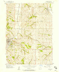 1956 Glenwood1957 Print · USGSMills County at the mid-century mark shows a landscape of rail-connected towns and a vanishing world of rural schoolhouses. Genealogists and local historians can trace family locations near landmarks like Silver City, Hillsdale Cem, and the State School.3 unique versions available
 - 1956 Map of Pacific Junction, 1958 Print
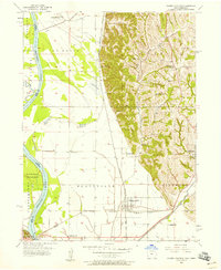 1956 Pacific Junction1958 Print · USGSPacific Junction and the Missouri River bluffs are documented here during the mid-1950s at the height of the railroad era. Researchers can trace rural school districts and family burial sites such as West Liberty Sch No 3, Bethlehem Sch, and Gowen Cem.4 unique versions available
 - 1957 Map of Omaha
 1957 Omaha1957 Print · USGSWestern Iowa and the Missouri River valley are seen here in the mid-fifties during the height of the rail-and-road era. Researchers can trace the sprawling rail lines of the Chicago And North Western or locate Cold War landmarks like Offutt Air Force Base.
 - 1958 Map of Omaha
 1958 Omaha1958 Print · USGSOmaha and Council Bluffs stand at the center of this mid-fifties landscape, where the Missouri River splits the urban plains of Nebraska from the rolling hills of western Iowa. Genealogists can trace the rail lines of the Wabash RR and Illinois Central RR to rural settlements like Missouri Valley and Red Oak.2 unique versions available
 - 1985 Map of Omaha
 1985 Omaha1985 Print · USGSMid-century development and heavy rail infrastructure define the Missouri River corridor between Nebraska and Iowa. Genealogists and local historians can trace the footprints of Offutt Air Force Base, Forest Lawn Cemetery, and the Iowa School for the Deaf.2 unique versions available
 - 1993 Map of Pacific Junction, 1995 Print
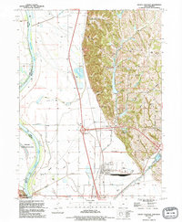 1993 Pacific Junction1995 Print · USGSThe Missouri River bottoms of Mills County were a critical junction for rail and flood control in the early nineties. Genealogists can trace family landmarks like Wall Cem and Martin Chapel (Cem) or the rail lines of the Burlington Northern.
 - 1994 Map of Glenwood
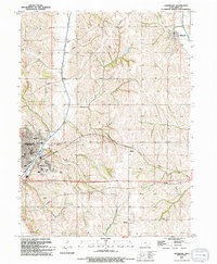 1994 Glenwood1994 Print · USGSThe loess hills of Mills County come alive in this mid-nineties survey of the Glenwood and Silver City corridor. Genealogists and historians can trace institutional sites like the Glenwood State Hospital Sch or explore old village sites at Hillsdale and Balfour.
 - 2010 Map of Glenwood, 2010 Print
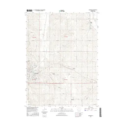
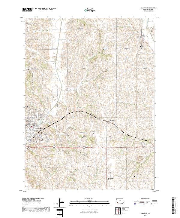
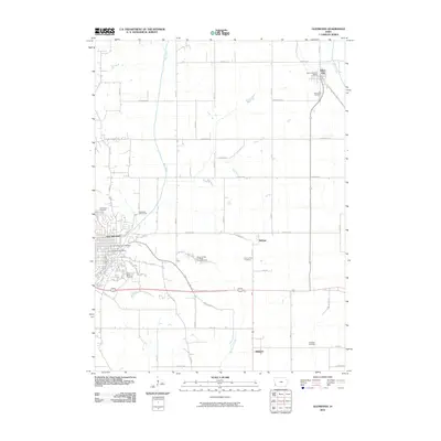 2010 Glenwood2010 Print · USGSCovers Glenwood, including Silver City, Balfour, and other nearby areas
 - 2010 Map of Pacific Junction, 2010 Print
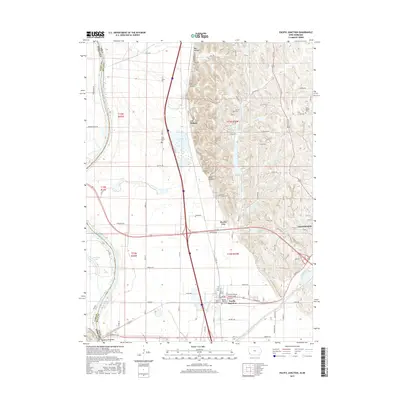
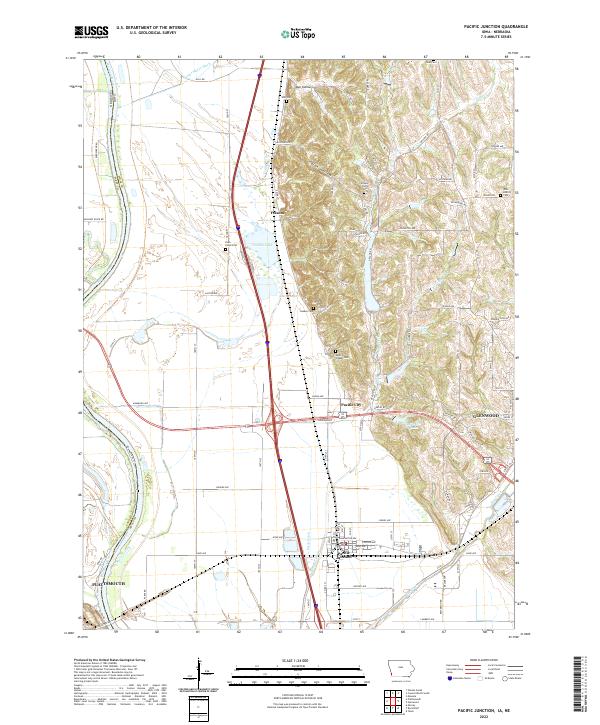
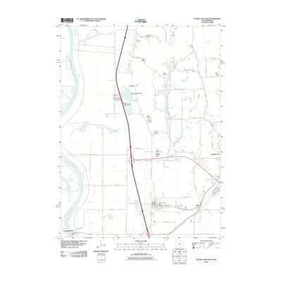 2010 Pacific Junction2010 Print · USGSCovers Glenwood, including Plattsmouth, Pacific Junction, and other nearby areas
 - 2013 Map of Glenwood, 2013 Print
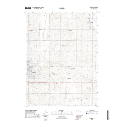
 2013 Glenwood2013 Print · USGSCovers Glenwood, including Silver City, Balfour, and other nearby areas
 - 2013 Map of Pacific Junction, 2013 Print
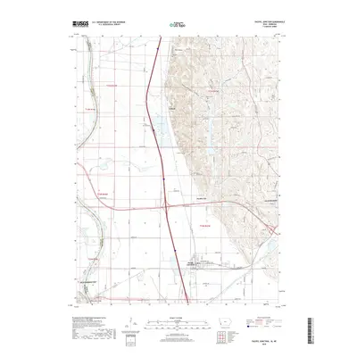
 2013 Pacific Junction2013 Print · USGSCovers Glenwood, including Plattsmouth, Pacific Junction, and other nearby areas
 - 2015 Map of Glenwood, 2015 Print
 2015 Glenwood2015 Print · USGSCovers Glenwood, including Silver City, Balfour, and other nearby areas
 - 2015 Map of Pacific Junction, 2015 Print
 2015 Pacific Junction2015 Print · USGSCovers Glenwood, including Plattsmouth, Pacific Junction, and other nearby areas
 - 2018 Map of Glenwood, 2018 Print
 2018 Glenwood2018 Print · USGSCovers Glenwood, including Silver City, Balfour, and other nearby areas
 - 2018 Map of Pacific Junction, 2018 Print
 2018 Pacific Junction2018 Print · USGSCovers Glenwood, including Plattsmouth, Pacific Junction, and other nearby areas
 - 2022 Map of Glenwood, 2022 Print
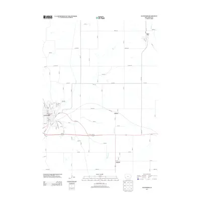
 2022 Glenwood2022 Print · USGSGlenwood and the surrounding hills of Mills County are shown here in the early twenty-first century, featuring a landscape deeply tied to its county seat and rural cemeteries. Researchers can trace family sites at Bomar Family Cem, locate the Mills County Courthouse, or follow the Wabash Trace Nature Trl through Silver City.
 - 2022 Map of Pacific Junction, 2022 Print
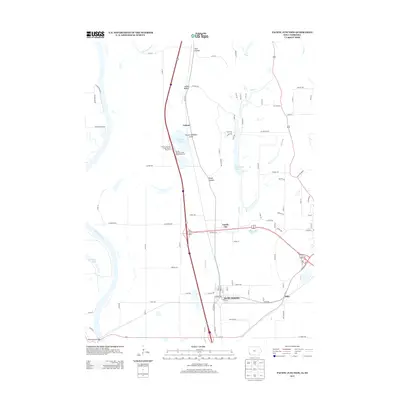
 2022 Pacific Junction2022 Print · USGSPacific Junction and the Mills County bottomlands are shown here in the modern era as the Missouri River valley meets the eastern bluffs. Researchers can trace family history through numerous rural burial grounds like Gowen-Turner Cem and Saar Cem, or locate the small settlements of Folsom and Pacific City.
End of results
Showing maps 1-18 of 18
Top cities near Glenwood
- Omaha historical maps
- Council Bluffs historical maps
- Bellevue historical maps
- Plattsmouth historical maps
- Malvern historical maps
- Treynor historical maps
See more
Frequently asked questions
- What are the different types of historical maps available for Glenwood?
- What is the oldest map of Glenwood?
- Where can I purchase historical maps of Glenwood for my home or office?
- Where can I download high-res historical maps of Glenwood?
- Are there historical topographic maps available for Glenwood?
- Is there historical aerial imagery available for Glenwood?
- Where are historical maps of Glenwood sourced from?