2000s (21st Century) Maps of Stennett, Iowa
Explore 5 historic maps of Stennett from the 2000s (21st Century). These maps offer a rare glimpse into what life looked like during the 2000s — showing old roads, neighborhoods, homes, and landmarks that have changed or disappeared over time.
Whether you're researching your family's past, planning a metal detecting trip, or studying how Stennett's landscape evolved across the 2000s, these high-resolution maps are a powerful tool for exploring the history of this region.
- Focus on a specific era: All maps on this page are from the 2000s, giving you a focused view of this time period.
- See what’s changed: Compare century-old streets, trails, and buildings to today's modern landscape using overlays and satellite layers.
- Research with precision: Use these maps for genealogy, historical research, land use analysis, or educational projects.
- View, download, or print: Maps are fully viewable online in high resolution, and can be downloaded or printed for your own records.
Start exploring Stennett's history through authentic maps from the 2000s. This is your window into the past.
Stennett, IA maps
(5)- 2010 Map of Red Oak North, 2010 Print
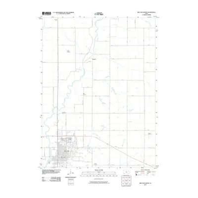 2010 Red Oak North2010 Print · USGSCovers Stennett, including Red Oak, Montgomery County, and other nearby areas
 - 2013 Map of Red Oak North, 2013 Print
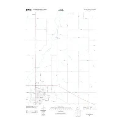 2013 Red Oak North2013 Print · USGSCovers Stennett, including Red Oak, Montgomery County, and other nearby areas
 - 2015 Map of Red Oak North, 2015 Print
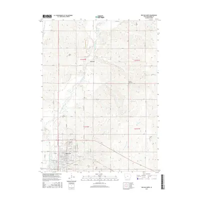 2015 Red Oak North2015 Print · USGSCovers Stennett, including Red Oak, Montgomery County, and other nearby areas
 - 2018 Map of Red Oak North, 2018 Print
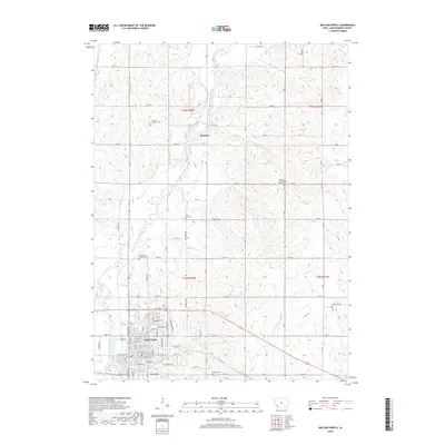 2018 Red Oak North2018 Print · USGSCovers Stennett, including Red Oak, Montgomery County, and other nearby areas
 - 2022 Map of Red Oak North, 2022 Print
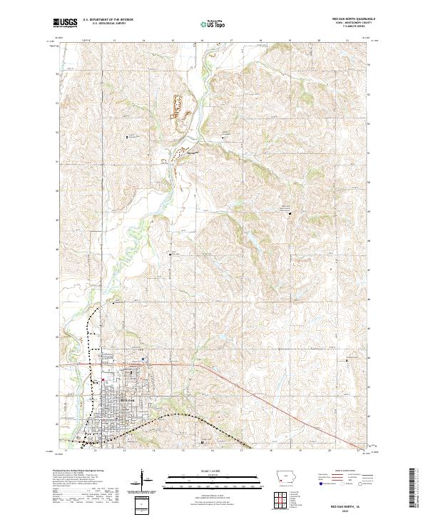 2022 Red Oak North2022 Print · USGSMontgomery County, Iowa, is captured here in the early 2020s, centered on the river valley north of Red Oak. Genealogists will find a remarkable collection of small burial sites to trace, from the Indian Graveyard to the Mrs Frank Hacffich and Infant Grave.
End of results
Showing maps 1-5 of 5
Top cities near Stennett
- Red Oak historical maps
- Oakland historical maps
- Villisca historical maps
- Griswold historical maps
- Carson historical maps
- Stanton historical maps
See more
Frequently asked questions
- What are the different types of historical maps available for Stennett?
- What is the oldest map of Stennett?
- Where can I purchase historical maps of Stennett for my home or office?
- Where can I download high-res historical maps of Stennett?
- Are there historical topographic maps available for Stennett?
- Is there historical aerial imagery available for Stennett?
- Where are historical maps of Stennett sourced from?